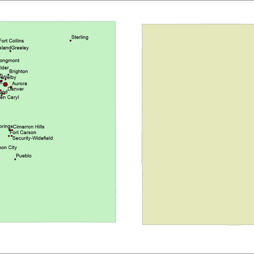
Colorado Free Silhouette Map
Colorado Free Silhouette Map Adobe Illustrator and Layered PDF file to download
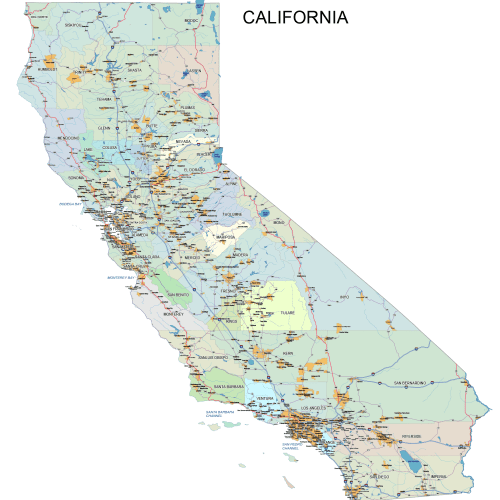
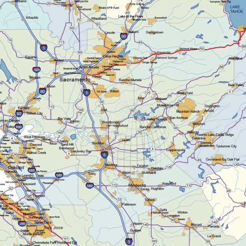
California Road and City Map
The California road and city map displays a wide range of features, including major roads, cities, and larger settlements. Rivers, lakes. AI, PDF.
Price range: 40,00 $ through 45,00 $
Select optionsThis product has multiple variants. The options may be chosen on the product page
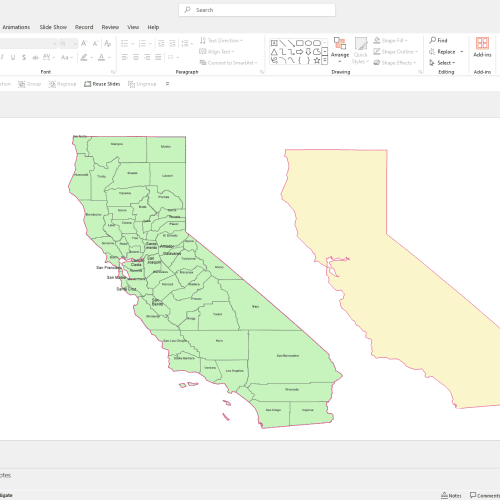
California PowerPoint Map
California PowerPoint Map: A file with a PPTX extension. It contains counties and names.
12,00 $
Add to cart
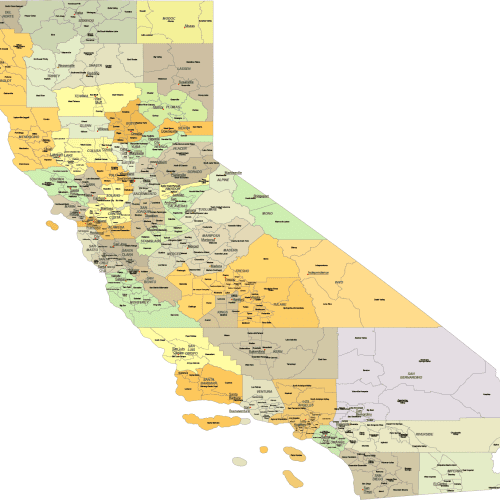
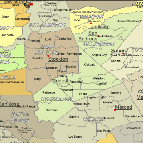
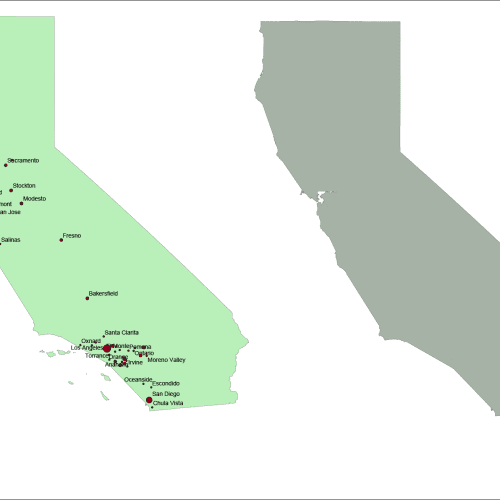
California County and Communities Map
The California county and communities map showcases cities, districts, villages, boroughs, barrios, and townships. Instant download file.
Price range: 23,00 $ through 25,00 $
Select optionsThis product has multiple variants. The options may be chosen on the product page
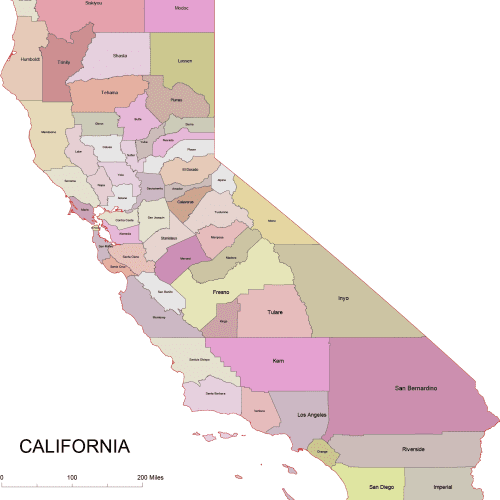
California Colored County Map
California Colored County Map: A high-quality, fully editable vector map of California, AI, and Layered PDF file. Instant download.
Price range: 10,00 $ through 12,00 $
Select optionsThis product has multiple variants. The options may be chosen on the product page
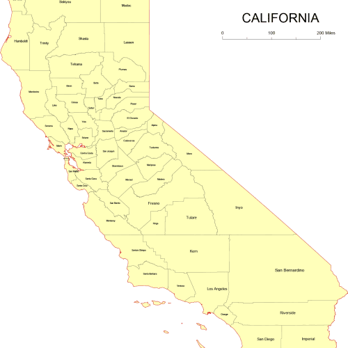
California Vector County Map
California Vector County Map is a professionally designed Illustrator artwork. The map supports infinite magnification.
Price range: 8,00 $ through 10,00 $
Select optionsThis product has multiple variants. The options may be chosen on the product page
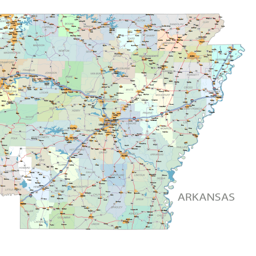
Arkansas Road and City Map
Arkansas Road and City Map displays a wide range of features, including major roads, cities, and larger settlements. Rivers, lakes. AI, PDF.
Price range: 42,00 $ through 45,00 $
Select optionsThis product has multiple variants. The options may be chosen on the product page
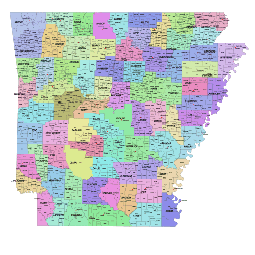
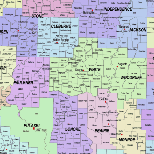
Arkansas County and Communities Map
Arkansas County and Communities Map showcases cities, districts, villages, boroughs, barrios, and townships. Instant download file.
25,00 $
Select optionsThis product has multiple variants. The options may be chosen on the product page