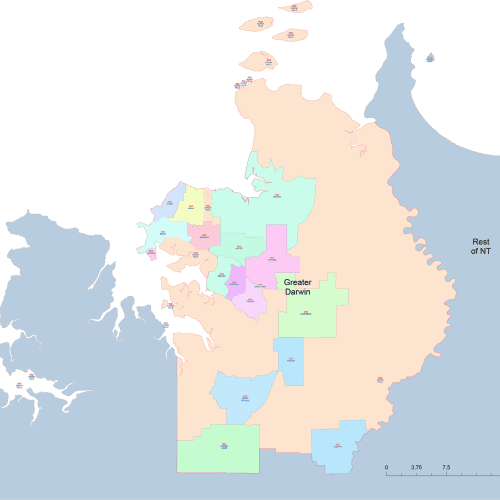
Greater Darwin Postal Code Map
Greater Darwin Postal Code Map vector map displaying postal codes for major Australian cities. Fully editable, Illustrator-compatible file
19,00 $
Add to cart
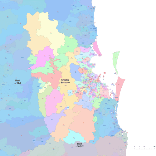
Greater Brisbane Postal Codes
Greater Brisbane Postal Codes A collection of vector maps displaying postal codes for major Australian cities.
19,00 $
Add to cart
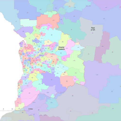
Greater Adelaide Postal Code Map
Greater Adelaide postal code map in Australia Fully editable, Illustrator-compatible, and perfect for logistics, marketing, and geographic analysis.
19,00 $
Add to cart
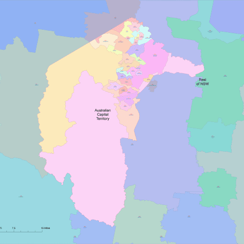
Canberra-capital-territory-postalcode
Canberra-capital-territory-postalcode. It is fully editable, Illustrator-compatible, and perfect for logistics, marketing, and geographic analysis.
19,00 $
Add to cart
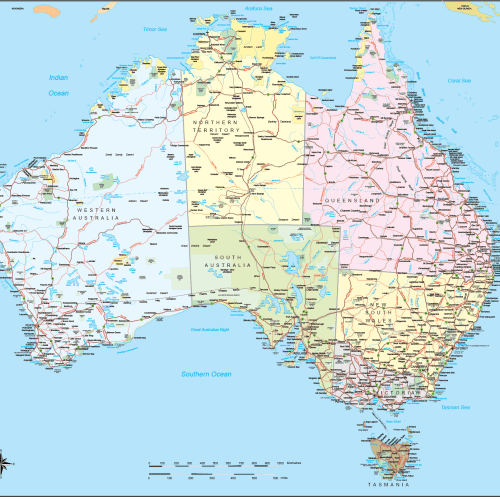
Australia Road and City Map
Australia Road and City map with 21 editable layers, roads, cities, landmarks, water features, and transportation hubs. Illustrator 2022 format, 2 MB
39,90 $
Add to cart
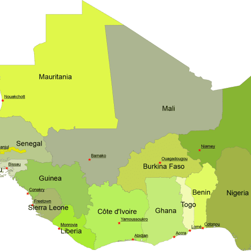
West Africa Digital Map
West Africa Digital Map for printing and PowerPoint. Country name and capitals. AI (2022) and Layered PDF file.
Price range: 10,00 $ through 12,00 $
Select optionsThis product has multiple variants. The options may be chosen on the product page
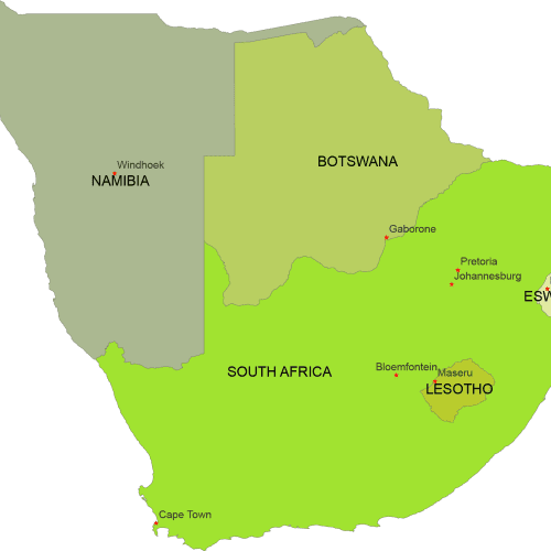
South Africa Digital Map
South Africa Digital Map represents geographical shape of countries with capitals.Adobe Illustrator (2022) and Layered PDF file.
Price range: 10,00 $ through 12,00 $
Select optionsThis product has multiple variants. The options may be chosen on the product page
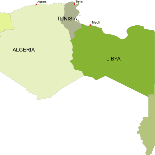
North Africa Digital Map
North Africa Digital Map. 7 coutries with different colors with capitals.Adobe Illustrator (2022) and Layered PDF file.
Price range: 10,00 $ through 12,00 $
Select optionsThis product has multiple variants. The options may be chosen on the product page
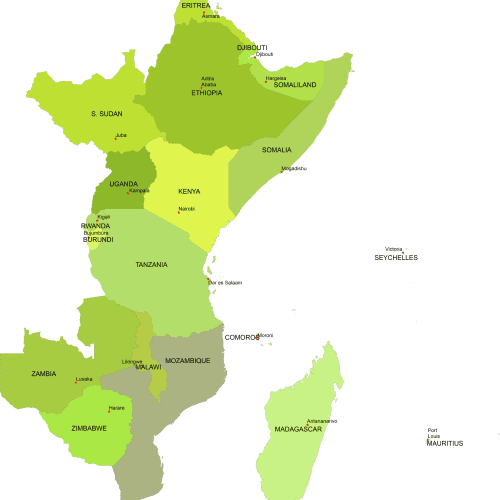
East Africa Digital Map
East Africa Digital Map includes 18 country shapes in different colors with capital names. Adobe Illustrator and Layered PDF format
Price range: 12,00 $ through 15,00 $
Select optionsThis product has multiple variants. The options may be chosen on the product page