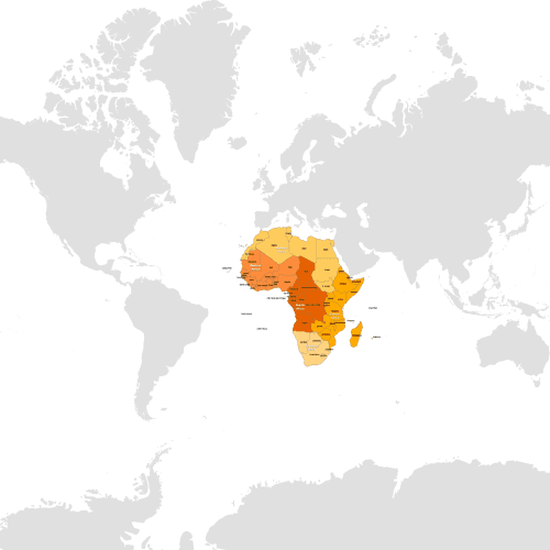
Countries of Africa by Subregions
Countries of Africa by Subregions" map provides a visual representation of the continent. Available in Illustrator and layered PDF formats.
Price range: 10,00 $ through 12,00 $
Select optionsThis product has multiple variants. The options may be chosen on the product page
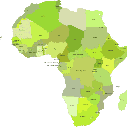
Africa by Country Continent Map
Africa by Country Continent Map of all 54 African nations along with their names.Adobe Illustrator and Layered PDF file.
Price range: 10,00 $ through 12,00 $
Select optionsThis product has multiple variants. The options may be chosen on the product page
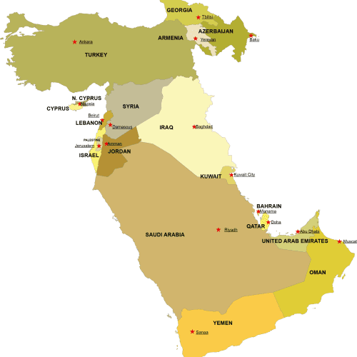
Western Asia Digital Map
Western Asia Digital Map – High-quality vector files in AI & PDF. Instantly downloadable for just $10-$12. Perfect for PowerPoint and & students!
Price range: 10,00 $ through 12,00 $
Select optionsThis product has multiple variants. The options may be chosen on the product page
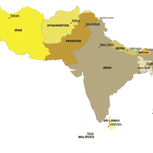
Southern Asia Digital Map
Southern Asia Digital Map – Adobe Illustrator & Layered PDF. Instant download, high-quality vector files. Get yours now for just $10-$12!
Price range: 10,00 $ through 12,00 $
Select optionsThis product has multiple variants. The options may be chosen on the product page
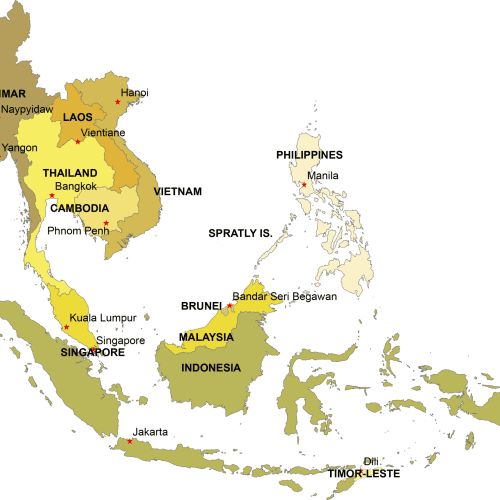
Southeast Asia Digital Map
Southeast Asia Digital Map – Adobe Illustrator & Layered PDF. Instant download, high-quality vector files. Get yours now for just $10-$12!
Price range: 10,00 $ through 12,00 $
Select optionsThis product has multiple variants. The options may be chosen on the product page
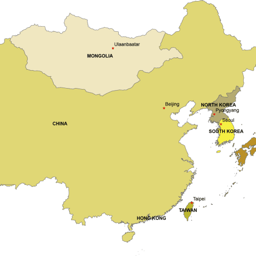
Eastern Asia Digital Map
Eastern Asia Digital Map. 6 countries on separate layers. Instant download files. Adobe Illustrotr (2022) and Layered PDF file
Price range: 10,00 $ through 12,00 $
Select optionsThis product has multiple variants. The options may be chosen on the product page
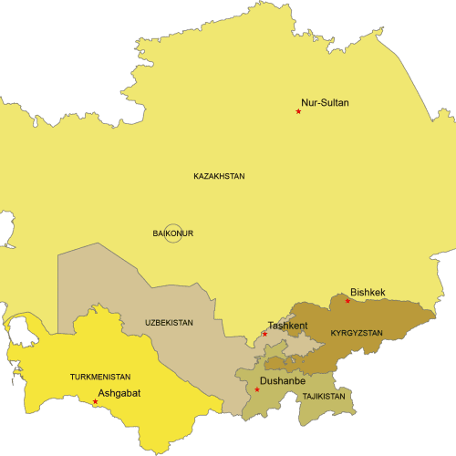
Central Asia Digital Map
Central Asia Digital map. Countries with capitals. Adobe Illustrator and Layered PDF file
Price range: 10,00 $ through 12,00 $
Select optionsThis product has multiple variants. The options may be chosen on the product page
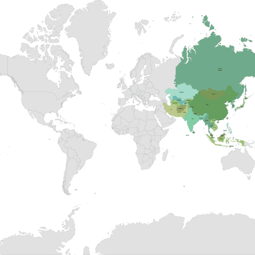
Asia Continent on a Layered World Map
Asia Continent on a Layered World Map. This map showcases the Asia continent with each country on a separate layer for easy customiration.
Price range: 12,00 $ through 15,00 $
Select optionsThis product has multiple variants. The options may be chosen on the product page
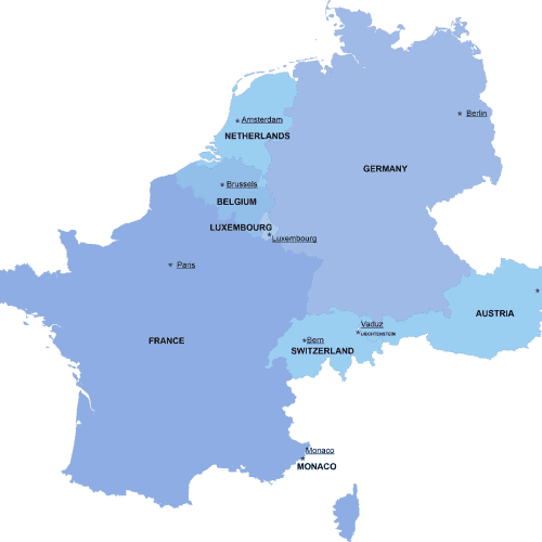
Western-Europe digital map
The Western-Europe digital map showcases the neighborhoods of ten countries in an editable vector format. Instant download available in AI and PDF file types
Price range: 8,00 $ through 10,00 $
Select optionsThis product has multiple variants. The options may be chosen on the product page