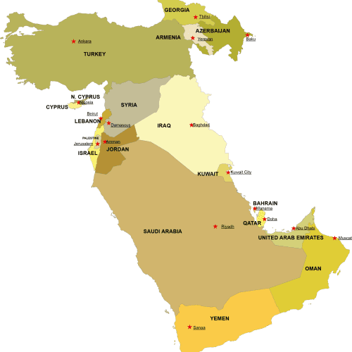
Western Asia Digital Map
Western Asia Digital Map – High-quality vector files in AI & PDF. Instantly downloadable for just $10-$12. Perfect for PowerPoint and & students!
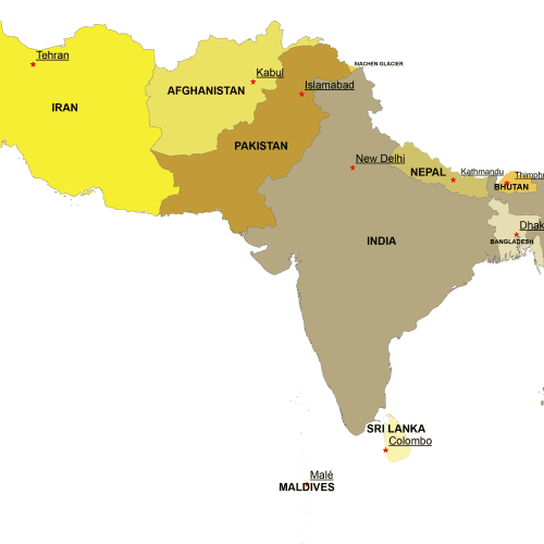
Southern Asia Digital Map
Southern Asia Digital Map – Adobe Illustrator & Layered PDF. Instant download, high-quality vector files. Get yours now for just $10-$12!
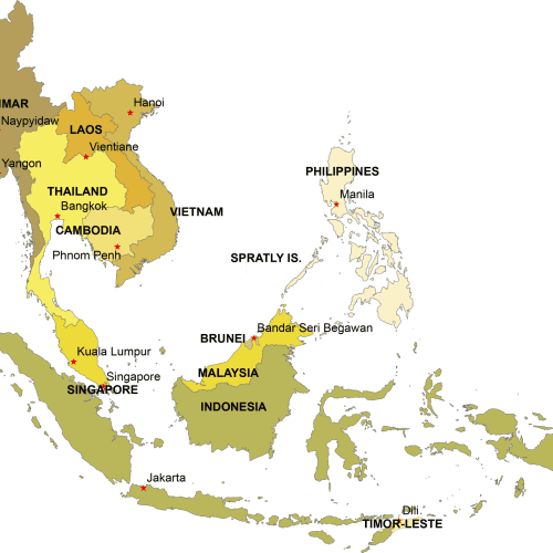
Southeast Asia Digital Map
Southeast Asia Digital Map – Adobe Illustrator & Layered PDF. Instant download, high-quality vector files. Get yours now for just $10-$12!
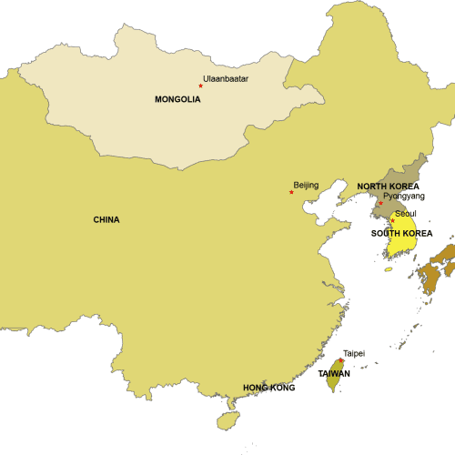
Eastern Asia Digital Map
Eastern Asia Digital Map. 6 countries on separate layers. Instant download files. Adobe Illustrotr (2022) and Layered PDF file
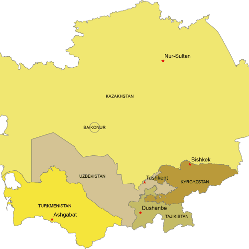
Central Asia Digital Map
Central Asia Digital map. Countries with capitals. Adobe Illustrator and Layered PDF file
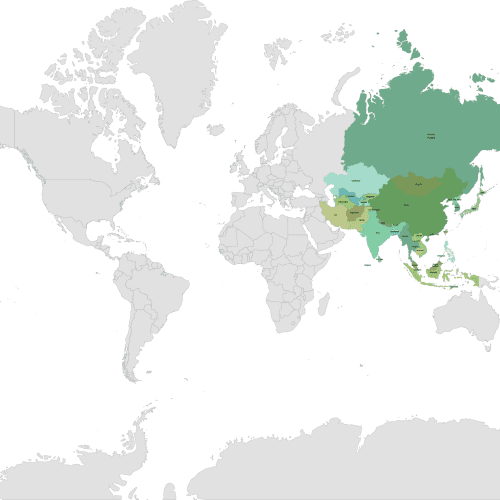
Asia Continent on a Layered World Map
Asia Continent on a Layered World Map. This map showcases the Asia continent with each country on a separate layer for easy customiration.
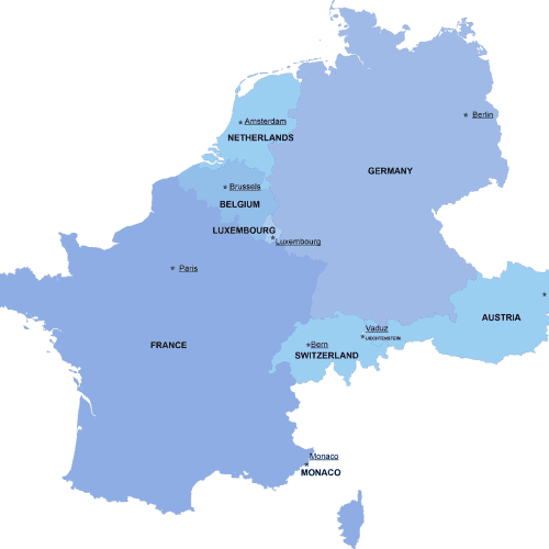
Western-Europe digital map
The Western-Europe digital map showcases the neighborhoods of ten countries in an editable vector format. Instant download available in AI and PDF file types
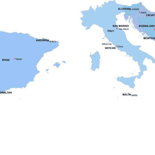
Southern-Europe digital map
The Southern-Europe digital map showcases the neighborhoods of ten countries in an editable vector format. Instant download available in AI and PDF file types
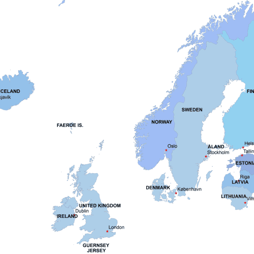
Northern-Europe-digital-map
The Northern-Europe-digital-map showcases the neighborhoods of ten countries in an editable vector format. Instant download available in AI and PDF file types

