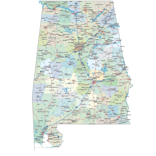
Alabama road and city map
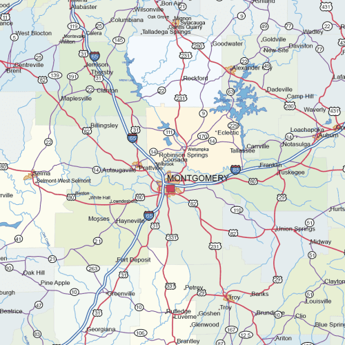
Alabama road and city map displays a wide range of features, including major roads, cities, and larger settlements. Rivers, lakes. AI,PDF.
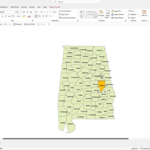
Alabama PowerPoint map
Alabama PowerPoint Map: A file with a PPTX extension. It contains counties and names.
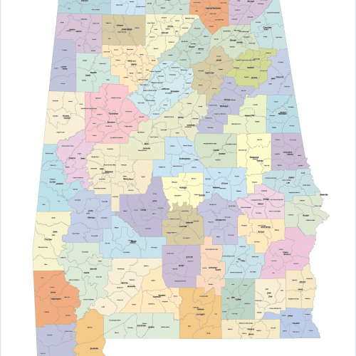
Alabama State Subdivisions Map
The Alabama State Subdivisions Map showcases cities, districts, villages, boroughs, barrios, and townships. Instant download file.
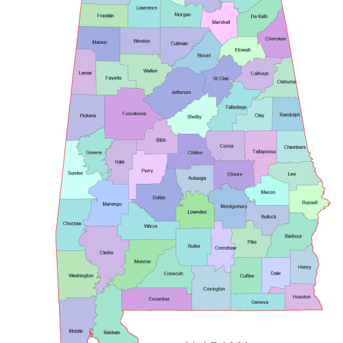
Alabama Colored Vector County Map
Alabama Colored Vector County Map – A high-quality, fully editable vector map of Alabama.AI, and Layered PDF file. Instant download.
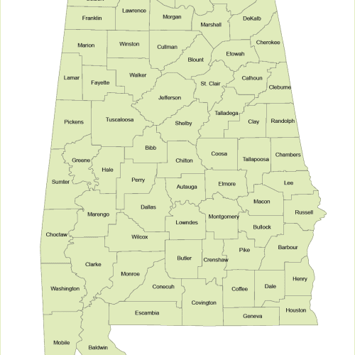
Vector Map of Alabama Counties
The Vector Map of Alabama Counties is a professionally designed Illustrator artwork. The map supports infinite magnification.
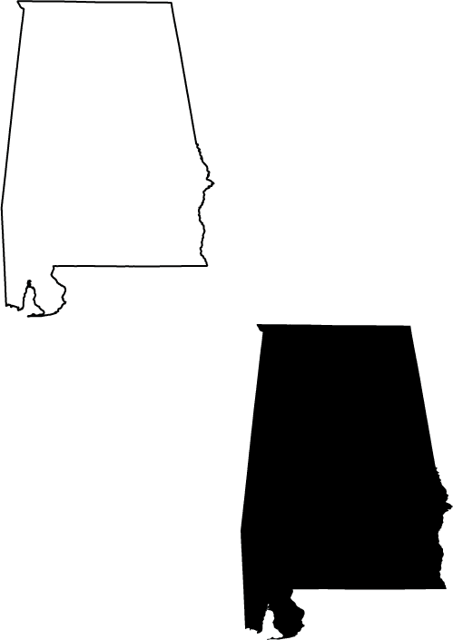
Alabama black silhouette map
Alabama black silhouette map artwork for free.
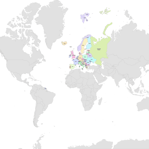
Europe Detailed Map
Europe Detailed Map with colored country shapes. Adobe Illustrator and Layered PDF file.
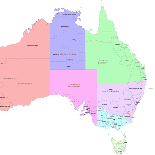
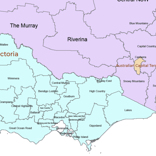
Australia Tourist Regions
Australia Tourist Regions shows by states the well-known districts by state. Adobe Illustrator (2022) file.
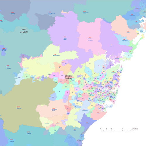
Greater Sydney Postal Code Map
Greater Sydney Postal Code Map Fully editable, Illustrator-compatible AI file.Perfect for logistics, marketing, and geographic analysis.

