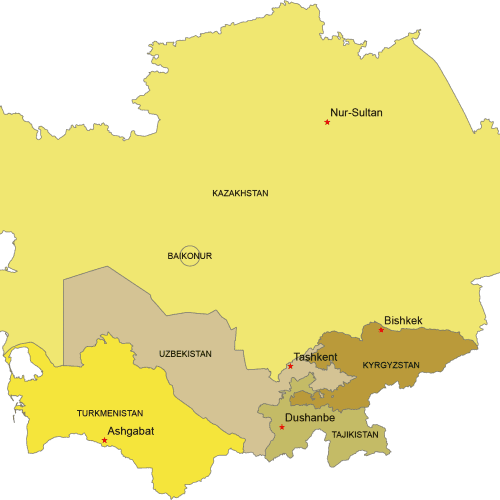
Central Asia Digital Map
Central Asia Digital map. Countries with capitals. Adobe Illustrator and Layered PDF file
Price range: 10,00 $ through 12,00 $
Select optionsThis product has multiple variants. The options may be chosen on the product page
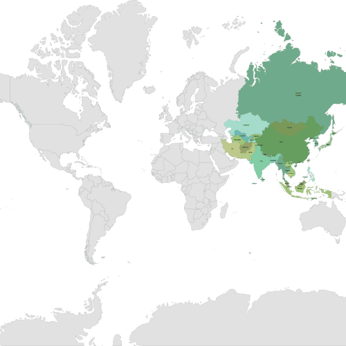
Asia Continent on a Layered World Map
Asia Continent on a Layered World Map. This map showcases the Asia continent with each country on a separate layer for easy customiration.
Price range: 12,00 $ through 15,00 $
Select optionsThis product has multiple variants. The options may be chosen on the product page
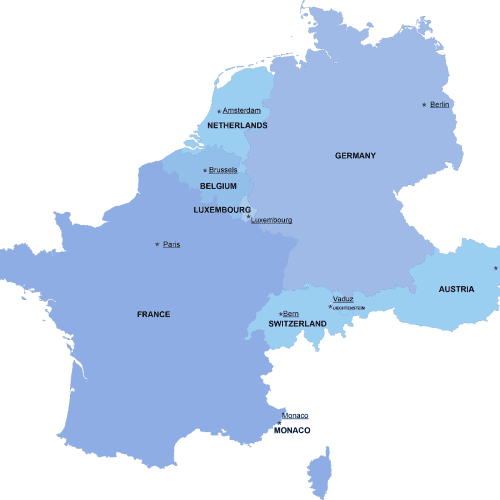
Western-Europe digital map
The Western-Europe digital map showcases the neighborhoods of ten countries in an editable vector format. Instant download available in AI and PDF file types
Price range: 8,00 $ through 10,00 $
Select optionsThis product has multiple variants. The options may be chosen on the product page
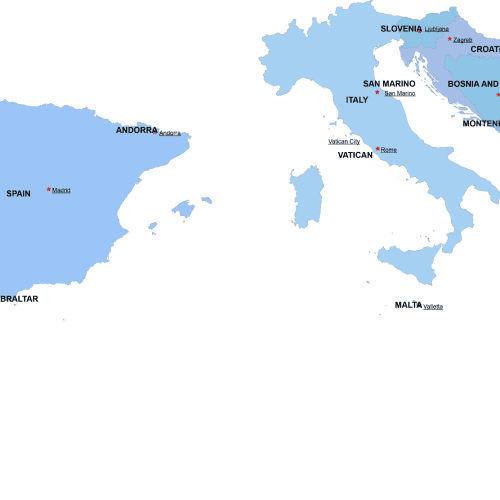
Southern-Europe digital map
The Southern-Europe digital map showcases the neighborhoods of ten countries in an editable vector format. Instant download available in AI and PDF file types
Price range: 8,00 $ through 10,00 $
Select optionsThis product has multiple variants. The options may be chosen on the product page
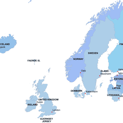
Northern-Europe-digital-map
The Northern-Europe-digital-map showcases the neighborhoods of ten countries in an editable vector format. Instant download available in AI and PDF file types
Price range: 8,00 $ through 10,00 $
Select optionsThis product has multiple variants. The options may be chosen on the product page
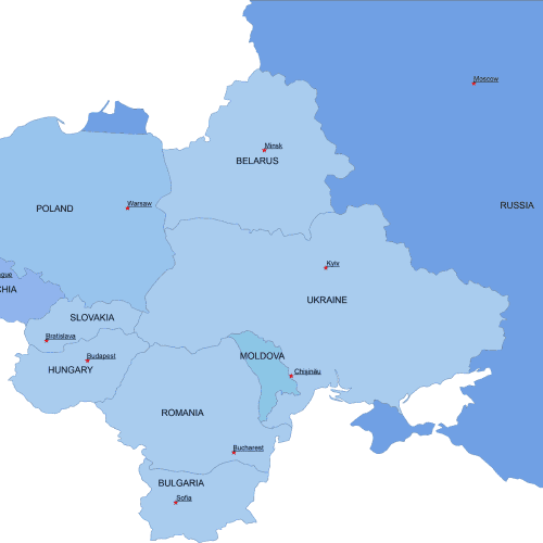
Eastern-Europe-digital-map
The Eastern-Europe-digital-map showcases the neighborhoods of ten countries in an editable vector format. Instant download available in AI and PDF file types
Price range: 8,00 $ through 10,00 $
Select optionsThis product has multiple variants. The options may be chosen on the product page
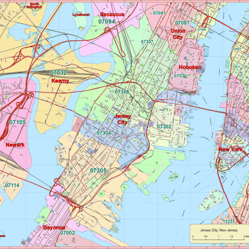
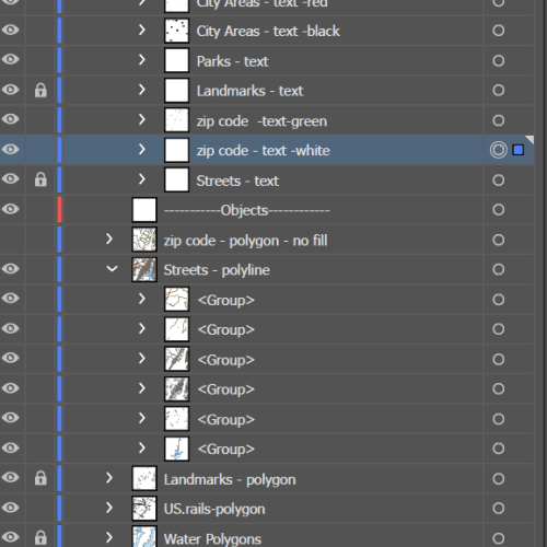
Jersey City Vector Map New Jersey
Jersey City Vector Map New Jersey, covering approximately 55 square miles, includes all roads and ZIP codes. The map features 15 layers.
45,00 $
Add to cart
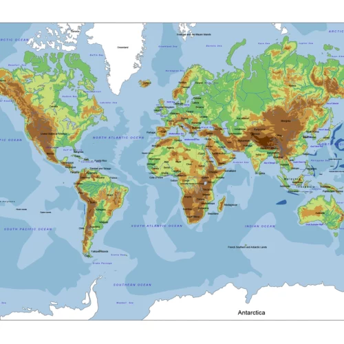
World Relief Vector Map
The World Relief Vector Map defined the height and elevation of the land and water bodies. 13 layers.
Price range: 14,50 $ through 15,00 $
Select optionsThis product has multiple variants. The options may be chosen on the product page
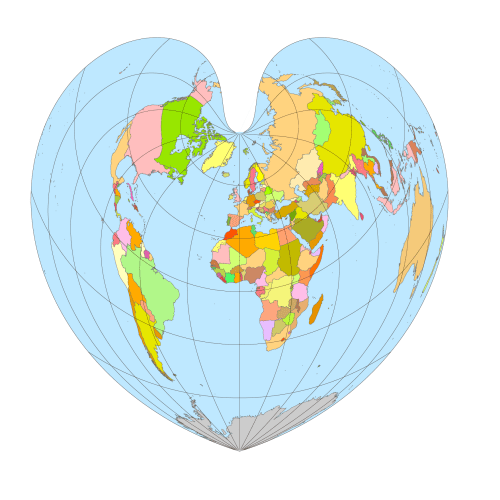
Heart Shaped World Map
Heart Shaped World Map Adobe Illustrator and PDF artwork – as many people know it. It is more than just a design element, it also shows geographical coordinates.
Price range: 14,80 $ through 14,90 $
Select optionsThis product has multiple variants. The options may be chosen on the product page