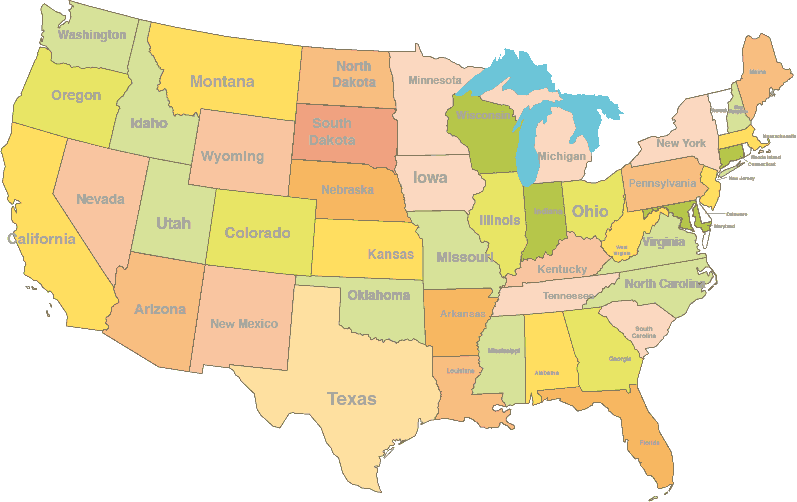
Maps of 50 states, region maps. From contour lines to road network map by states.
The USA, given its continent size, should be drawn by drawing its states one by one. These maps start with the most basic contour line maps and gradually change into maps containing more and more information. The contour line maps are free to download for every state. Then we see the county maps for each state, where the single colors show the names of the counties and a scalbar in miles, just to help us imagine their sizes. Country borders are not only displayed on the continent, but across the lakes as well, (see in the case of Michigan). The 50 US-state maps contain the five digit zip codes; these tables can also be edited one by one.
The detailed US-state maps show the country borders, the counties, rivers, lakes, the names of the rivers and lakes, the towns and the symbols meaning certain towns, the interstate highways, major roads and express ways on a separate layer. Because these are vector-graphic maps they can be modified, painted and resized without loss of resolution. Most US-state maps can be downloaded in Adobe Illustrator (10), PDF and JPG formats.Every US state has links to its neighbor states that can be found easily.