
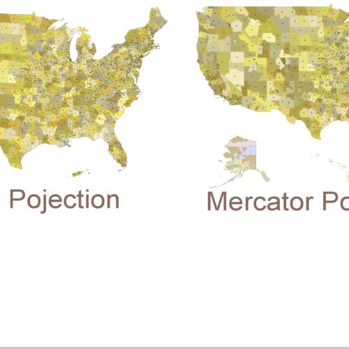
USA 3-Digit ZIP Codes Map with Counties
USA 3-Digit ZIP Codes Map with Counties features 3,144 U.S. counties displayed in the background for added geographic context.
Price range: 24,90 $ through 29,90 $
Select optionsThis product has multiple variants. The options may be chosen on the product page
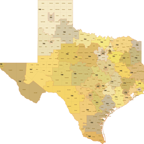
Texas 3-Digit ZIP Code Map with Counties — Vector Map
Editable Texas 3-Digit ZIP Code Map with Counties in high-quality vector format (AI, PDF). Perfect for marketing and territory planning.
Price range: 17,50 $ through 19,90 $
Select optionsThis product has multiple variants. The options may be chosen on the product page
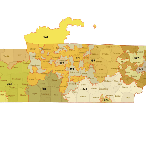
Tennessee 3-Digit ZIP Code Map
Editable Tennessee 3-Digit ZIP Code Map with Counties in high-quality vector format (AI, PDF). Perfect for marketing and territory planning.
Price range: 12,00 $ through 15,00 $
Select optionsThis product has multiple variants. The options may be chosen on the product page
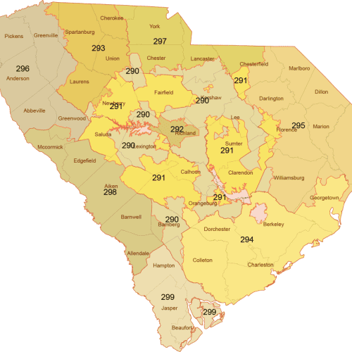
South Carolina 3-Digit ZIP Code Map with Counties — Vector Map
Editable South Carolina 3-Digit ZIP Code Map with Counties in high-quality vector format (AI, PDF). Perfect for marketing and territory planning.
Price range: 12,00 $ through 15,00 $
Select optionsThis product has multiple variants. The options may be chosen on the product page
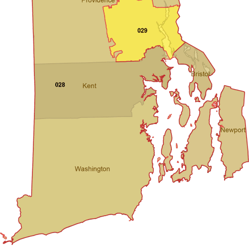
Rhode Island 3-Digit ZIP Code Map with Counties — Vector Map
Editable Rhode Island 3-Digit ZIP Code Map with Counties in high-quality vector format (AI, PDF). Perfect for marketing and territory planning.
Price range: 9,00 $ through 10,00 $
Select optionsThis product has multiple variants. The options may be chosen on the product page
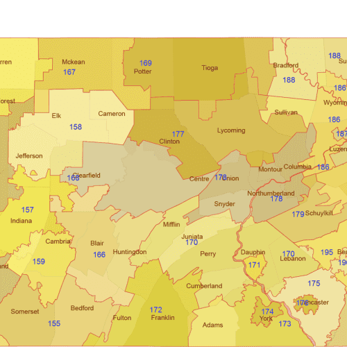
Pennsylvania 3-Digit ZIP Code Map & Counties — Vector Map
Editable Pennsylvania 3-Digit ZIP Code Map with Counties in high-quality vector format (AI, PDF). Perfect for marketing and territory planning.
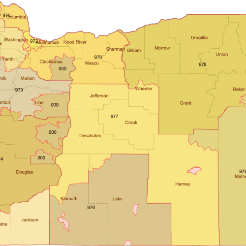
Oregon 3-Digit ZIP Code Map with Counties — Vector Map
Editable Oregon 3-Digit ZIP Code Map with Counties in high-quality vector format (AI, PDF). Perfect for marketing and territory planning.
Price range: 12,00 $ through 15,00 $
Select optionsThis product has multiple variants. The options may be chosen on the product page
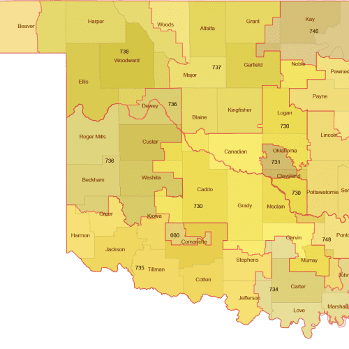
Oklahoma 3-Digit ZIP Code Map with Counties — Vector Map
Editable Oklahoma 3-Digit ZIP Code Map with Counties in high-quality vector format (AI, PDF). Perfect for marketing and territory planning.
Price range: 12,00 $ through 15,00 $
Select optionsThis product has multiple variants. The options may be chosen on the product page
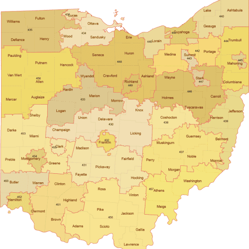
Ohio 3-Digit ZIP Code Map with Counties — Vector Map
Editable Ohio 3-Digit ZIP Code Map with Counties in high-quality vector format (AI, PDF). Perfect for marketing and territory planning.
Price range: 12,00 $ through 15,00 $
Select optionsThis product has multiple variants. The options may be chosen on the product page