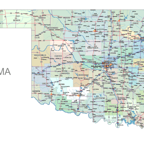
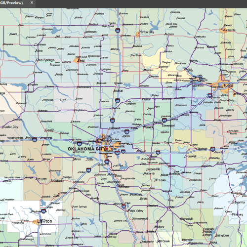
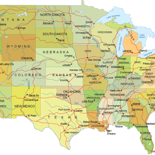
Oklahoma Road and City Map
Oklahoma Road and City Map displays a wide range of features, including major roads, cities, and larger settlements. Rivers, lakes. AI, PDF
Price range: 39,90 $ through 45,00 $
Select optionsThis product has multiple variants. The options may be chosen on the product page
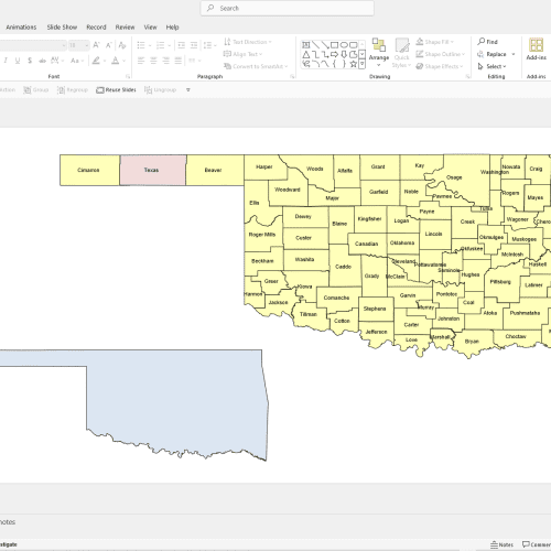
Oklahoma PowerPoint Map
Oklahoma PowerPoint Map A file with a PPTX extension. It contains counties and names.
12,00 $
Add to cart
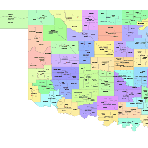
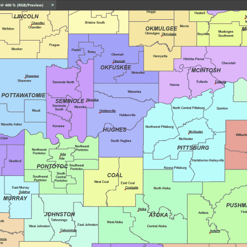
Oklahoma County and Communities Map
The Oklahoma County and Communities Map showcases cities, districts, villages, boroughs, barrios, and townships—instant download file.
Price range: 19,90 $ through 21,90 $
Select optionsThis product has multiple variants. The options may be chosen on the product page
Minimalist US Vector Map
Minimalist US Vector Map Contiguous States with Roads & Capitals. Mercator cut-out map. Illustrator and PDF file.
Price range: 17,90 $ through 19,90 $
Select optionsThis product has multiple variants. The options may be chosen on the product page
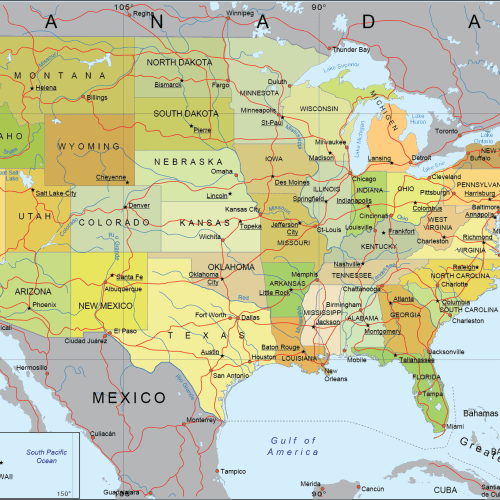
Detailed US Mercator Map
Detailed US Mercator Map Covers adjacent regions: Canada (with provinces), Mexico, major oceans, and key natural landmarks
Price range: 17,90 $ through 19,90 $
Select optionsThis product has multiple variants. The options may be chosen on the product page
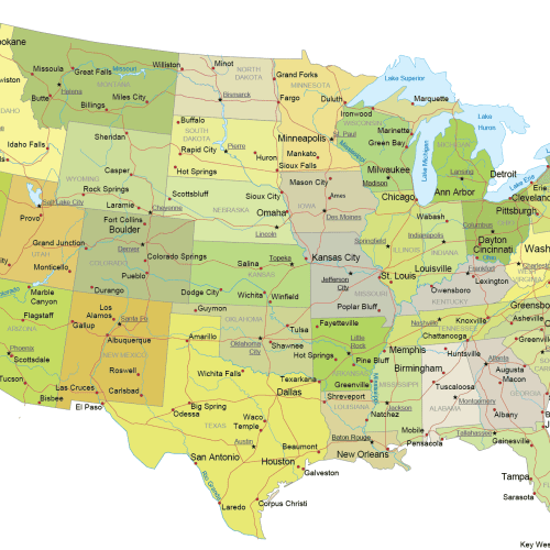
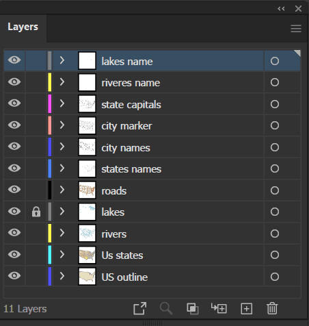
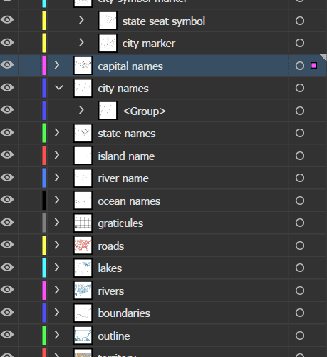
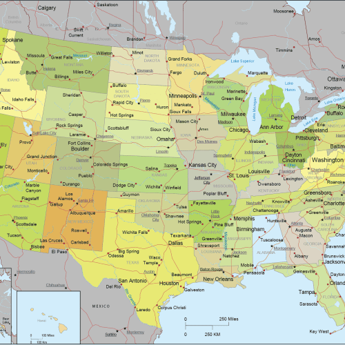
Internal US Map with Roads and Capitals
Internal US Map with Roads and Capitals. State capitals and major cities are precisely placed for easy identification—Adobe Illustrator file.
Price range: 17,90 $ through 19,90 $
Select optionsThis product has multiple variants. The options may be chosen on the product page
Detailed US Vector Map – Atlas Style
Detailed US Vector Map – Atlas Style Albers AE, The Pancake Map, Conic Classic, Illustrator USA Map
Price range: 23,90 $ through 24,90 $
Select optionsThis product has multiple variants. The options may be chosen on the product page
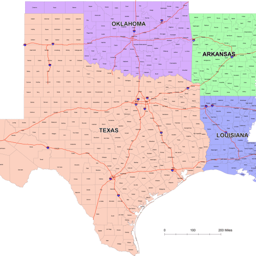
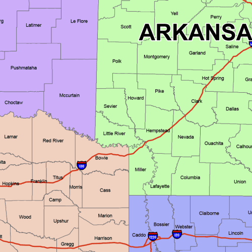
West South Central County Map
West South Central County Map
Price range: 24,90 $ through 29,90 $
Select optionsThis product has multiple variants. The options may be chosen on the product page
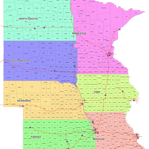
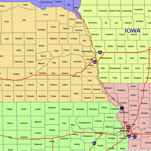
West North Central County Map
West North Central County Map: 7 state maps with county names. This is a fully editable, layered AI and PDF file—instant download.
Price range: 34,90 $ through 39,90 $
Select optionsThis product has multiple variants. The options may be chosen on the product page