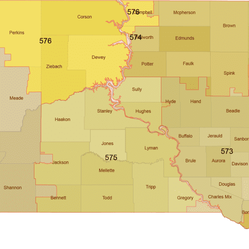
South Dakota 3-Digit ZIP Code Map with Counties — Vector Map
Editable South Dakota 3-Digit ZIP Code Map with Counties in high-quality vector format (AI, PDF). Perfect for marketing and territory planning.
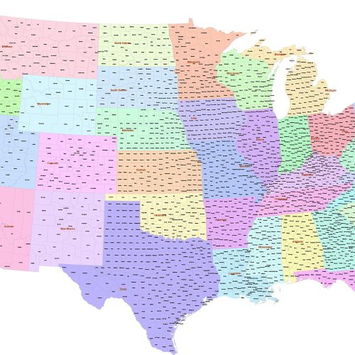
County map of Contiguous US
County map of Contiguous US refers to the 48 adjoining states. 3.002 counties and parishes colored by states. The map has the Albert Equal projection
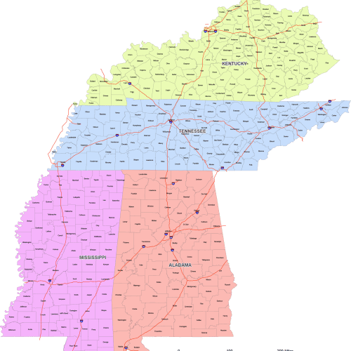
East South Central Region Map
East South Central Region map is designed using the East South Central County Map—perfect for accurate, proportional mapping of the U.S.
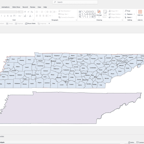
Tennessee PowerPoint Map
Tennessee PowerPoint Map: A file with a PPTX extension. It contains counties and names.
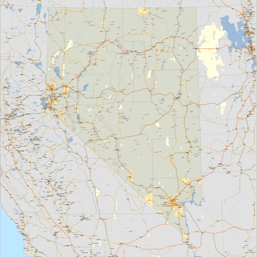
Nevada and Surrounding States
Nevada and Surrounding States, covering portions of California, Utah, Arizona, Idaho, and Oregon.
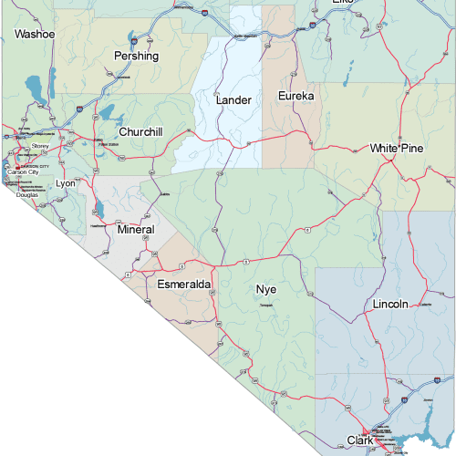
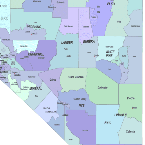
Detailed Nevada Map
Explore Detailed Nevada map with precision using this professionally crafted, high-resolution map set available in both Adobe Illustrator and layered PDF formats.
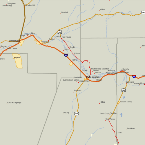
Nevada Road and City Map
The Nevada Road and City Map displays a wide range of features, including major roads, cities, and larger settlements. Rivers, lakes. AI, PDF.
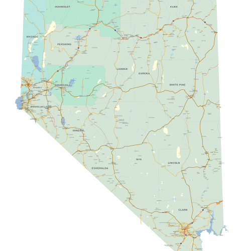
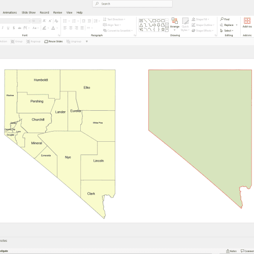
Nevada PowerPoint County Map
Nevada PowerPoint County Map: A file with a PPTX extension. It contains counties and names. Intuitive design makes it easy to create and edit slides.
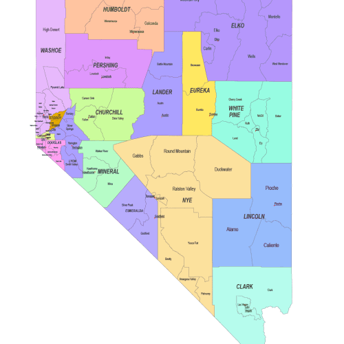
Nevada County and Communities Map
The Nevada County and Communities Map showcases cities, districts, villages, boroughs, barrios, and townships. Instant download file.
Comprehensive Maps of the United States – From Simple to Detailed
Explore an extensive collection of U.S. maps, ranging from basic contour maps to detailed, multi-layered vector maps. Whether you need a simple state outline, county-level divisions, or fully detailed road and city maps, this collection offers the perfect solution for every need.
📌 Available Map Categories:
✔ Contourline Maps – Clean, simple outlines for unlimited design possibilities. (Free download!)
✔ Monochrome County Maps – County boundaries labeled for clarity.
✔ Colored County Maps – Counties distinguished by color for enhanced readability.
✔ Communities Maps – County subdivisions highlighted, including county seats.
✔ PowerPoint-Ready Maps – Instantly usable in PPTX format for presentations.
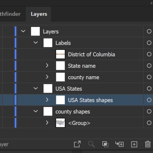
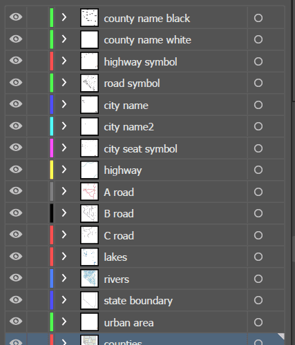
✔ Road & City Maps – The most detailed maps, featuring major roads, cities, rivers, and more, with up to 12 layers.
🖌 Format & Accessibility:
- Professionally designed in Adobe Illustrator (2022)
- File Types: AI & Layered PDF
- Instant Download – Get your files immediately after payment—no waiting!
Whether for education, business, research, or design, find the perfect U.S. map for your project and start creating today!

