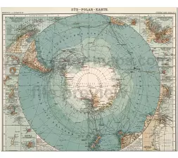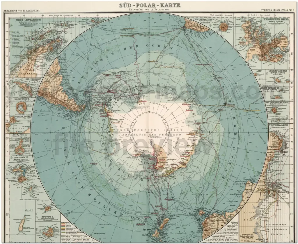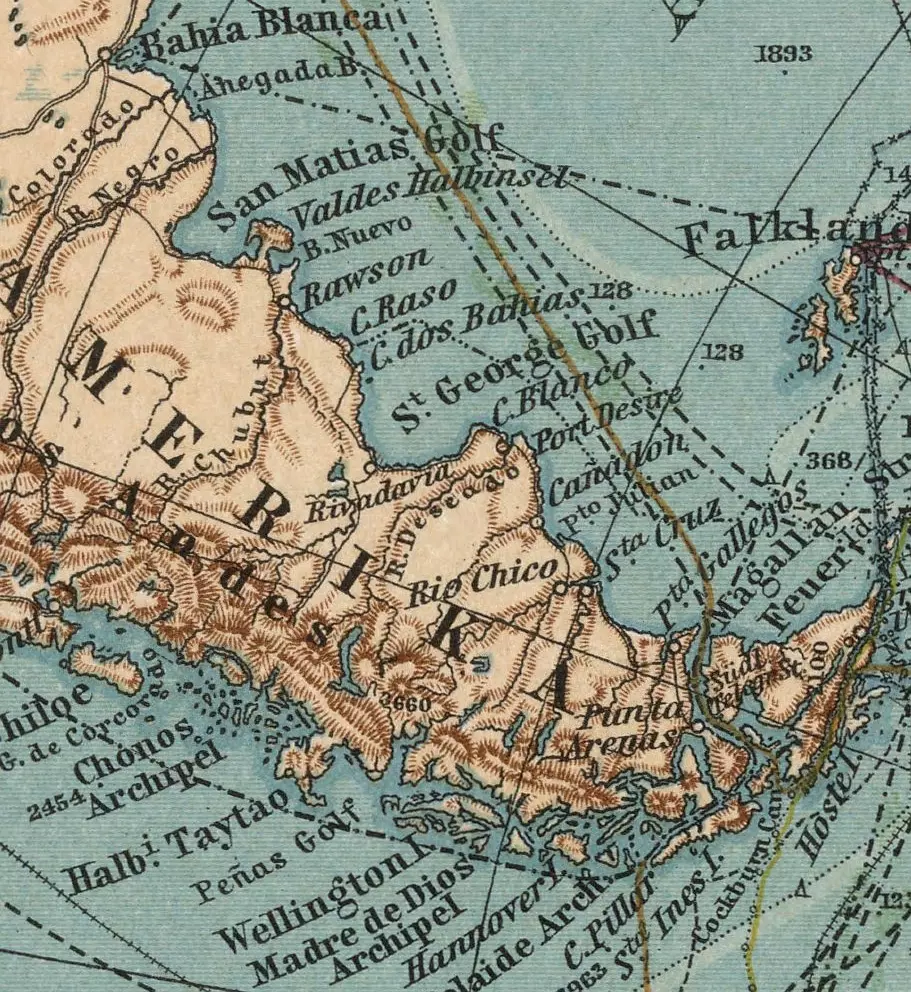
South Pole map 1911 – from Stieler’ Hand Atlas. German-language map Süd Polar Karte. World area: Antarctica
File type and dimension
Dimension: 9152x7761px at 72 ppi
File size: 42 MB JPG
Detailed, colored, with 14 map inset.
Map Insets
West Antarktis, Süd Georgien, Deception Inseln, Moltke Hafen, Auckland Inseln, Chatman Inseln, Bouvet Inseln, Macquarie Inseln, Campbell Inseln, Victoria Land, Neu Amsterdam & St.Paul, Prinz Eduard Inseln, Grozet Inseln, Kergulen Inseln


Other Globe maps
20 Globes from Space Africa continent map America continent map Asia continent map Europe continent map
