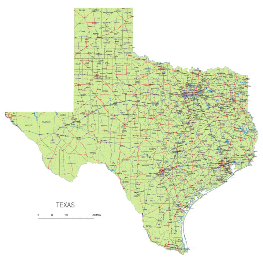
Texas State vector road map.

Texas State vector road map.

Texas state vector road map

File formats
An overview map of the state of Texas is available in illustrator standard file format as PDF and Illustrator CS5.
The map was created using the database of the US. Based on Census Bureau database.

Displayed map elements
The main roads, highways and state roads, the numbering of the roads, the names of the most important settlements, about 200 names, the border lines of the counties, the most important rivers and lakes.

A map of Texas includes interstates,
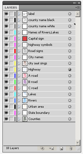
highway-layers

Layers

_county name black of state Texas
_country name white of state Texas
_names of rivers, lakes of state Texas
_capital sign of state Texas
_highway symbols of state Texas
_road singns state Texas
_city names of state Texas
_highway – lines of state Texas
_A road lines of state Texas
_B road lines of state Texas
_C road lines of state Texas
_lakes of state Texas
_rivers of state Texas
_urban areas of state Texas
_state border os state Texas
_counties of state  Texas

texas_state_vector_road_map

Texas Highways, State Roads, Rivers, Main Cities, Locations, Counties.printable Map.

Top