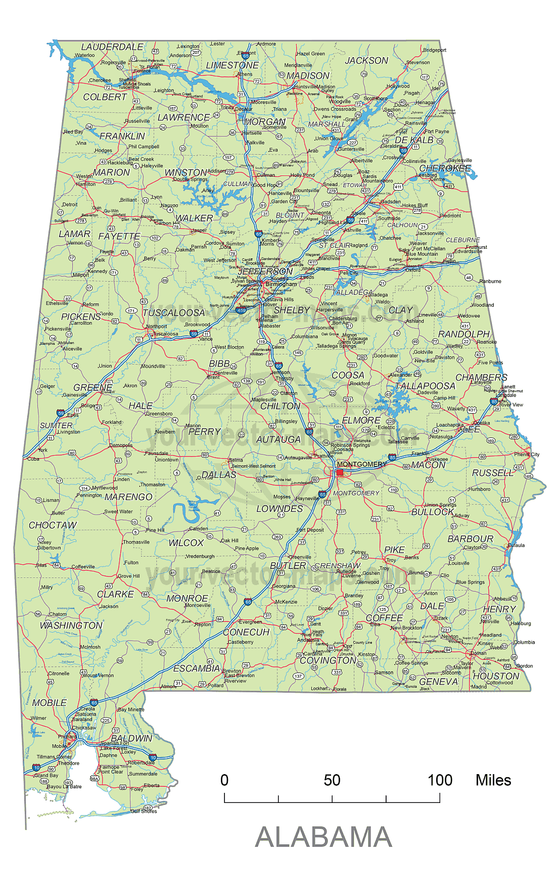

Alabama Road Vector Map
Metro Areas:
Albertville Area, Anniston Area, Auburn Area, Birmingham Area, Columbus Area, Cullman Area, Daphne Area, Decatur Area, Dothan Area, Enterprise Area, Florence Area, Gadsden Area, Huntsville Area, Mobile Area, Montgomery Area, Ozark Area, Scottsboro Area, Selma Area, Talladega Area, Troy Area, Tuscaloosa Area, Valley Area
Major Cities:
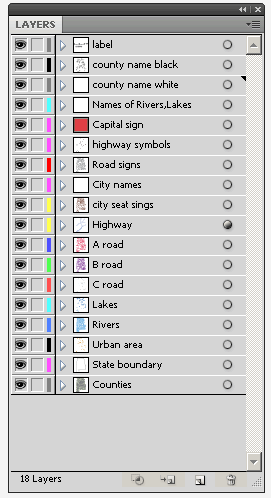
_county name black of state Alabama
_country name white of state Alabama
_names of rivers, lakes of state Alabama
_capital sign of state Alabama
_highway symbols of state Alabama
_road singns state Alabama
_city names of state Alabama
_highway – lines of state Alabama
_A road lines of state Alabama
_B road lines of state Alabama
_C road lines of state Alabama
_lakes of state Alabama
_rivers of state Alabama
_urban areas of state Alabama
_state border os state Alabama
_counties of state Alabama
Alabama Interstates on map:
North-South interstates include: Interstate 59, Interstate 65 and Interstate 85. East-West interstates include: Interstate 10 and Interstate 20.
US Highways and State Routes include: Route 11, Route 29, Route 31, Route 43, Route 45, Route 72, Route 72A, Route 78, Route 80, Route 82, Route 84, Route 98, Route 231, Route 278, Route 280, Route 331, Route 411 and Route 431.
Alabama Interstates on map:
North-South interstates include: Interstate 59, Interstate 65 and Interstate 85. East-West interstates include: Interstate 10 and Interstate 20.
Alabama Routes on map:
US Highways and State Routes include: Route 11, Route 29, Route 31, Route 43, Route 45, Route 72, Route 72A, Route 78, Route 80, Route 82, Route 84, Route 98, Route 231, Route 278, Route 280, Route 331, Route 411 and Route 431.
Other Alabama map:Alabama 5 digit zip code vector map

