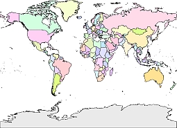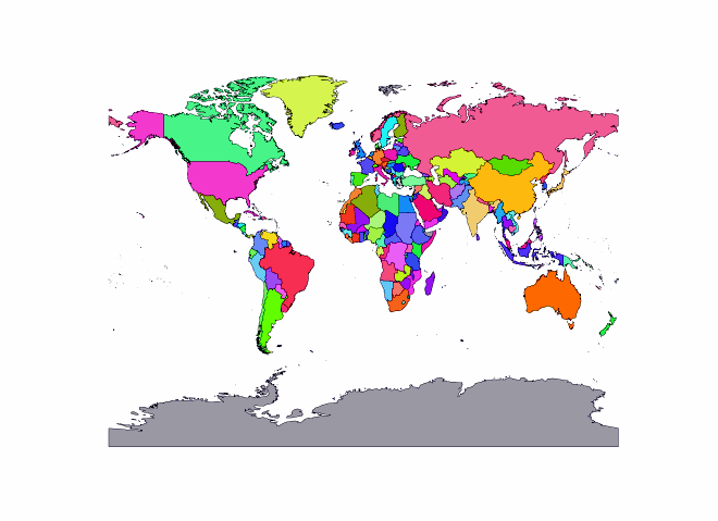
Colored world map without graticules. Colored vector map of Earth
Colored vector map of Earth .PDF, EPS, JPG, SVG, WMF, AI format (see download link)
Free grant for any purpose
Description
Gall’s stereographic was designed around 1855. It is a cylindrical projection with two standard parallels at latitudes 45° N and S.
Projection method
A cylindrical stereographic projection based on two standard parallels at 45° N and S. Poles are straight lines
Linear graticules
All meridians and parallels.
Properties
Shape
Shapes are true at latitudes 45° N and S. Distortion slowly increases away from these latitudes and becomes severe at the poles.
Area
Area is true at latitudes 45° N and S. Distortion slowly increases away from these latitudes and becomes severe at the poles.
The Gall stereographic projection, presented by James Gall in 1855, is a cylindrical projection. It is neither equal-area nor conformal but instead tries to balance the distortion inherent in any projection.
Show some love… for your free map
World. Colored Gall projection with graticules.Jpg 300 dpi

