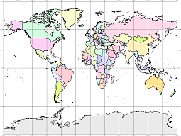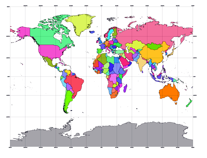
Latitude-longitude grid at interval 30 degrees
Colored gall world vector map. PDF, EPS, JPG, SVG, WMF, AI format (see download link) It is a cylindrical projection with two standard parallels at latitudes 45° N and S. The globe is projected perspectively onto a secant cylinder from the point on the equator opposite a given meridian. Meridians are equally spaced straight lines. Parallels are straight lines with spacing increasing away from the equator. Poles are straight lines.
Show some love… for your free map
Colored gall world vector map

