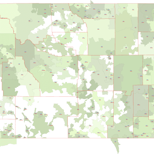
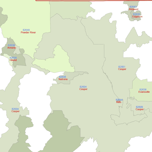
Wyoming ZIP Codes With Primary Cities
Wyoming ZIP Codes With Primary Cities Perfect for presentations, marketing materials, requiring geographic context and key city information
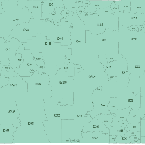
Wyoming ZIP Code Map Basic
Wyoming ZIP Code Map Basic Ideal for basic reference, territory planning, and applications where simplicity is key.
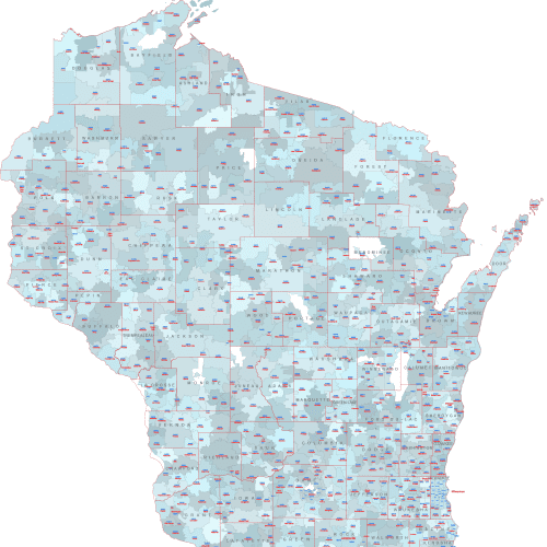
WI ZIP Codes with Cities and Counties
WI ZIP Codes with Cities and Counties vector map allowing for easy manipulation and selective visibility of map elements.
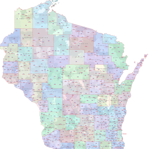
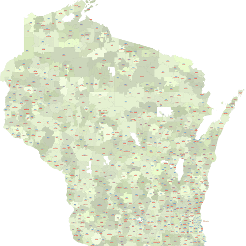
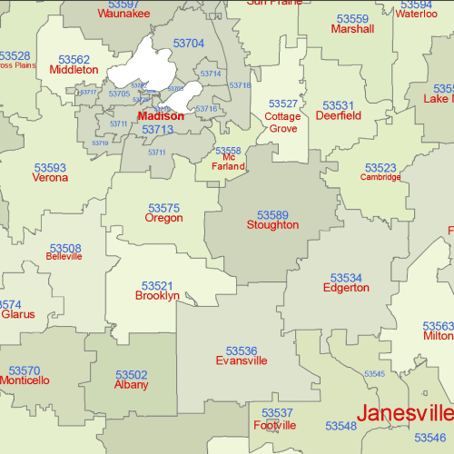
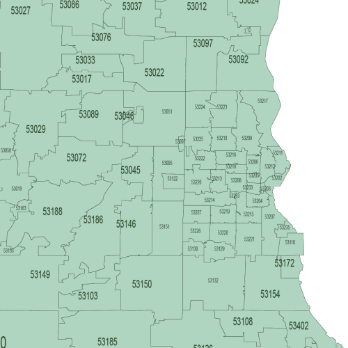
Wisconsin Zip Codes Map With Cities
Wisconsin Zip Codes Map With Cities where each zip code area is uniquely colored for easy differentiation.
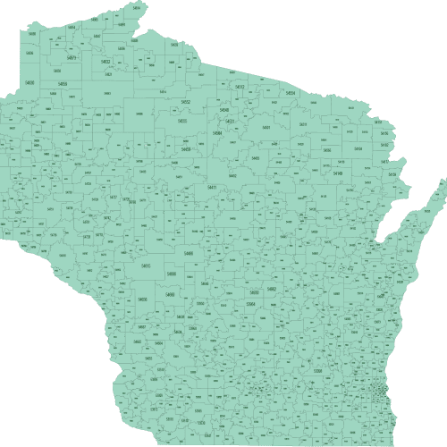
Wisconsin State ZIP Code Map Basic
Wisconsin State ZIP Code Map Basic is Available in both Adobe Illustrator (AI, 2022) and Layered PDF formats.
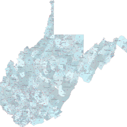
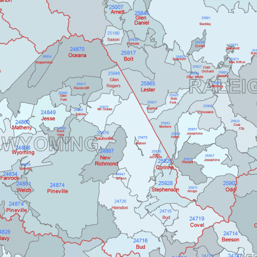
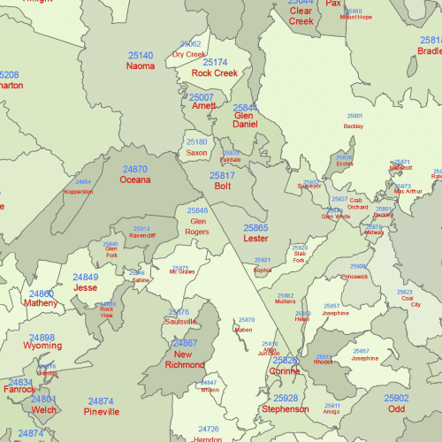
WV ZIP Codes With Cities Counties
WV ZIP Codes With Cities Counties Overlays, accurate county borders, clearly distinguishing each of West Virginia's counties.
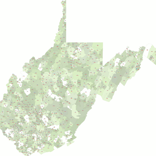
West Virginia ZIP Codes With Cities
West Virginia ZIP Codes With Cities Includes the 5-digit zip code number clearly displayed within its corresponding shape
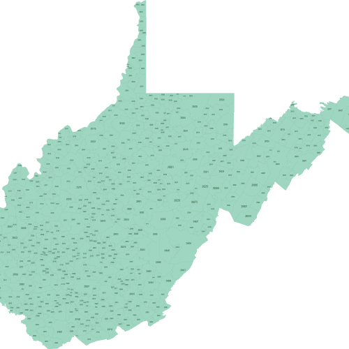
West Virginia ZIP Code Map Basic
West Virginia ZIP Code Map Basic. Ideal for basic reference, territory planning, and applications where simplicity is key.
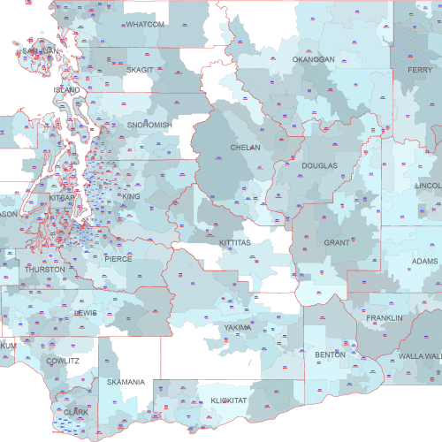
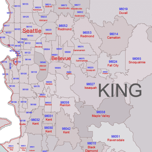
WA ZIP Code Map With Cities Counties
WA ZIP Code Map With Cities Counties Our maps are available in two convenient vector formats: Adobe Illustrator (2022) and Layered PDF

