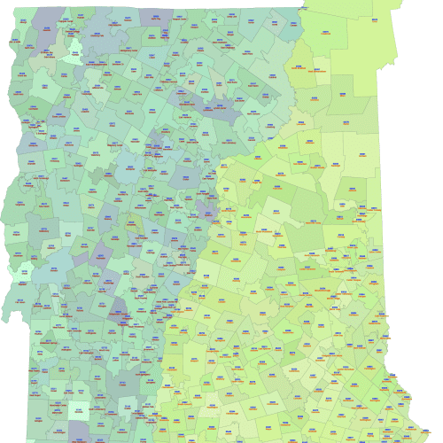
NH and VT ZIP Codes Map with Cities
NH and VT ZIP Codes Map with Cities Fully scalable without loss of quality, perfect for print and digital use.
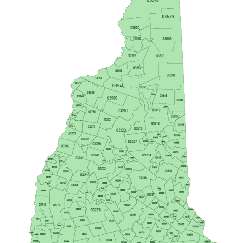
New Hampshire ZIP Code Map Basic
New Hampshire ZIP Code Map Basic: A fully layered vector file, enabling seamless scaling without any loss of quality.
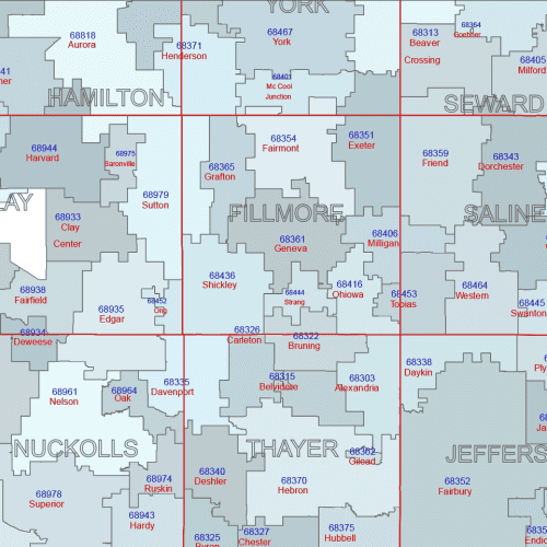
NE-ZIP Code Map With Cities Counties
NE-ZIP Code Map With Cities Counties Only ZIPs with defined land area are included, based on U.S. Census data.
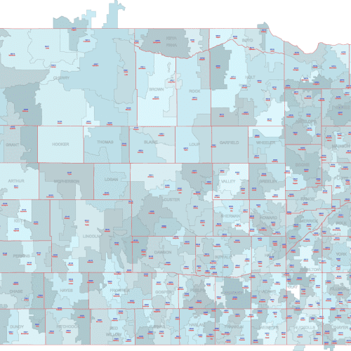
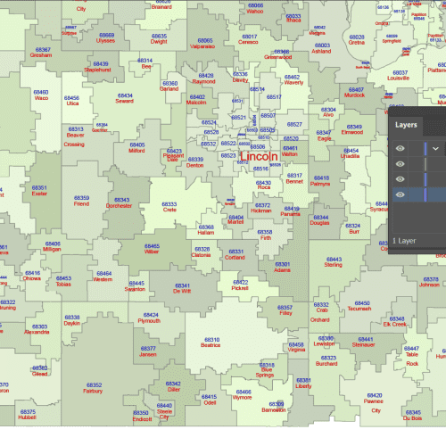
Nebraska ZIP Code Map With Cities
Nebraska ZIP Code Map With Cities Available in both Adobe Illustrator (AI, 2022) and Layered PDF formats.
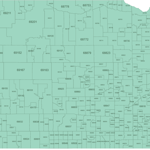
Nebraska ZIP Code Map Basic
Nebraska ZIP Code Map Basic is Available in both Adobe Illustrator (AI, 2022) and Layered PDF formats.
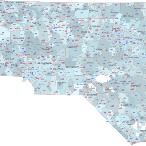
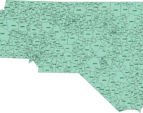
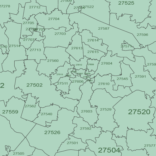
NC ZIP Code Map With Cities Counties
NC ZIP Code Map With Cities Counties
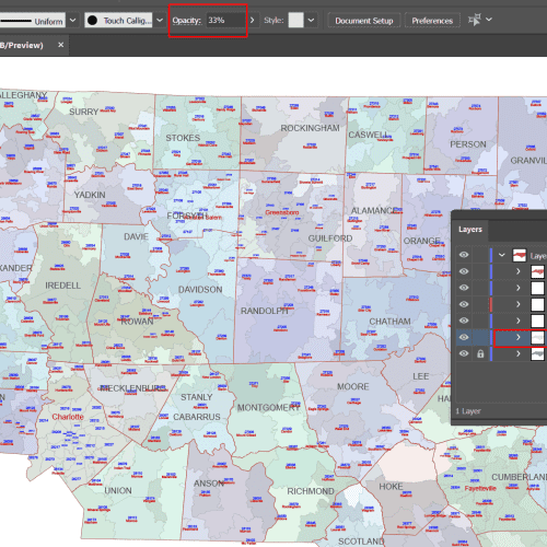
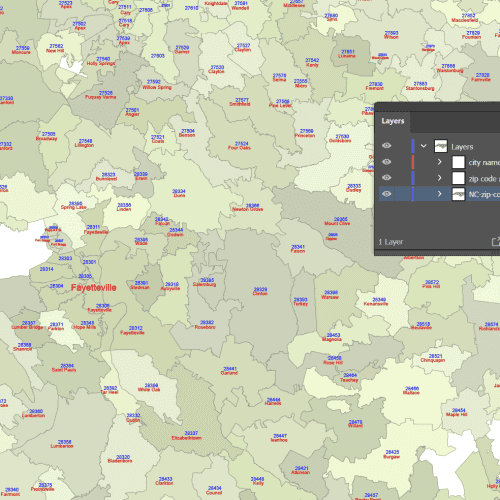
NC ZIP Code Map With Cities
NC ZIP Code Map With Cities data-driven (with cities) 5-digit vector map
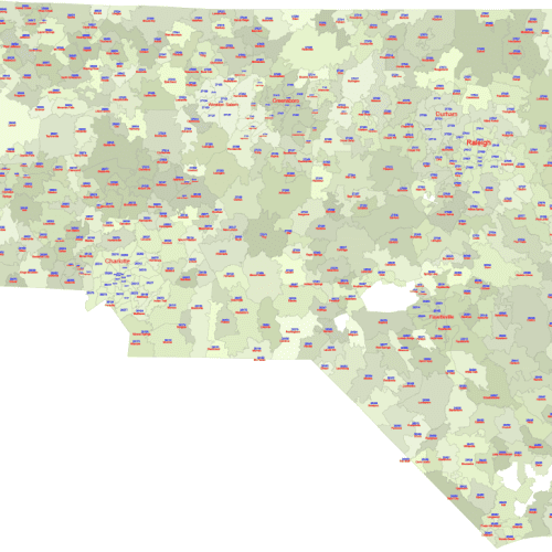
North Carolina ZIP Code Map Basic
North Carolina ZIP Code Map Basic Adobe Illustrator (.ai): A fully layered vector file, enabling seamless scaling without any loss of quality.
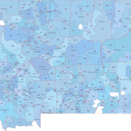
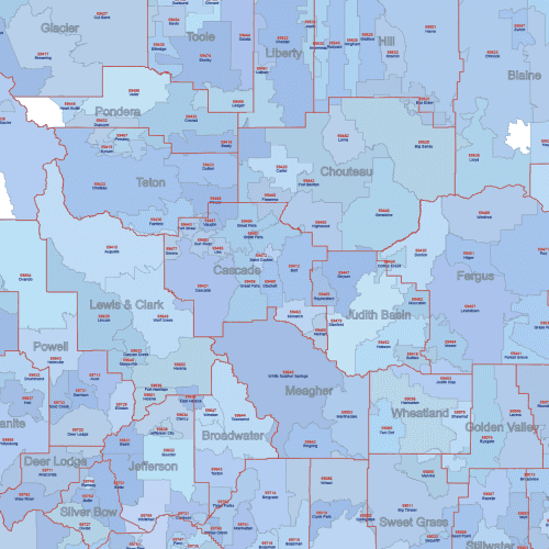
MT ZIP Code Map With Cities Counties
MT ZIP Code Map With Cities Counties

