Utah Vector County Map
8,00 $ – 10,00 $Price range: 8,00 $ through 10,00 $
AI customizable styling, scalabilityPDF cross-platform compatibility
- Description
- Reviews (0)
Description
Utah Monochrome Vector Map of Counties
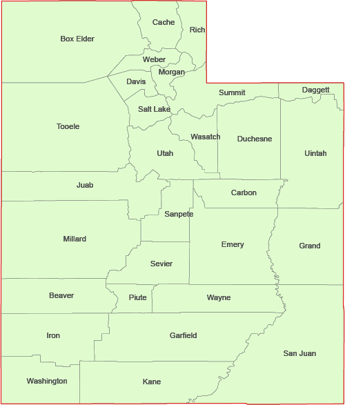
The Utah Vector County Map is a professionally crafted Illustrator artwork where each county is a fully editable, individual field. All county names are included for easy identification. Presented in a clean, monochrome style, every county can be customized, recolored, highlighted, or modified as needed.
The high-quality vector format supports infinite magnification without any loss of detail, making it ideal for print projects, digital presentations, and large displays. Whether you’re designing marketing materials, conducting regional analysis, or creating educational visuals, this map offers the flexibility and precision you need.
In addition to the Adobe Illustrator (2022) file, the map is available as a layered PDF for broader compatibility—file size: 162 KB.
Counties on the map
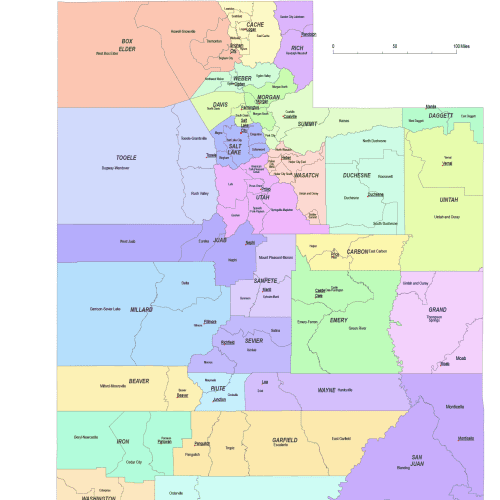
Beaver, Box Elder, Cache, Carbon, Daggett, Davis, Duchesne, Emery, Garfield, Grand, Iron, Juab, Kane, Millard, Morgan, Piute, Rich, Salt Lake, San Juan, Sanpete, Sevier, Summit, Tooele, Uintah, Utah, Wasatch, Washington, Wayne, Weber
Included Map Layers:
County names
County shapes
County borderlines



Reviews
There are no reviews yet.