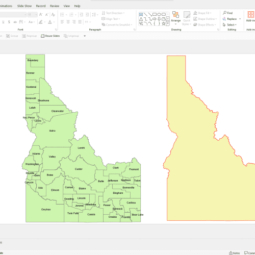
Iowa County PowerPoint Map
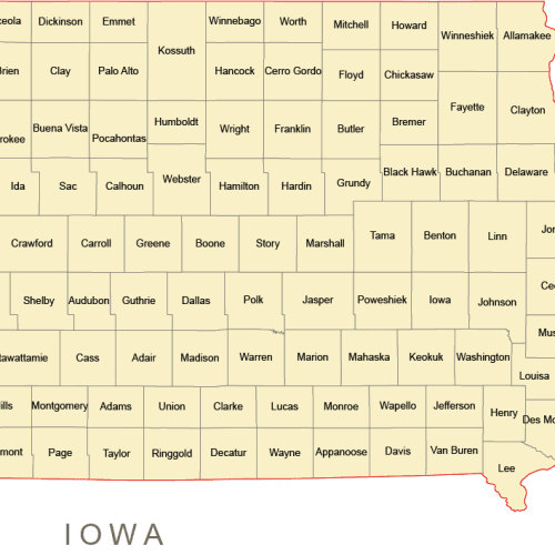
Iowa County PowerPoint Map: A file with a PPTX extension. It contains counties and names.
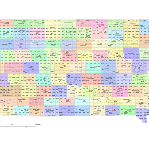
Iowa County and Communities Map
Iowa County and Communities Map. It includes all counties and subcounties, with names clearly labeled
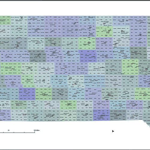
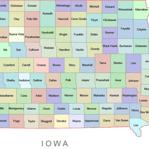
Iowa Colored County Map
Iowa Colored County Map: A high-quality, fully editable vector map of Iowa, AI, and a Layered PDF file. Instant download.
Iowa County Vector Map
Iowa County Vector Map is a professionally designed Illustrator artwork. The map supports infinite magnification.
Iowa Free Cut Out Map
Iowa Free Cut Out Map Download Illustrator, Download PDF
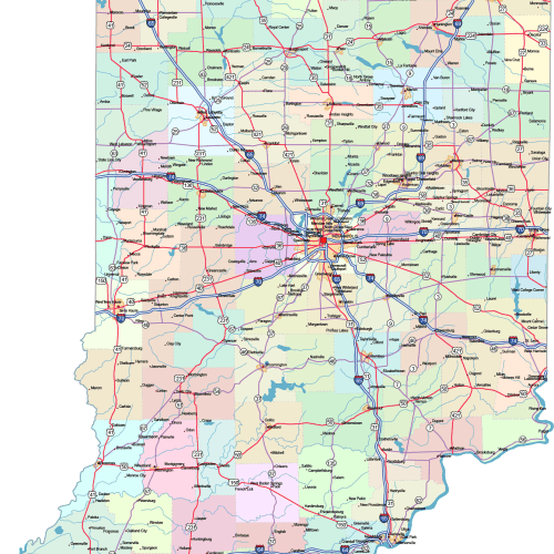
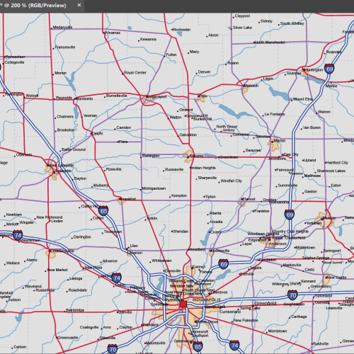
Indiana Road and City Map
The Indiana Road and City Map displays a wide range of features, including major roads, cities, and larger settlements. Rivers, lakes. AI, PDF.
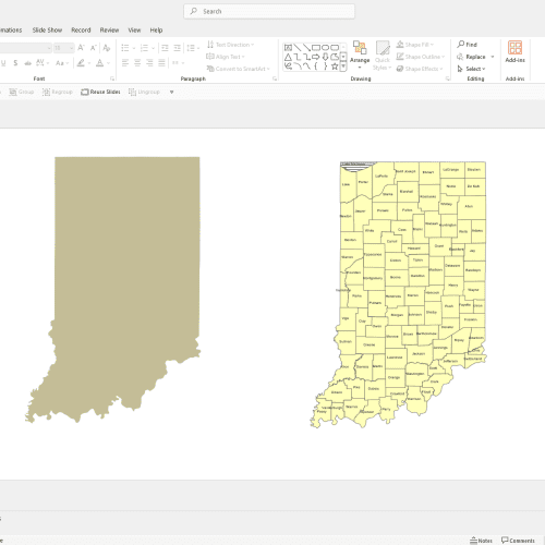
Indiana County Powerpoint Map
Indiana County PowerPoint Map: A file with a PPTX extension. It contains counties and names.
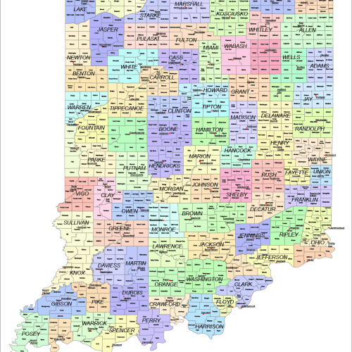
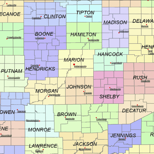
Indiana County and Communities Map
Indiana County and Communities Map showcases cities, districts, villages, boroughs, barrios, and townships. Instant download file.
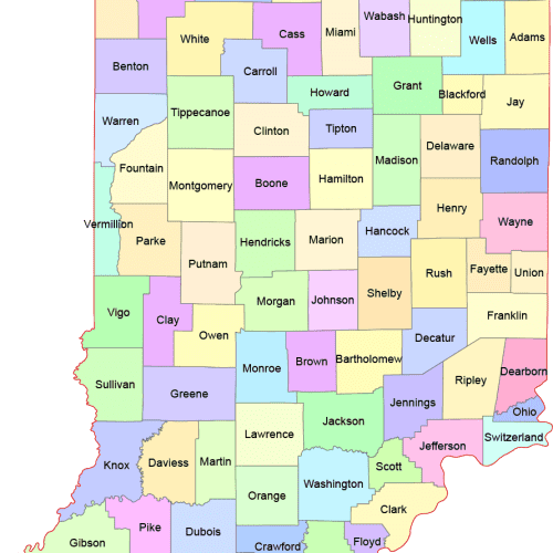
Indiana Colored County Map
Indiana Colored County Map A high-quality, fully editable vector map of Indiana. AI and a Layered PDF file. Instant download.

