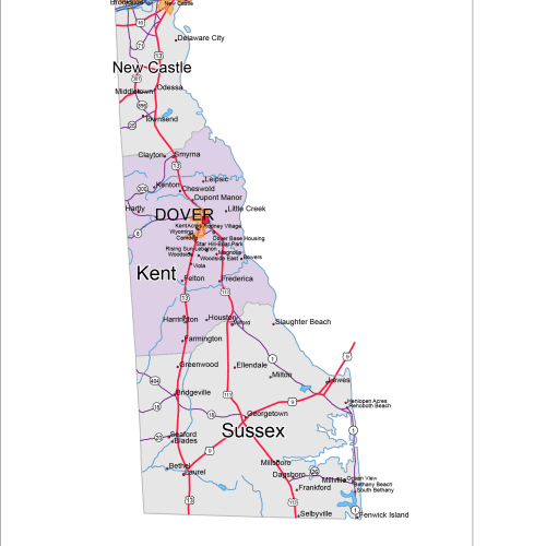
Delaware Road and City Map
The Delaware Road and City Map displays a wide range of features, including major roads, cities, and larger settlements. Rivers, lakes. AI, PDF
Price range: 12,00 $ through 15,00 $
Select optionsThis product has multiple variants. The options may be chosen on the product page
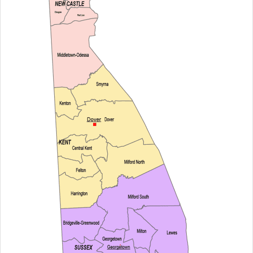
Delaware County and Communities Map
The Delaware County and Communities Map showcases cities, districts, villages, boroughs, barrios, and townships. Instant download file.
Price range: 12,00 $ through 15,00 $
Select optionsThis product has multiple variants. The options may be chosen on the product page
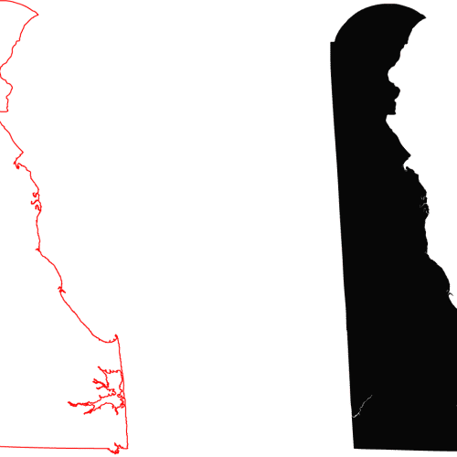
Delaware Free Contour Line Map
Delaware Free Contour Line Map. Download without registration.