
Related Products
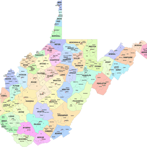
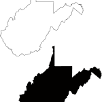
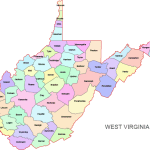
West Virginia Communities Map
Price range: 19,90 $ through 24,90 $
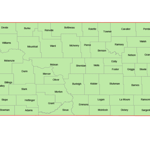
North Dakota Vector County Map
Price range: 8,00 $ through 10,00 $
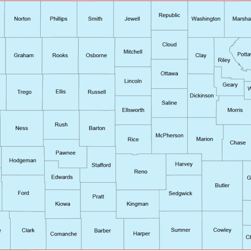
Kansas Vector County Map
Price range: 8,00 $ through 10,00 $
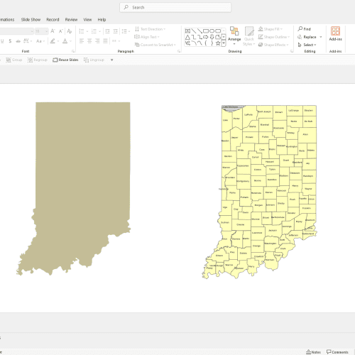
Indiana County Powerpoint Map
12,00 $
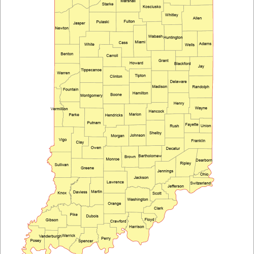
Indiana Vector County Map
Price range: 8,00 $ through 10,00 $
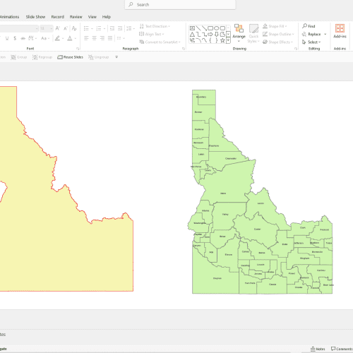
Idaho PowerPoint County Map
12,00 $
Reviews
There are no reviews yet.