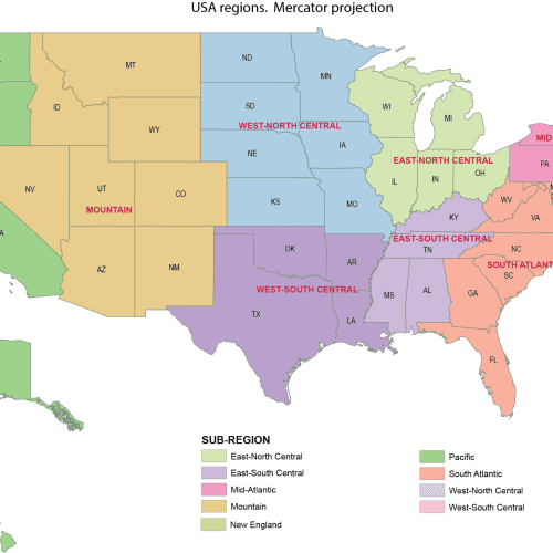
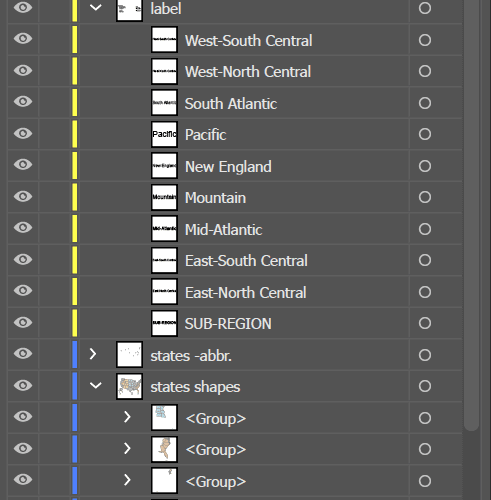
US Regions Mercator Map
US Regions Mercator Map proportional mapping of the U.S.
Price range: 14,50 $ through 15,00 $
Select optionsThis product has multiple variants. The options may be chosen on the product page
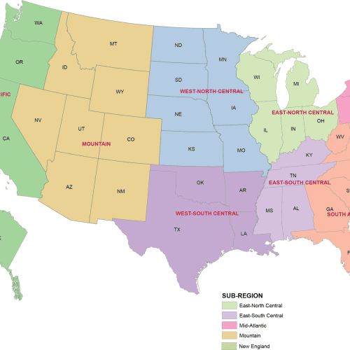

US Regions Albers Map
US Regions Albers Map Adobe Illustrator (.AI) file – fully editable and layered
Price range: 14,50 $ through 15,00 $
Select optionsThis product has multiple variants. The options may be chosen on the product page
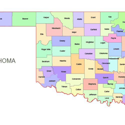
Oklahoma Colored County Map
Oklahoma Colored County Map: A high-quality, fully editable vector map of Oklahoma, AI, and Layered PDF file. Instant download.
Price range: 10,00 $ through 12,00 $
Select optionsThis product has multiple variants. The options may be chosen on the product page
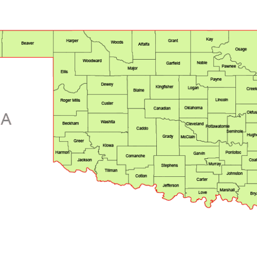
Oklahoma Vector County Map
Oklahoma Vector County Map is a professionally designed Illustrator artwork. The map supports infinite magnification.
Price range: 8,00 $ through 10,00 $
Select optionsThis product has multiple variants. The options may be chosen on the product page
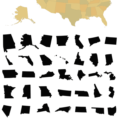
United States 50-State Silhouette Map
United States 50-State Silhouette Map. Each state is on a separate layer. AI,EPS
12,00 $
Select optionsThis product has multiple variants. The options may be chosen on the product page
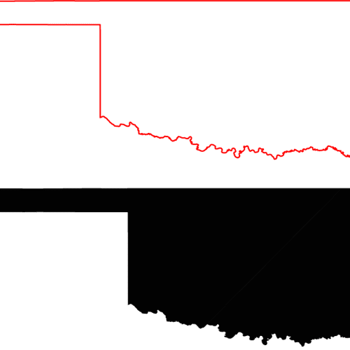
Oklahoma Free Silhouette Map
Oklahoma Free Silhouette Map download: free_silhouette_map.ai oklahoma_free_silhouette_map.pdf
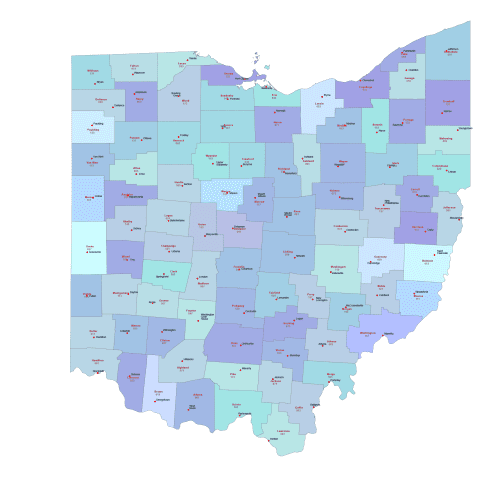
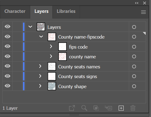
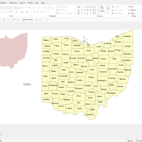
Ohio County Seat And FIPS Map
Ohio County Seat AND FIPS Map. Adobe Illustrator and a Layered PDF file on 6 layers. Instant download.
Price range: 11,90 $ through 15,00 $
Select optionsThis product has multiple variants. The options may be chosen on the product page
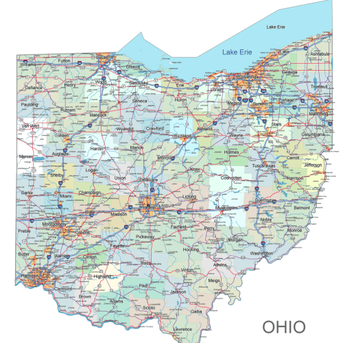
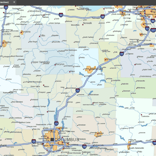
Ohio Road and City Map
The Ohio Road and City Map displays a wide range of features, including major roads, cities, and larger settlements. Rivers, lakes. AI, PDF.
Price range: 34,90 $ through 45,00 $
Select optionsThis product has multiple variants. The options may be chosen on the product page