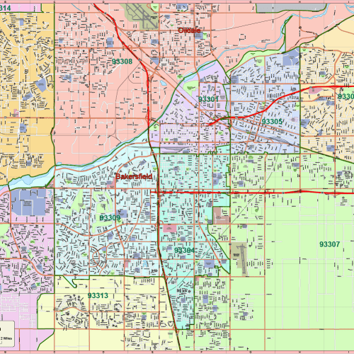
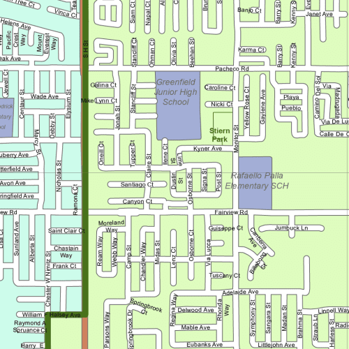
Bakersfield-CA Vector City Map
Bakersfield-CA Vector City Map in Adobe Illustrator format. Includes 17 layers with zip codes, CSU Bakersfield, malls, airports, and local landmarks.
45,00 $
Add to cart
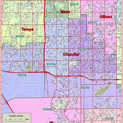
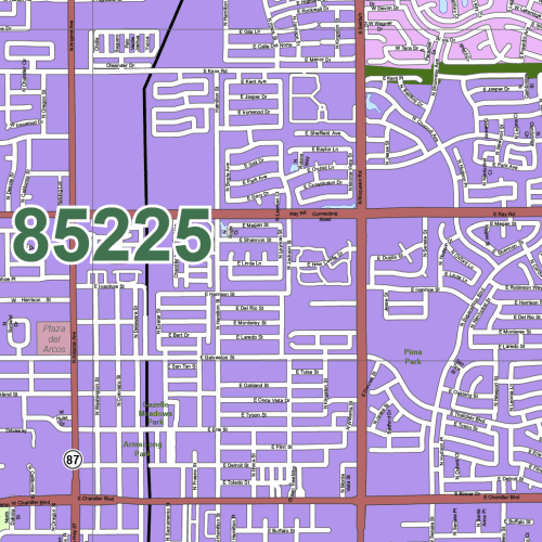
Chandler-Arizona Vector Map
Chandler-Arizona Vector Map Includes 17 layers with roads, zip codes, Chandler Municipal Airport, neighborhoods like Gilbert & South Tempe.
45,00 $
Add to cart
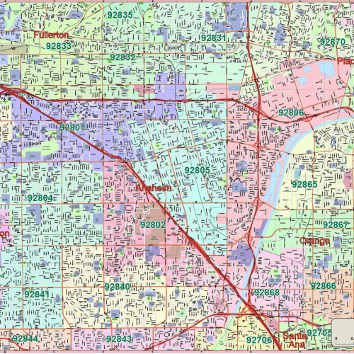
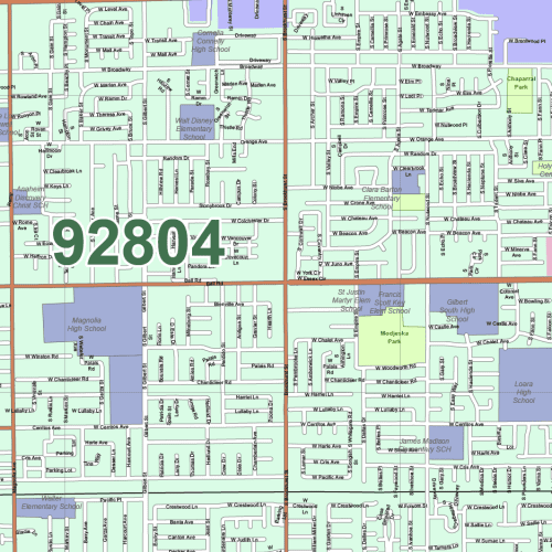
Anaheim-CA City Map
Anaheim-CA City Map: Download an editable Anaheim, California vector map in Adobe Illustrator format. Includes 17 layers with streets, zip codes,
45,00 $
Add to cart
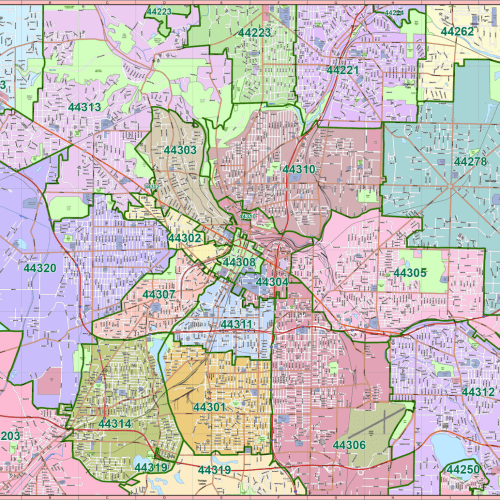

Akron-Ohio Vector Map
Akron-Ohio Vector Map. Includes 17 layers with streets, zip code zones, parks, schools, neighborhoods like North Hill, Ellet & Goodyear Heights.
45,00 $
Add to cart
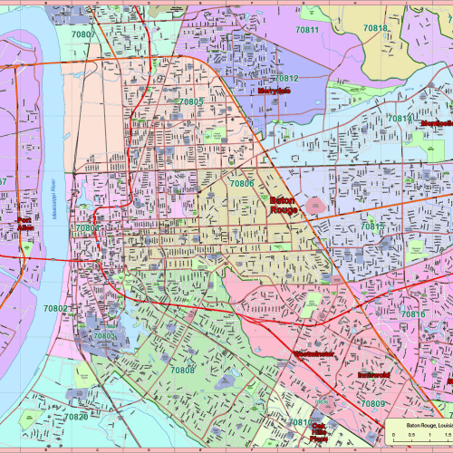
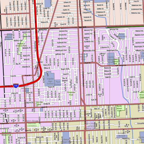
Baton Rouge, Louisiana Vector Map
Download an editable vector map of Baton Rouge, LA in AI format. Includes streets, zip codes, and local neighborhoods across 17 smart layers.
45,00 $
Add to cart
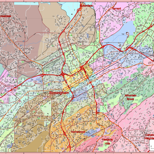
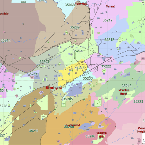
Birmingham, Alabama Vector Map
Birmingham, Alabama Vector Map-Editable Adobe Illustrator File with 17 Custom Layers & Local Landmarks
45,00 $
Add to cart
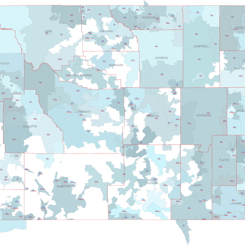
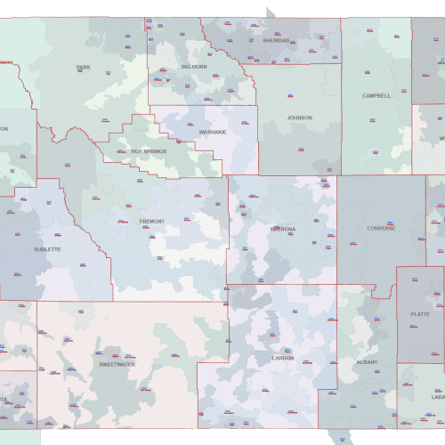
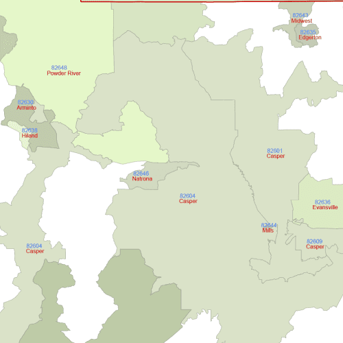
WY ZIP Codes With Cities And Counties
WY ZIP Codes With Cities And Counties Overlays, accurate county borders, clearly distinguishing each of Wyoming's counties
Price range: 22,50 $ through 25,00 $
Select optionsThis product has multiple variants. The options may be chosen on the product page
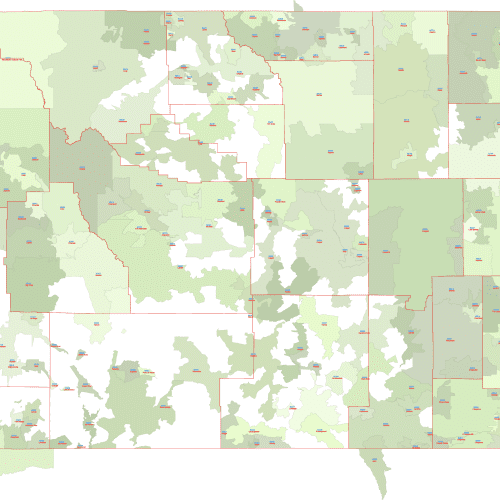
Wyoming ZIP Codes With Primary Cities
Wyoming ZIP Codes With Primary Cities Perfect for presentations, marketing materials, requiring geographic context and key city information
Price range: 18,00 $ through 20,00 $
Select optionsThis product has multiple variants. The options may be chosen on the product page
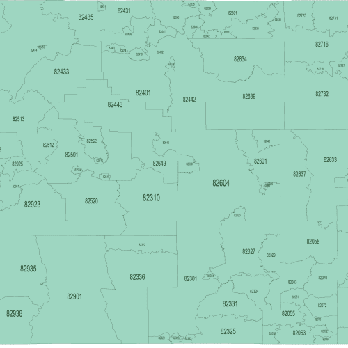
Wyoming ZIP Code Map Basic
Wyoming ZIP Code Map Basic Ideal for basic reference, territory planning, and applications where simplicity is key.
Price range: 12,00 $ through 15,00 $
Select optionsThis product has multiple variants. The options may be chosen on the product page