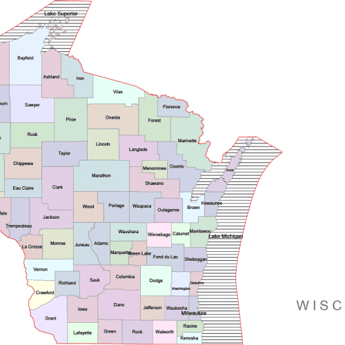
Wisconsin Colored County Map
Wisconsin Colored County Map A high-quality, fully editable vector map of Washington, AI, and a Layered PDF file. Instant download.
Price range: 10,00 $ through 12,00 $
Select optionsThis product has multiple variants. The options may be chosen on the product page
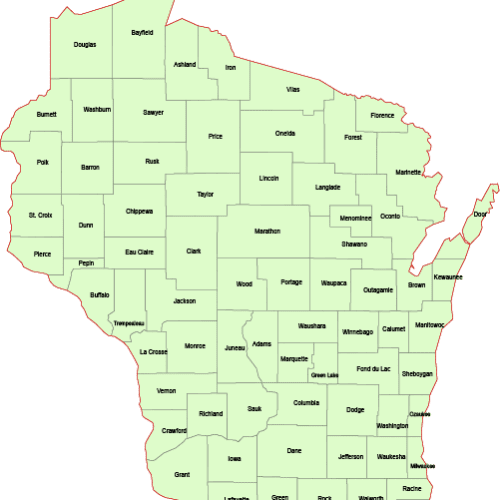
Wisconsin County Vector Map
Wisconsin County Vector Map is a professionally designed Illustrator artwork. The map supports infinite magnification.
Price range: 8,00 $ through 10,00 $
Select optionsThis product has multiple variants. The options may be chosen on the product page
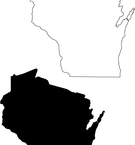
Wisconsin Free Cutout Map
Wisconsin Free Cutout Map Download-free-map.ai Wisconsin-free-cut-out-map.pdf
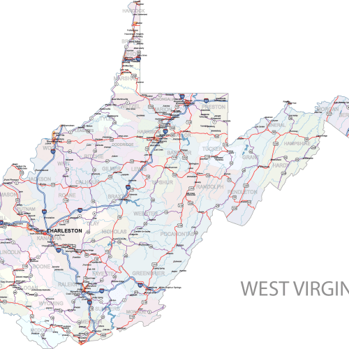
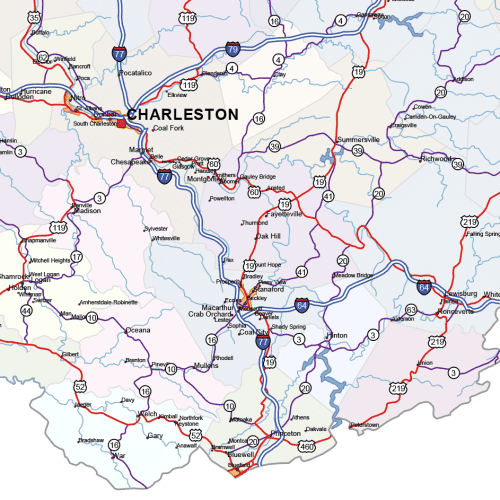
West Virginia Road and City Map
West Virginia Road and City Map displays a wide range of features, including major roads, cities, and larger settlements. Rivers, lakes. AI,PDF.
Price range: 24,90 $ through 29,90 $
Select optionsThis product has multiple variants. The options may be chosen on the product page
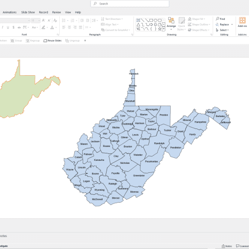
West Virginia PowerPoint Map
West Virginia PowerPoint Map: A file with a PPTX extension. It contains counties and names.
12,00 $
Add to cart
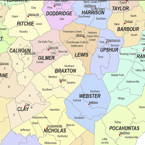
West Virginia Communities Map
The West Virginia Communities Map showcases cities, districts, villages, boroughs, barrios, and townships. Instant download file.
Price range: 19,90 $ through 24,90 $
Select optionsThis product has multiple variants. The options may be chosen on the product page
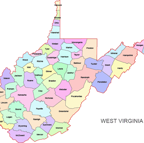
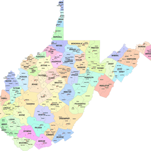
West Virginia Colored County Map
West Virginia Colored County Map: A high-quality, fully editable vector map of Washington, AI, and a Layered PDF file. Instant download.
Price range: 10,00 $ through 12,00 $
Select optionsThis product has multiple variants. The options may be chosen on the product page
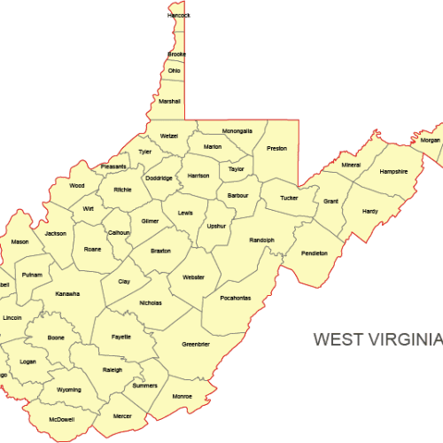
West Virginia Vector County Map
West Virginia Vector County Map is a professionally designed Illustrator artwork. The map supports infinite magnification.
Price range: 8,00 $ through 10,00 $
Select optionsThis product has multiple variants. The options may be chosen on the product page
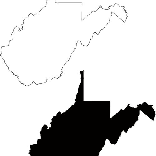
West Virginia Free Simplicity Map
West Virginia Free Simplicity Map Adobe Illustrator file
0,00 $
Download