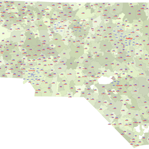
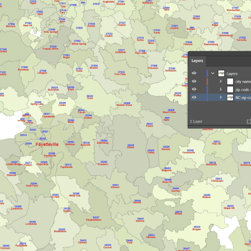
NC ZIP Code Map With Cities
NC ZIP Code Map With Cities data-driven (with cities) 5-digit vector map
Price range: 18,00 $ through 20,00 $
Select optionsThis product has multiple variants. The options may be chosen on the product page
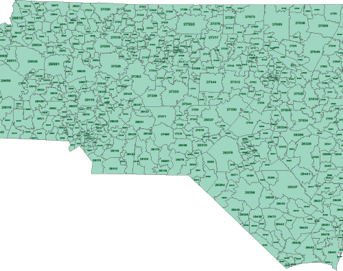
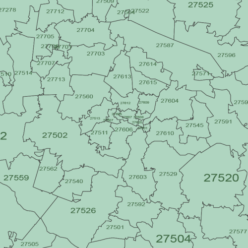
North Carolina ZIP Code Map Basic
North Carolina ZIP Code Map Basic Adobe Illustrator (.ai): A fully layered vector file, enabling seamless scaling without any loss of quality.
Price range: 12,00 $ through 15,00 $
Select optionsThis product has multiple variants. The options may be chosen on the product page
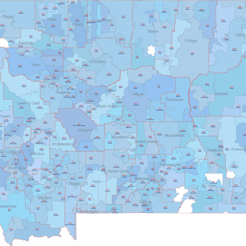
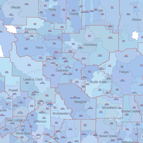
MT ZIP Code Map With Cities Counties
MT ZIP Code Map With Cities Counties
Price range: 22,50 $ through 25,00 $
Select optionsThis product has multiple variants. The options may be chosen on the product page
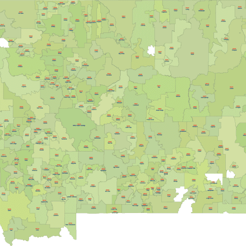
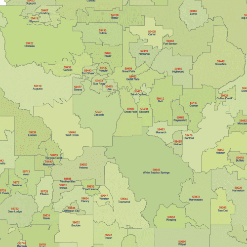
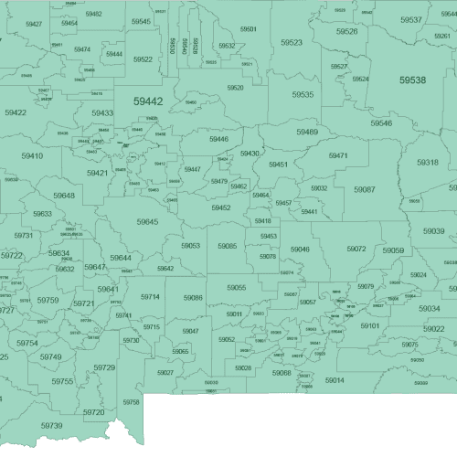
Montana ZIP Code Map With Cities
Montana ZIP Code Map With Cities Editable map of Montana postal code map. 5-digit zip code & location name.
Price range: 18,00 $ through 20,00 $
Select optionsThis product has multiple variants. The options may be chosen on the product page
Montana ZIP Code Map Basic
Montana ZIP Code Map Basic The projection is the same as that of Google Bing maps.
Price range: 12,00 $ through 15,00 $
Select optionsThis product has multiple variants. The options may be chosen on the product page
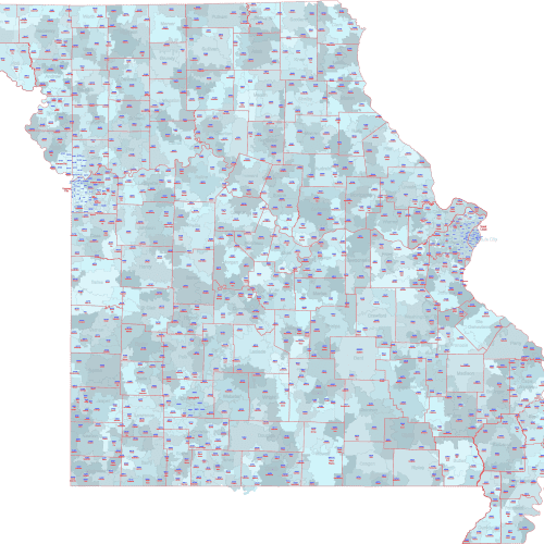
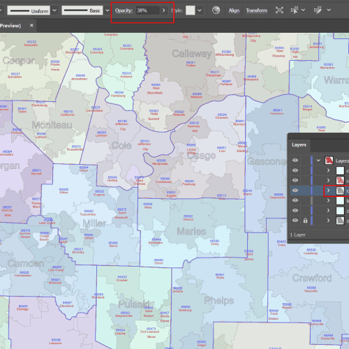
MO ZIP Code Map With Cities Counties
MO ZIP Code Map With Cities Counties The file only contains standard zip codes, PO boxes and other numbers are not indicated.
Price range: 22,50 $ through 25,00 $
Select optionsThis product has multiple variants. The options may be chosen on the product page

Missouri ZIP Code Map With Cities
Missouri ZIP Code Map With Cities The file only contains standard zip codes, PO boxes and other numbers are not indicated.
Price range: 18,00 $ through 20,00 $
Select optionsThis product has multiple variants. The options may be chosen on the product page
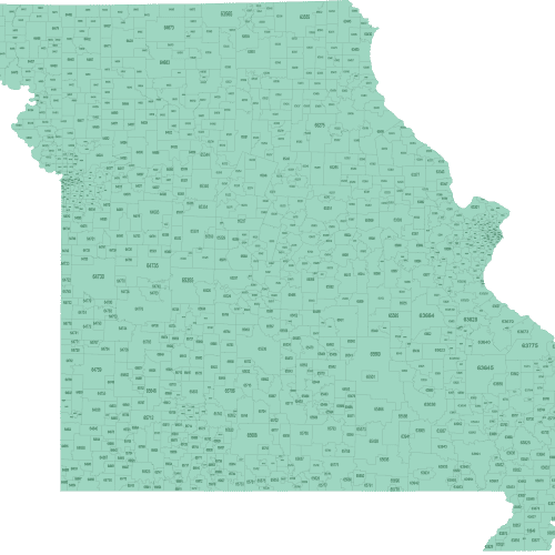
Missouri ZIP Code Map Basic
Missouri ZIP Code Map Basic The projection is the same as that of Google Bing maps.
Price range: 12,00 $ through 15,00 $
Select optionsThis product has multiple variants. The options may be chosen on the product page
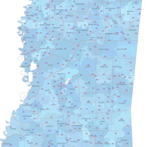
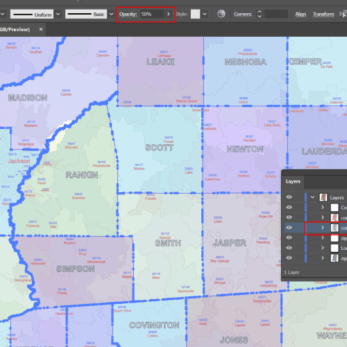
MS ZIP Code Map With Cities Counties
MS ZIP Code Map With Cities Counties Editable files in AI and PDF formats make for planning, logistics, analysis, or detailed presentations.
Price range: 22,50 $ through 25,00 $
Select optionsThis product has multiple variants. The options may be chosen on the product page