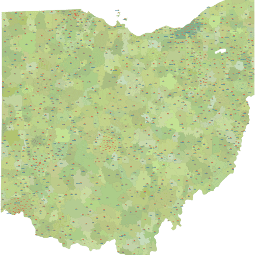

Ohio ZIP Codes with Primary Cities - Data-Driven Edition:
Ohio ZIP Codes with Primary Cities - Data-Driven Edition: Includes the 5-digit zip code number clearly displayed within its corresponding shape
Price range: 18,00 $ through 20,00 $
Select optionsThis product has multiple variants. The options may be chosen on the product page

Ohio ZIP Code Map Schematic Edition
Ohio ZIP Code Map Schematic Edition Excludes PO Box and Unique Zip Codes for a clear focus on deliverable geographic areas.
Price range: 12,00 $ through 15,00 $
Select optionsThis product has multiple variants. The options may be chosen on the product page
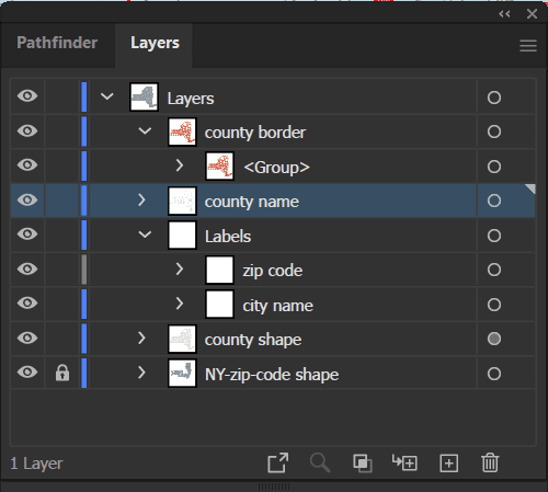
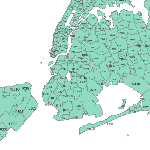
NY ZIP Codes With Cities Counties
NY ZIP Codes With Cities Counties file organized into logical layers within both the Adobe Illustrator (AI, 2022) and Layered PDF files
Price range: 22,50 $ through 25,00 $
Select optionsThis product has multiple variants. The options may be chosen on the product page
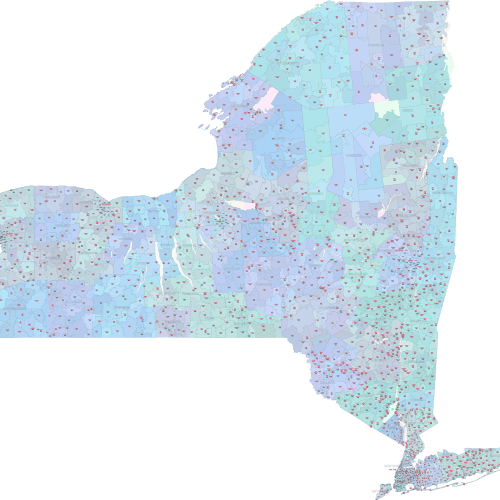
New York State Zip Codes with Cities
New York State Zip Codes with Cities are fully scalable without loss of quality and are perfect for print and digital use.
Price range: 18,00 $ through 20,00 $
Select optionsThis product has multiple variants. The options may be chosen on the product page
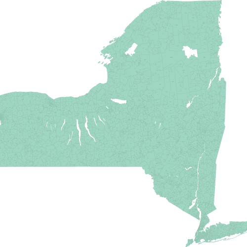
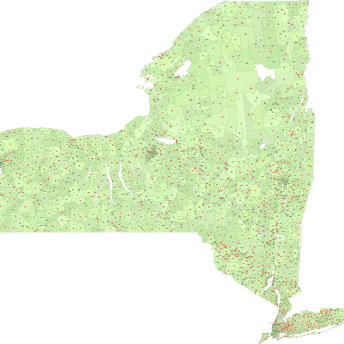
New York ZIP Code Map Basic
New York ZIP Code Map Basic Presented in a simple, single-color design for clarity and ease of use
Price range: 12,00 $ through 15,00 $
Select optionsThis product has multiple variants. The options may be chosen on the product page
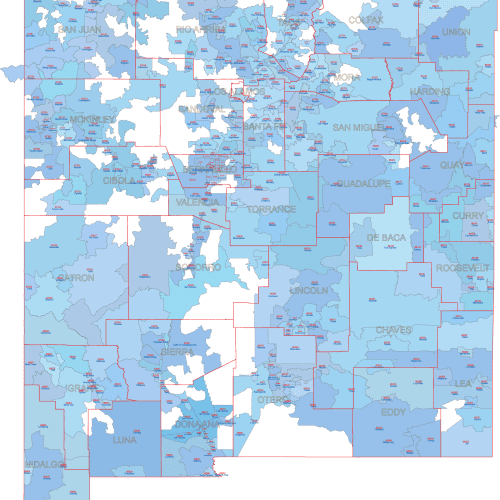
NM ZIP Code With Cities And Counties
NM ZIP Code With Cities And Counties
Price range: 22,50 $ through 25,00 $
Select optionsThis product has multiple variants. The options may be chosen on the product page
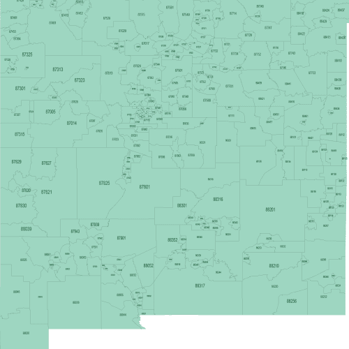
New Mexico ZIP Codes with Cities
New Mexico ZIP Codes with Cities Vector Format: Fully scalable without loss of quality, perfect for print and digital use.
Price range: 18,00 $ through 20,00 $
Select optionsThis product has multiple variants. The options may be chosen on the product page
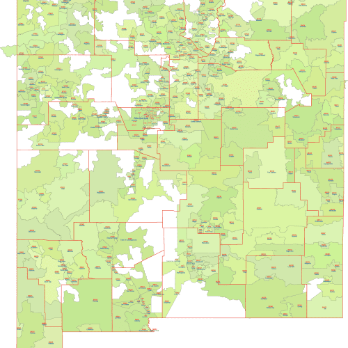
New Mexico ZIP Code Map - Basic
New Mexico ZIP Code Map Vector Format: Fully scalable without loss of quality, perfect for print and digital use
Price range: 10,00 $ through 15,00 $
Select optionsThis product has multiple variants. The options may be chosen on the product page
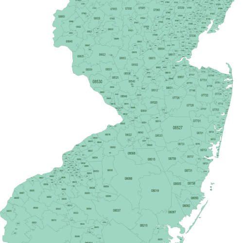
New Jersey Basic ZIP Code Map
New Jersey Basic ZIP Code Map fully editable vector object, allowing for extensive customization to suit your specific needs
Price range: 12,00 $ through 15,00 $
Select optionsThis product has multiple variants. The options may be chosen on the product page