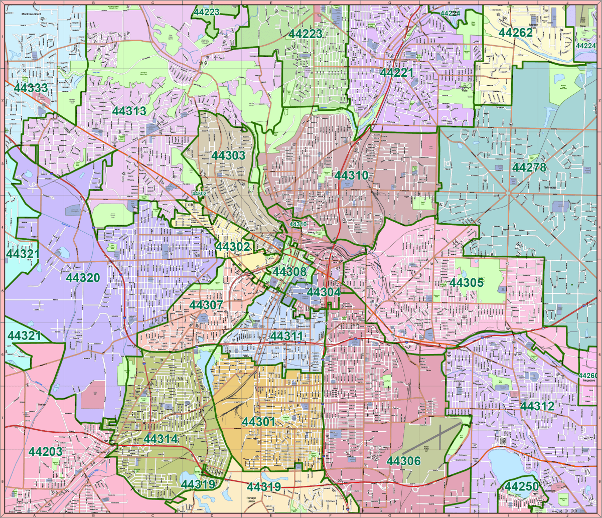
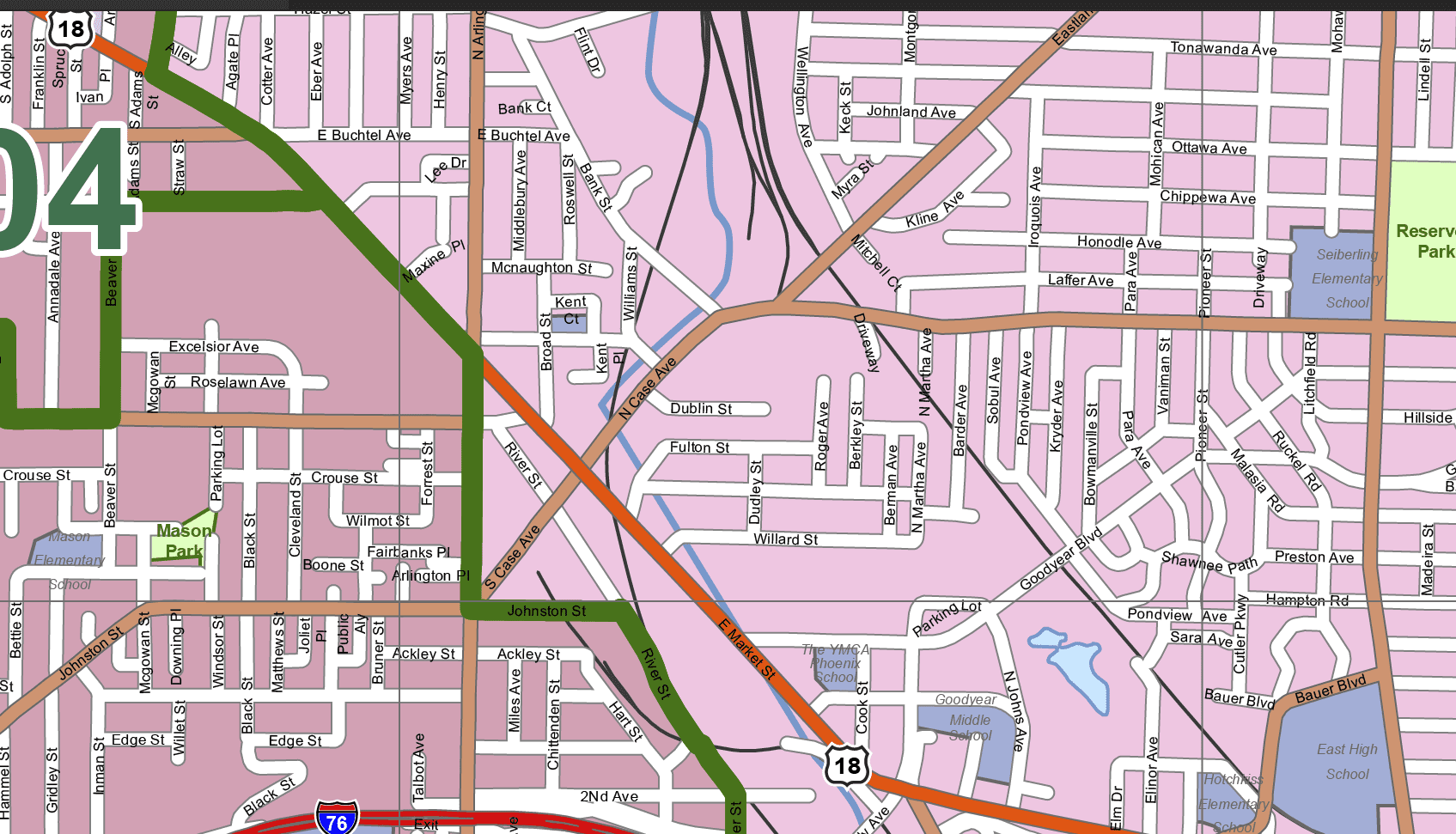
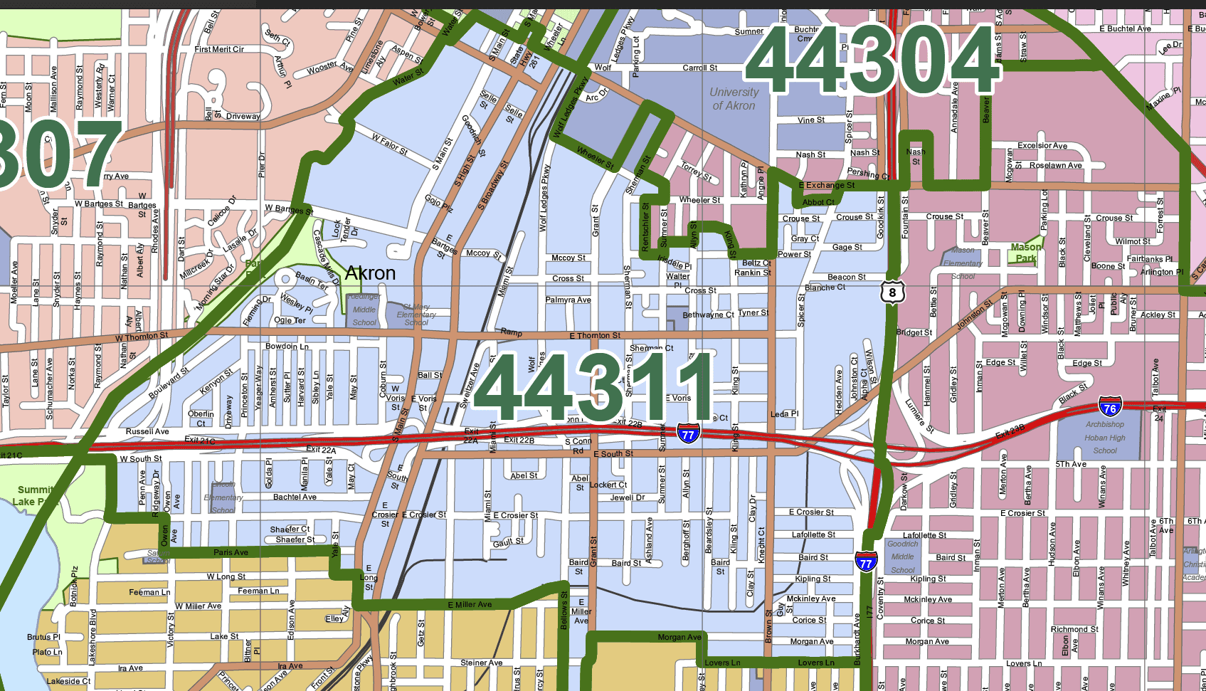
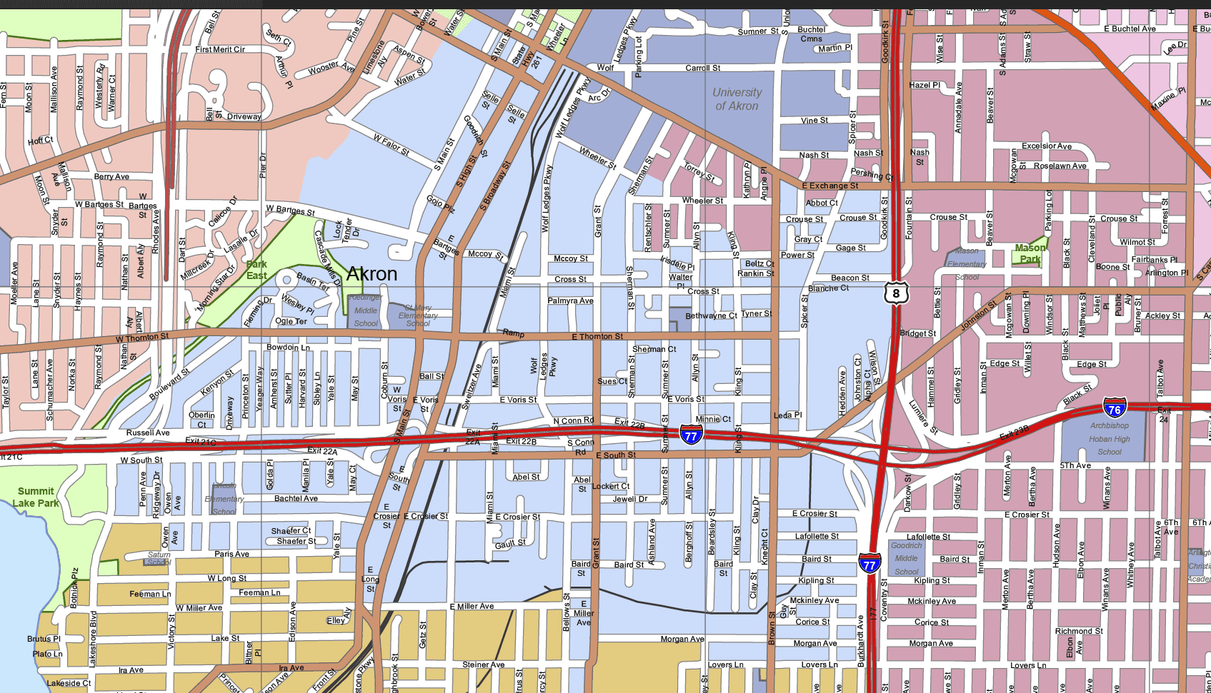
Description
Akron-Ohio Vector Map Editable Adobe Illustrator File with Streets, Neighborhoods & 17 Custom Layers
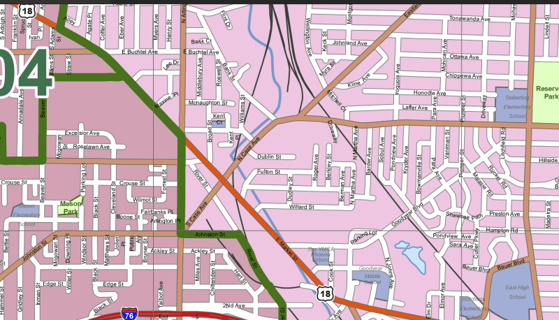
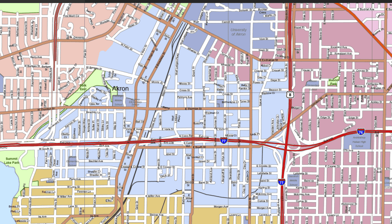
Bring clarity and precision to your next planning or design project with this detailed Akron-Ohio Vector Map, built specifically for use in Adobe Illustrator 2022. This scalable and editable map covers 90 square miles, providing a layered layout of Akron’s roads, zip code boundaries, landmarks, and neighborhoods.
Organized into 17 customizable layers, this map allows you to highlight, style, or extract specific features like zip code zones, parks, schools, hospitals, or road networks—ideal for urban planning, real estate development, and marketing presentations.
Map Features:
✅ 17 Smart, Editable Layers
- Highways, expressways, state routes (with route signs)
- Detailed street grid (polyline format)
- Neighborhoods and city areas (polygons & live text)
- Parks, rivers, and water bodies (text & shapes)
- Schools, hospitals, clinics, golf courses, shopping centers
- Zip code boundaries with labeled numbers
- Live text labels for all geographic and landmark names
✅ Neighborhoods Included:
This map highlights key Akron areas including:
- Fairlawn Heights, Wallhaven, Northwest Akron, North Hill, Tallmadge, Goodyear Heights, East Akron, South Akron, Firestone Park, Kenmore, Rolling Acres, Ellet
✅ Technical Details:
- File Format: Adobe Illustrator (.AI)
- Illustrator Version: 2022+
- File Size: ~9 MB
- Fully editable and scalable
- Organized, color-coded layout for quick customization
Perfect For:
Urban development teams, GIS professionals, graphic designers, zoning consultants, and educators are looking for a clean, comprehensive, and editable map of Akron.
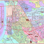
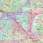
HI-RES IMAGE OF MAP
Only logged in customers who have purchased this product may leave a review.


Reviews
There are no reviews yet.