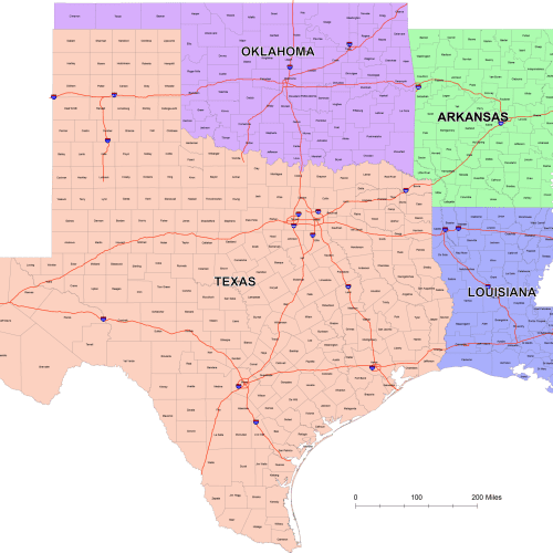
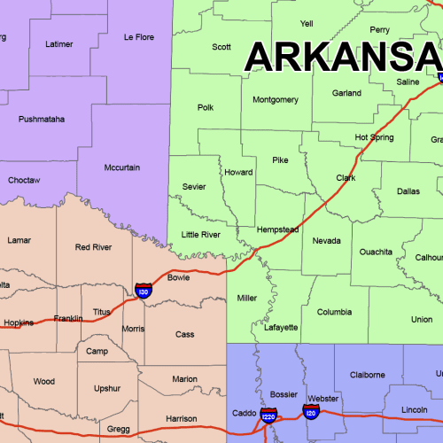
West South Central County Map
West South Central County Map
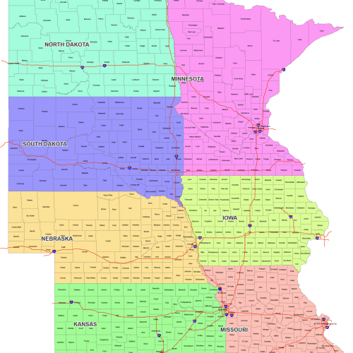
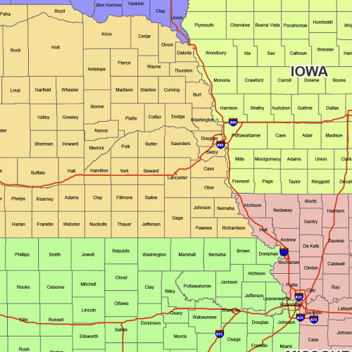
West North Central County Map
West North Central County Map: 7 state maps with county names. This is a fully editable, layered AI and PDF file—instant download.
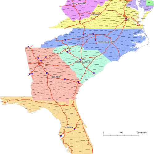
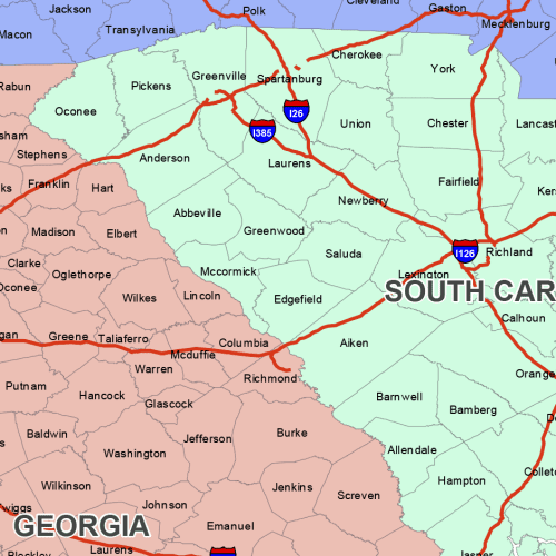
South Atlantic Region Counties
South Atlantic Region Counties colored by states – Each state is color-coded for quick visual grouping. Adobe Illustrator file
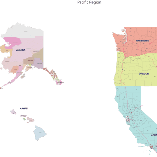
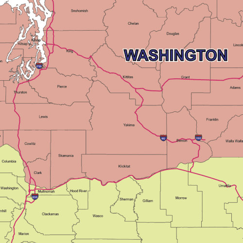
Precision Pacific Region County Map
Precision Pacific Region County Map easy to open, print, or edit in most design software, Adobe Illustrator, and a Layered PDF file
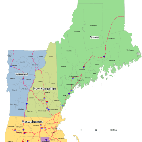
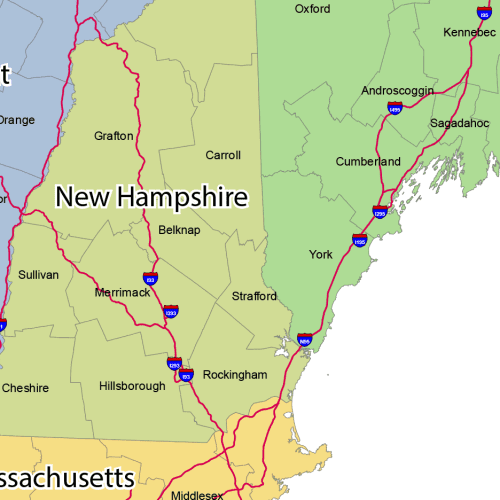
CartoCraft New England County Map
CartoCraft New England County Map Layered PDF – easy to open, print, or edit in most design software
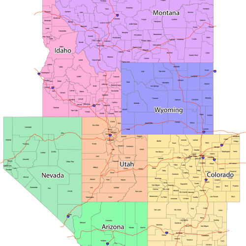
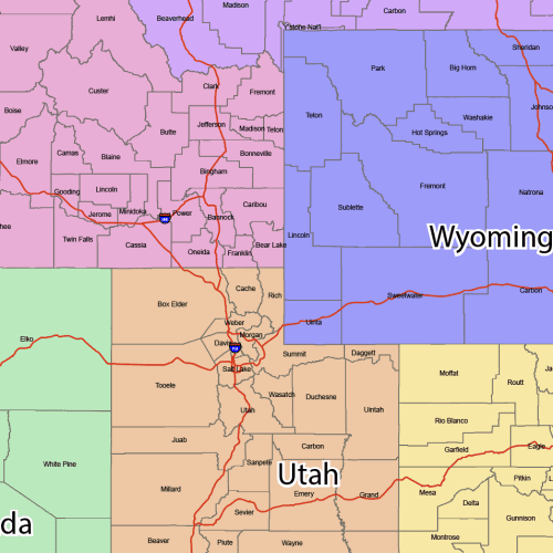
GeoPrime: Mountain Region County Map
GeoPrime: Mountain Region County Map is perfect for accurate, proportional mapping of the U.S. Fully editable and layered file.
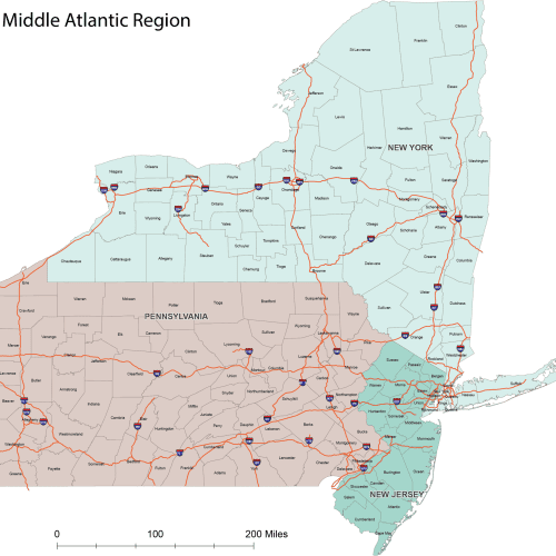
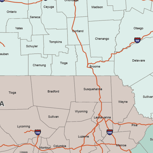
ProGrade Middle Atlantic County Map
ProGrade Middle Atlantic County Map, Adobe Illustrator and Layered PDF Map
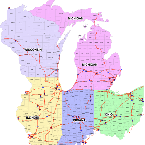
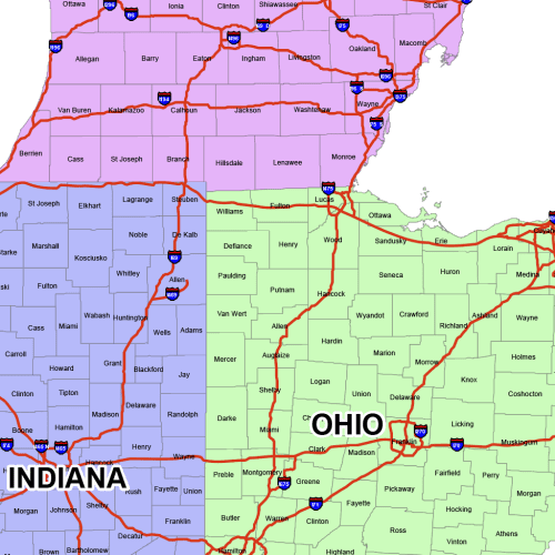
East North Central County Map
East North Central County Map
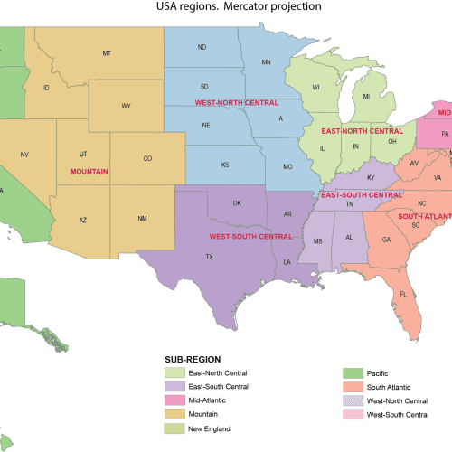
US Regions Mercator Map
US Regions Mercator Map proportional mapping of the U.S.

