Heart Shaped World Map
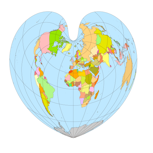
Heart Shaped World Map Adobe Illustrator and PDF artwork – as many people know it. It is more than just a design element, it also shows geographical coordinates.
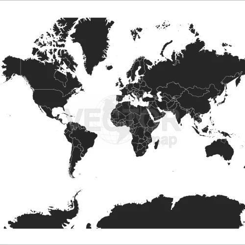
Black-filled-world-vector-map
Black-filled-world-vector-map with country borders, thin white outline as borderline. Simple high detail line vector wireframe. Adobe Illustrator, PDF file format.
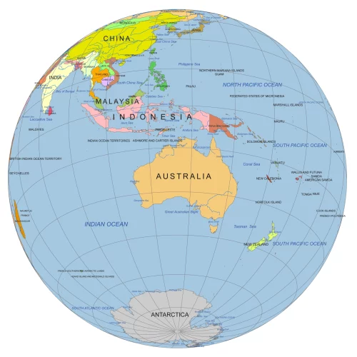
Australia Rotated Globe Map – Bird’s Eye View Vector Map
Australia Rotated Globe Map – Bird’s Eye View Vector Map. Get a unique perspective on Australia with this bird’s-eye view globe map
Grid step: 30°
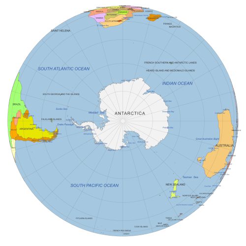
South Pole From Space
South Pole from Space view with Antarctica, seas & oceans. Color vector map with 30° graticules. AI & layered PDF. Perfect for polar studies & design.
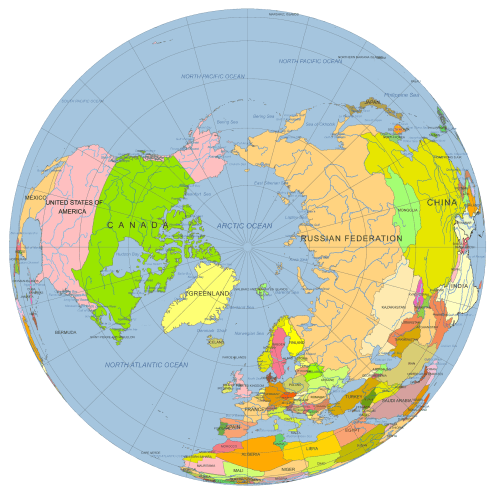
North Pole Globe Map
North Pole Globe Map view at 90°N. Vector map with countries, Arctic Ocean, rivers & graticules. AI (3 MB) & layered PDF (2.6 MB). Great for polar projects.
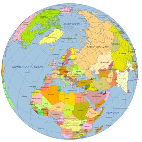
Europe Continent Focused Globe. Reference map
Europe Continent Focused Globe. Reference map. Perfect for infographics, educational materials, print layouts, or digital projects.
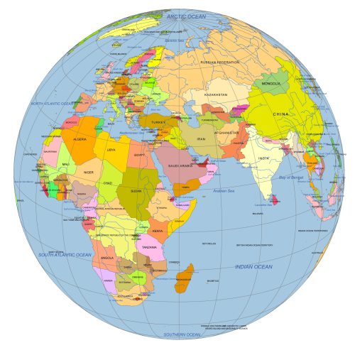
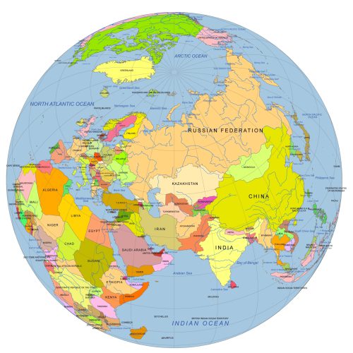
Near East Focused Colored Globe With Countries
Near East focused colored Globe with countries. This reference-style map is ideal for presentations, infographics, and educational content.
Near East And Central Asia On Globe
Near East And Central Asia On Globe with countries vector artwork. Reference map. Ideal for infographics, reports, educational use, or publishing
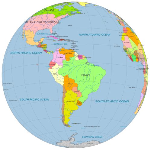
South America Globe Map PDF
South America Globe Map PDF Ideal for designers, educators, and data visualization projects focused on South America.

