World Maps
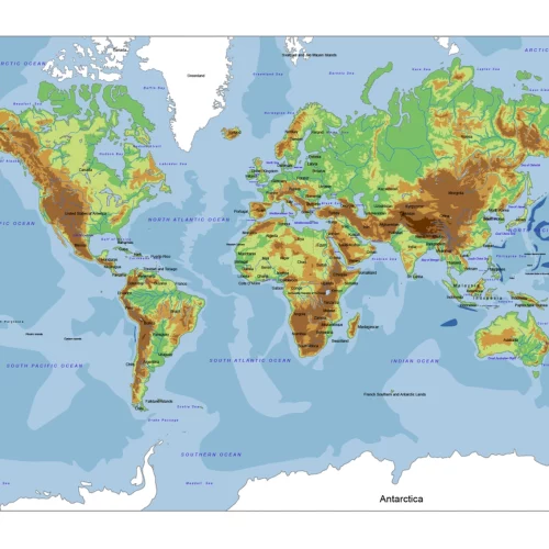
World Relief Vector Map
0 out of 5
The World Relief Vector Map defined the height and elevation of the land and water bodies. 13 layers.
14,50 $ – 15,00 $Price range: 14,50 $ through 15,00 $
Select optionsThis product has multiple variants. The options may be chosen on the product page
World Maps
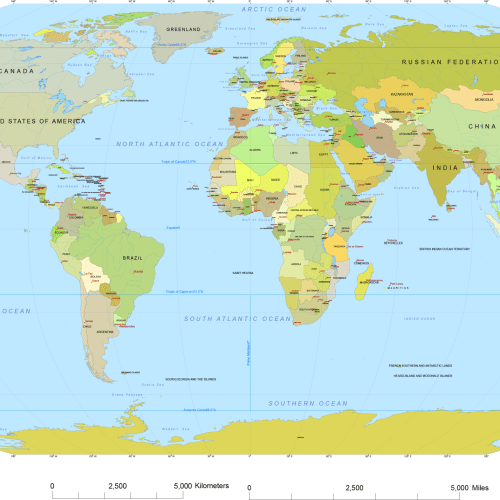
Vector World Map With Names
0 out of 5
Vector world map with names is the most detailed map. Country names, capitals, names of oceans, straits, bays, and scale bars complete the printable map.
19,70 $ – 19,90 $Price range: 19,70 $ through 19,90 $
Select optionsThis product has multiple variants. The options may be chosen on the product page
World Maps
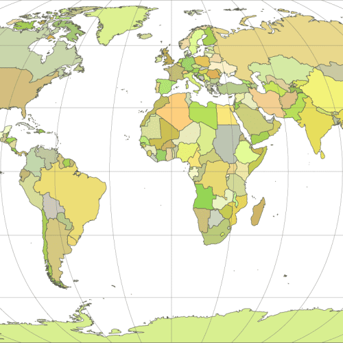
Vector-world-map-Robinson-projection
0 out of 5
Vector-world-map-Robinson-projection is a distorted sphere shape. Each country is filled with different colors and shows the main graticules lines. Three file format:EPS, AI, PDF.
9,70 $ – 9,90 $Price range: 9,70 $ through 9,90 $
Select optionsThis product has multiple variants. The options may be chosen on the product page


