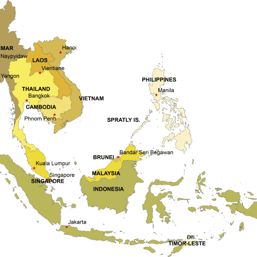
Southeast Asia Digital Map
Southeast Asia Digital Map – Adobe Illustrator & Layered PDF. Instant download, high-quality vector files. Get yours now for just $10-$12!
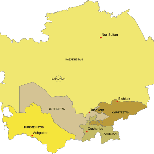
Central Asia Digital Map
Central Asia Digital map. Countries with capitals. Adobe Illustrator and Layered PDF file
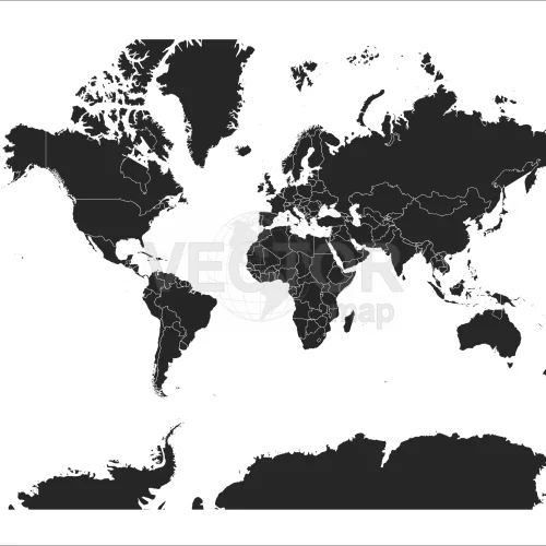
Black-filled-world-vector-map
Black-filled-world-vector-map with country borders, thin white outline as borderline. Simple high detail line vector wireframe. Adobe Illustrator, PDF file format.
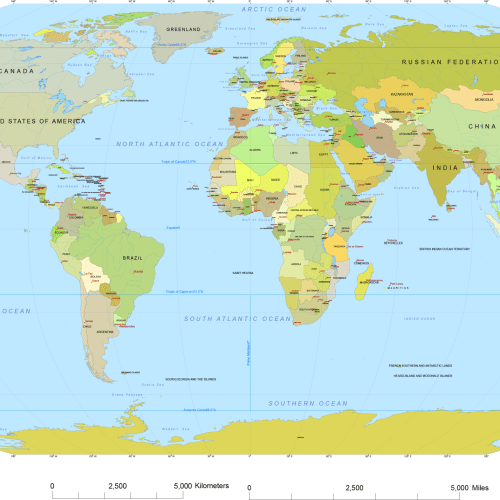
Vector World Map With Names
Vector world map with names is the most detailed map. Country names, capitals, names of oceans, straits, bays, and scale bars complete the printable map.
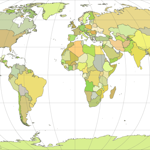
Vector-world-map-Robinson-projection
Vector-world-map-Robinson-projection is a distorted sphere shape. Each country is filled with different colors and shows the main graticules lines. Three file format:EPS, AI, PDF.
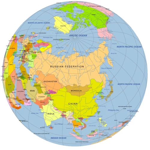
Central Asia Focused Rotated Globe. Reference map
Central Asia Focused Rotated Globe map at 50°N, 60°W. Colored vector map with countries, waterbodies & graticules. AI & layered PDF formats.
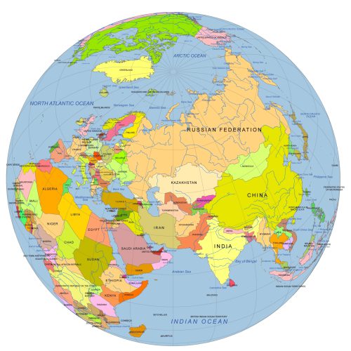
Near East And Central Asia On Globe
Near East And Central Asia On Globe with countries vector artwork. Reference map. Ideal for infographics, reports, educational use, or publishing
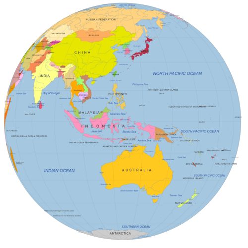
Colored vector Globe. Southeast Asia focused
Southeastern Asia. Individually selectable country Globe with 5 layers. Countries, waterbodies, country name. Colorful Illustrator Artwok.
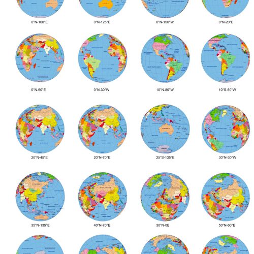
20 colored Globe from Space, in different angle.
The Adobe Illustrator file collects 20 different views of Globe from Space. Each map presents the Earth in a unique view

