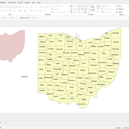
“Ohio Powerpoint Map” has been added to your cart.
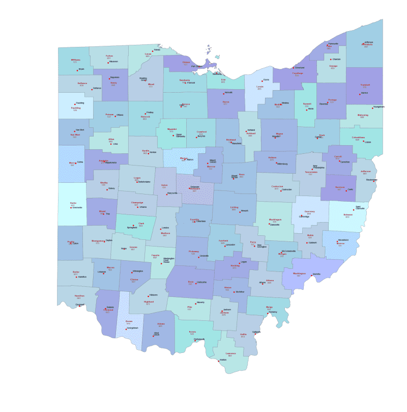
Ohio County Seat And FIPS Map
0 out of 5
11,90 $ – 15,00 $Price range: 11,90 $ through 15,00 $
Category: Ohio OH
Tags: OH county name, OH county seats, OH FIPS Codes
AI customizable styling, scalabilityPDF cross-platform compatibility
- Description
- Reviews (0)
Description
Ohio County Map with Seats & FIPS Codes – Vector AI & Layered PDF
Explore a detailed and professionally designed vector map of [State Name] featuring all county boundaries, county names, county seat names, seat markers, and official FIPS codes. This high-resolution map is perfect for educational, governmental, business, and design use.
Product Features:
- ✅ Editable Vector Formats: Comes in Adobe Illustrator (AI) and layered PDF formats for full customization
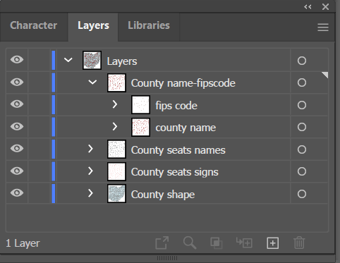
- ✅ Detailed Layers Include:
- County boundaries with individual colors
- County names
- County seat names
- County seat markers
- Official FIPS codes for each county
- ✅ Geographically Accurate Layout: Counties are placed based on their true relative locations
- ✅ Ready for Print or Digital Projects: High-quality for presentations, infographics, signage, reports, or web
Whether you’re creating educational materials, planning logistics, or designing a publication, this map offers a clean, precise, and editable foundation.
Download Includes:
- Adobe Illustrator (.AI) file (fully editable, layered)
- Layered PDF (for print and general use)
Only logged in customers who have purchased this product may leave a review.
Related Products
Ohio OH
Ohio County and Communities Map
0 out of 5
19,90 $ – 24,90 $Price range: 19,90 $ through 24,90 $

Reviews
There are no reviews yet.