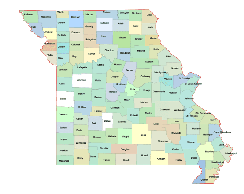
Missouri Colored County Map
10,00 $ – 12,00 $Price range: 10,00 $ through 12,00 $
AI customizable styling, scalabilityPDF cross-platform compatibility
- Description
- Reviews (0)
Description
Using Adobe Illustrator Standard files for maps in the webshop ensures:
1. Scalability Without Quality Loss – Illustrator files (AI, EPS, or SVG formats) are vector-based, meaning they can be resized infinitely without pixelation. This is crucial for maps, as users may need them at various scales.
2. Professional Print Quality – Vector files maintain sharp lines and precise details, making them ideal for high-resolution printing on posters, brochures, or large-scale signage.
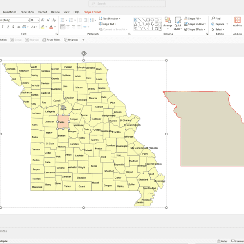
3. Editability & Customization – AI files allow designers to easily modify elements such as colors, labels, and layers, providing flexibility for customization.
4. Compatibility with Design Software – Adobe Illustrator is an industry standard, ensuring seamless integration with other professional design tools used for printing, web, or digital marketing.
5 . Layered Structure – Maps often contain multiple layers (roads, landmarks, topography), which can be adjusted separately in Illustrator, making editing more efficient.
How to open a Missouri Colored County Map file?
If you don’t have Adobe Illustrator, there are several alternatives to open and edit AI Missouri Colored Vector County Map files:
Free & Paid Alternatives:
Inkscape (Free, Open Source) – A great alternative for editing vector files, though it may not support all Illustrator features.
Affinity Designer (Paid, One-time Purchase) – A powerful Illustrator competitor with good AI file support.
CorelDRAW (Paid) – Can handle AI files and is often used for vector design.
Gravit Designer (Free & Paid) – A web-based vector editor that can open AI files.
GIMP (Free) – Can open AI files, but only as rasterized images (not editable as vectors).

Reviews
There are no reviews yet.