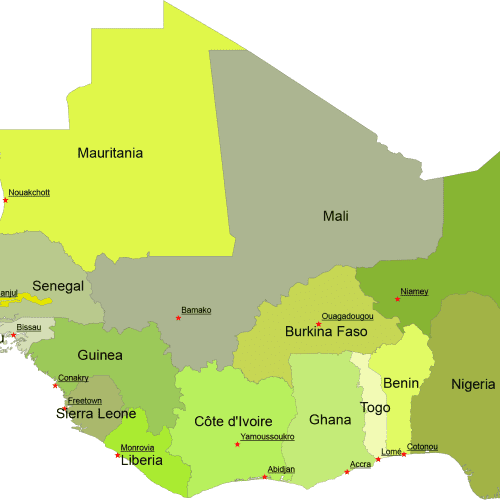
West Africa Digital Map
West Africa Digital Map for printing and PowerPoint. Country name and capitals. AI (2022) and Layered PDF file.
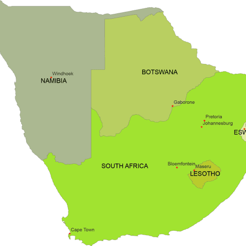
South Africa Digital Map
South Africa Digital Map represents geographical shape of countries with capitals.Adobe Illustrator (2022) and Layered PDF file.
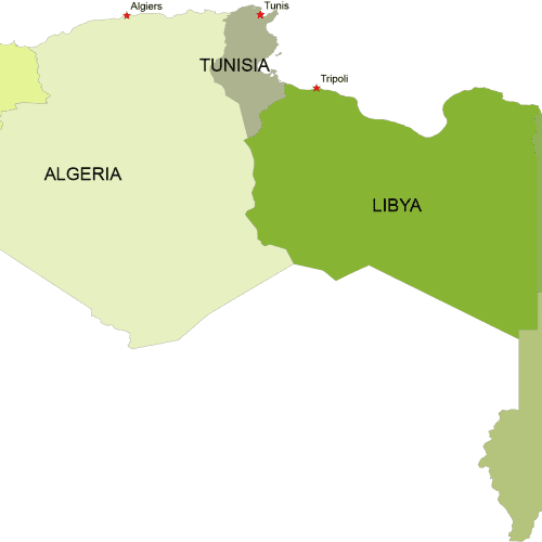
North Africa Digital Map
North Africa Digital Map. 7 coutries with different colors with capitals.Adobe Illustrator (2022) and Layered PDF file.
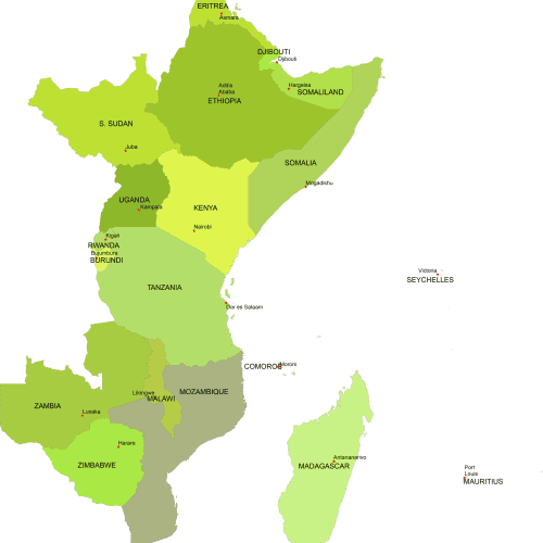
East Africa Digital Map
East Africa Digital Map includes 18 country shapes in different colors with capital names. Adobe Illustrator and Layered PDF format
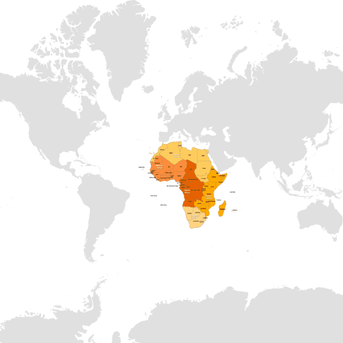
Countries of Africa by Subregions
Countries of Africa by Subregions" map provides a visual representation of the continent. Available in Illustrator and layered PDF formats.
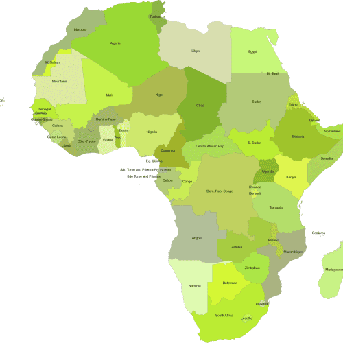
Africa by Country Continent Map
Africa by Country Continent Map of all 54 African nations along with their names.Adobe Illustrator and Layered PDF file.
Africa, as the primary category, offers a collection of editable digital maps from various countries across the continent, available for instant download.

