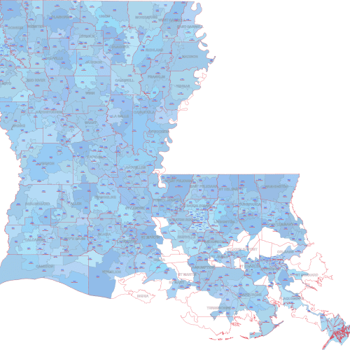
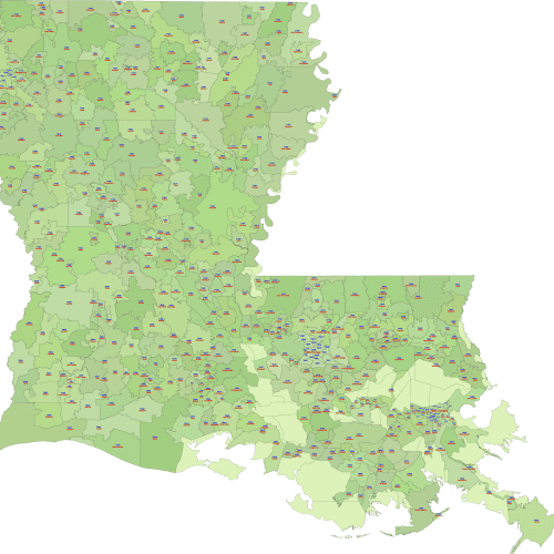
LA ZIP Code Map With Cities Counties
LA ZIP Code Map With Cities Counties used to identify specific geographic locations and demographics, allowing businesses to segment their target audience
Louisiana ZIP Code Map With Cities
Louisiana ZIP Code Map With Cities used to identify specific geographic locations and demographics, allowing businesses to segment their target audience
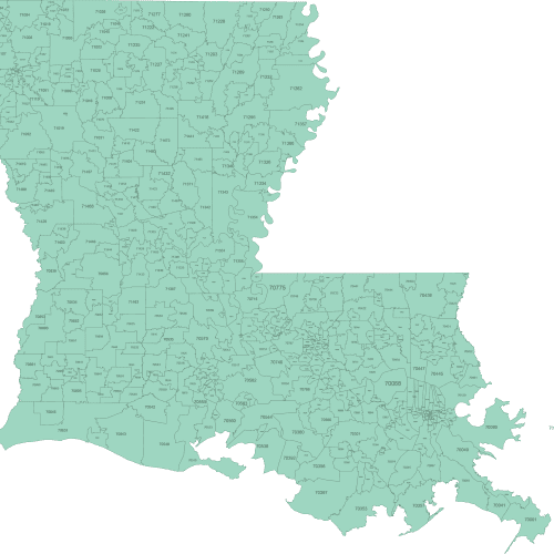
Louisiana ZIP Code Map Basic
Louisiana ZIP Code Map Basic to identify specific geographic locations and demographics, allowing businesses to segment their target audience
Discover ZIP Code maps of Louisiana in three professionally designed formats: basic schematic, city-labeled, and city-county versions. Each map includes only standard ZIP Codes with physical land coverage — unique-use and PO Box-only codes are excluded.
Perfect for visualization, logistics, marketing, and research, these maps are delivered in Adobe Illustrator and layered PDF. You’ll find ZIPs across Louisiana from urban centers to rural areas, including: New Orleans (70112–70130), Baton Rouge (70802), Shreveport (71101), Lafayette (70501), Lake Charles (70601).


