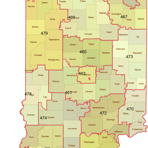
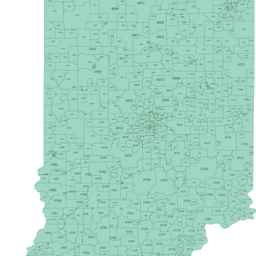
Indiana 3-Digit ZIP Code Map with Counties
Download your editable Indiana 3-Digit ZIP Code Map with Counties today and start mapping with precision and style!
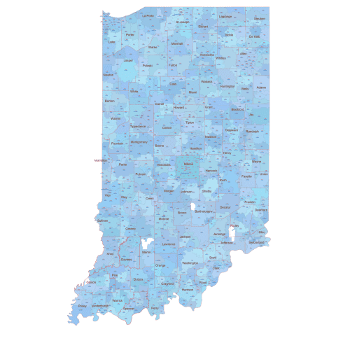
IN ZIP Code Map With Cities Counties
IN ZIP Code Map With Cities Counties Based on U.S. Census data, only standard ZIP Codes with defined land area are shown.
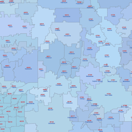
Indiana ZIP Code Map With Cities
Indiana ZIP Code Map With Cities The layered files (AI and PDF) are perfect for identifying service zones, customer clusters, and city relationships
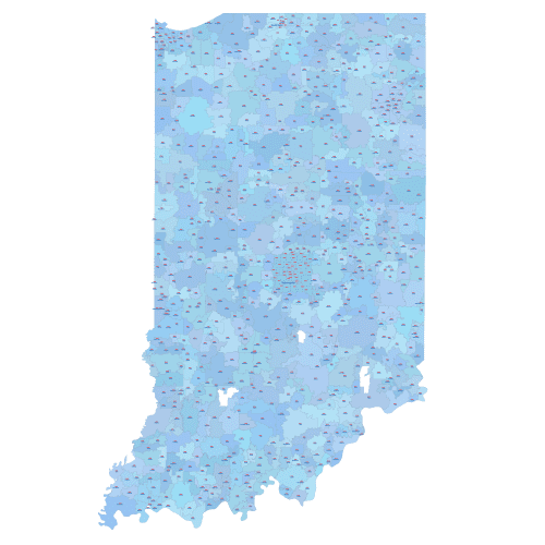
Indiana ZIP Code Map Basic
Indiana ZIP Code Map Basic Only standard ZIP Codes with geographic areas are included. Unique-use and PO Box-only ZIPs are excluded.
Discover ZIP Code maps of Indiana in three professionally designed formats: basic schematic, city-labeled, and city-county versions. Each map includes only standard ZIP Codes with physical land coverage — unique-use and PO Box-only codes are excluded.
Perfect for visualization, logistics, marketing, and research, these maps are delivered in Adobe Illustrator and layered PDF. You’ll find ZIPs across Indiana from urban centers to rural areas, including: Indianapolis (46201–46260), Fort Wayne (46802), Evansville (47708), South Bend (46601), Bloomington (47401).

