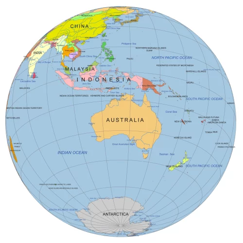
Australia Rotated Globe Map – Bird’s Eye View Vector Map
Australia Rotated Globe Map – Bird’s Eye View Vector Map. Get a unique perspective on Australia with this bird’s-eye view globe map
Grid step: 30°
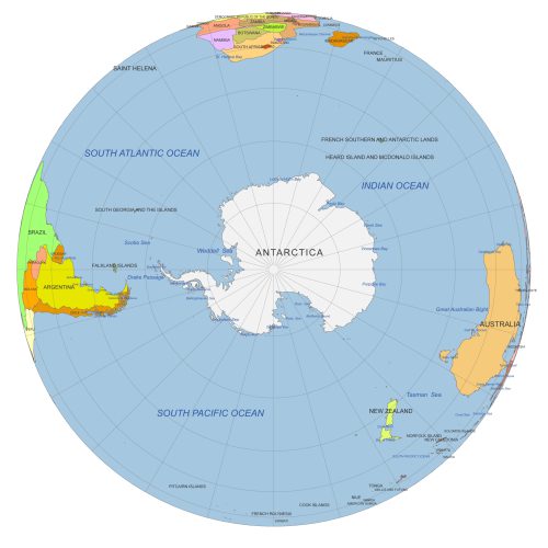
South Pole From Space
South Pole from Space view with Antarctica, seas & oceans. Color vector map with 30° graticules. AI & layered PDF. Perfect for polar studies & design.
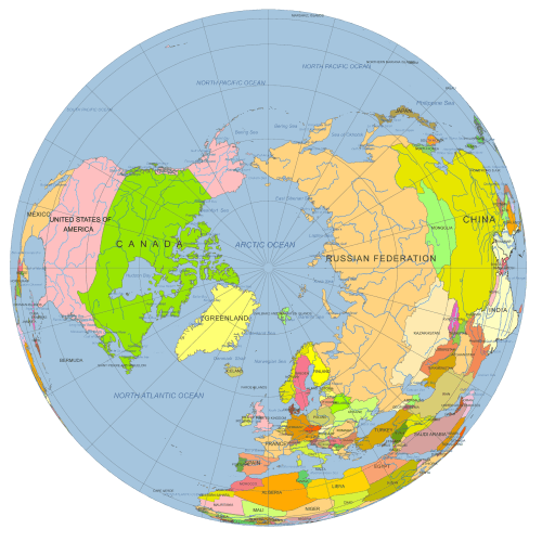
North Pole Globe Map
North Pole Globe Map view at 90°N. Vector map with countries, Arctic Ocean, rivers & graticules. AI (3 MB) & layered PDF (2.6 MB). Great for polar projects.
Europe Continent Focused Globe. Reference map
Europe Continent Focused Globe. Reference map. Perfect for infographics, educational materials, print layouts, or digital projects.
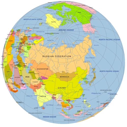
Central Asia Focused Rotated Globe. Reference map
Central Asia Focused Rotated Globe map at 50°N, 60°W. Colored vector map with countries, waterbodies & graticules. AI & layered PDF formats.
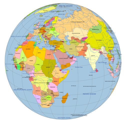
Near East Focused Colored Globe With Countries
Near East focused colored Globe with countries. This reference-style map is ideal for presentations, infographics, and educational content.
Near East And Central Asia On Globe
Near East And Central Asia On Globe with countries vector artwork. Reference map. Ideal for infographics, reports, educational use, or publishing
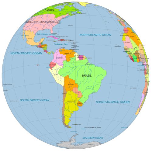
South America Globe Map PDF
South America Globe Map PDF Ideal for designers, educators, and data visualization projects focused on South America.
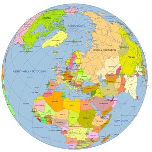
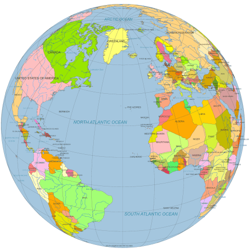
Vector Globe North America to Europe
Vector Globe North America to Europe (30°N, 30°W). Designed for professional use, ideal for editorial, educational, or presentation purposes.
Colorful Vector Globe Maps – Bird’s-Eye Views of the World
Discover a vibrant collection of colorful vector globe maps, designed for easy reference and seamless integration into your creative projects. These high-quality globe views are skewed and rotated to offer unique bird’s-eye perspectives of the Earth—just like seeing the globe from space. Each map focuses on different continents or regions, providing fresh and engaging visuals.
With 13 professionally designed globes, this collection offers the perfect tools for designers, educators, and presenters alike.
📌 Key Features:
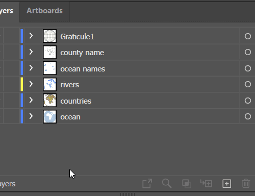
✔ Editable & Scalable – Fully customizable in Adobe Illustrator and layered PDF formats
✔ Accurate Projection – Designed in Web Mercator, just like Google and Bing Maps
✔ Instant Access – Download immediately after payment—no waiting required!
Perfect for educational materials, presentations, reports, and design projects—bring your visuals to life with stunning, easy-to-use globe maps.

