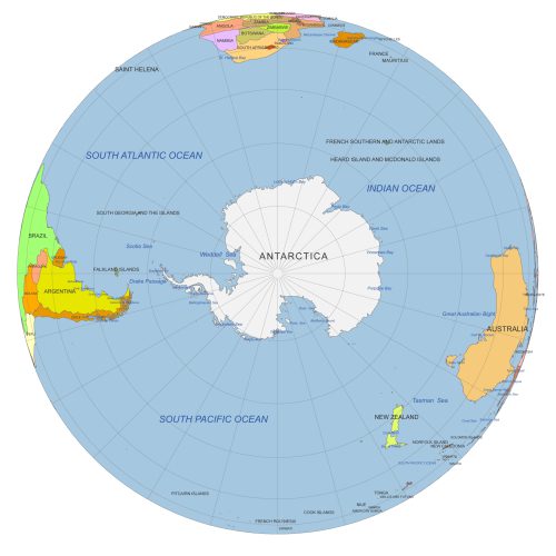
South Pole From Space
South Pole from Space view with Antarctica, seas & oceans. Color vector map with 30° graticules. AI & layered PDF. Perfect for polar studies & design.
Price range: 12,00 $ through 15,00 $
Select optionsThis product has multiple variants. The options may be chosen on the product page
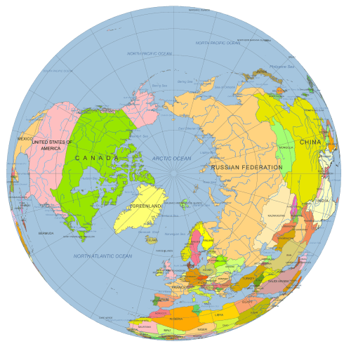
North Pole Globe Map
North Pole Globe Map view at 90°N. Vector map with countries, Arctic Ocean, rivers & graticules. AI (3 MB) & layered PDF (2.6 MB). Great for polar projects.
Price range: 12,00 $ through 15,00 $
Select optionsThis product has multiple variants. The options may be chosen on the product page
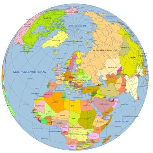
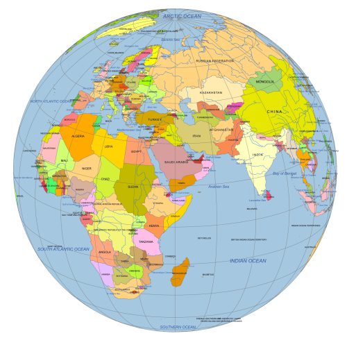
Europe Continent Focused Globe. Reference map
Europe Continent Focused Globe. Reference map. Perfect for infographics, educational materials, print layouts, or digital projects.
Price range: 12,00 $ through 15,00 $
Select optionsThis product has multiple variants. The options may be chosen on the product page
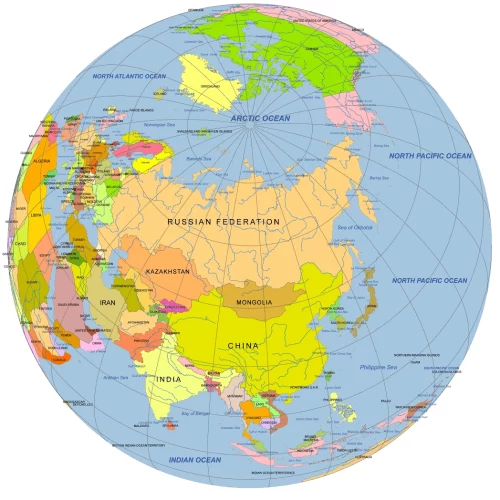
Central Asia Focused Rotated Globe. Reference map
Central Asia Focused Rotated Globe map at 50°N, 60°W. Colored vector map with countries, waterbodies & graticules. AI & layered PDF formats.
Price range: 12,00 $ through 15,00 $
Select optionsThis product has multiple variants. The options may be chosen on the product page
Near East Focused Colored Globe With Countries
Near East focused colored Globe with countries. This reference-style map is ideal for presentations, infographics, and educational content.
Price range: 12,00 $ through 15,00 $
Select optionsThis product has multiple variants. The options may be chosen on the product page
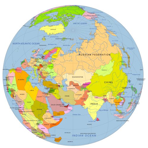
Near East And Central Asia On Globe
Near East And Central Asia On Globe with countries vector artwork. Reference map. Ideal for infographics, reports, educational use, or publishing
Price range: 12,00 $ through 15,00 $
Select optionsThis product has multiple variants. The options may be chosen on the product page
South America Globe Map PDF
South America Globe Map PDF Ideal for designers, educators, and data visualization projects focused on South America.
Price range: 12,00 $ through 15,00 $
Select optionsThis product has multiple variants. The options may be chosen on the product page
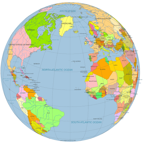
Vector Globe North America to Europe
Vector Globe North America to Europe (30°N, 30°W). Designed for professional use, ideal for editorial, educational, or presentation purposes.
Price range: 12,00 $ through 15,00 $
Select optionsThis product has multiple variants. The options may be chosen on the product page
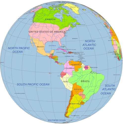
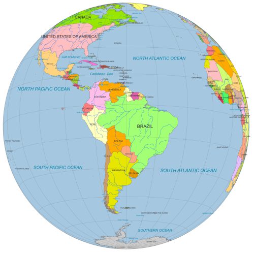
America on Globe map
America on globe map - North and South - with countries, water bodies, and graticules: Adobe Illustrator and PDF files.
Price range: 12,00 $ through 15,00 $
Select optionsThis product has multiple variants. The options may be chosen on the product page