
Guard your time. It's all you have. Naval Ravikant


Related Products
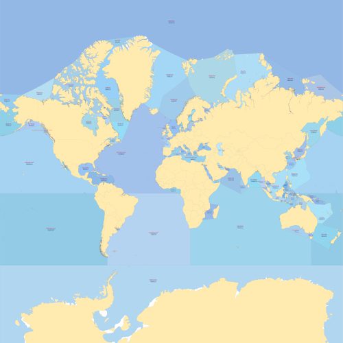
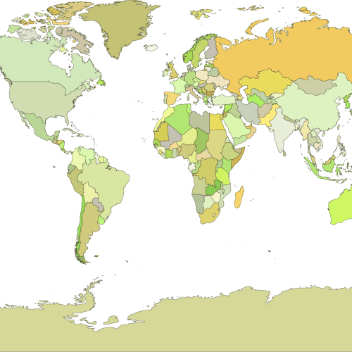
Vector Map of the Seas and Oceans of the World
Price range: 14,90 $ through 15,00 $
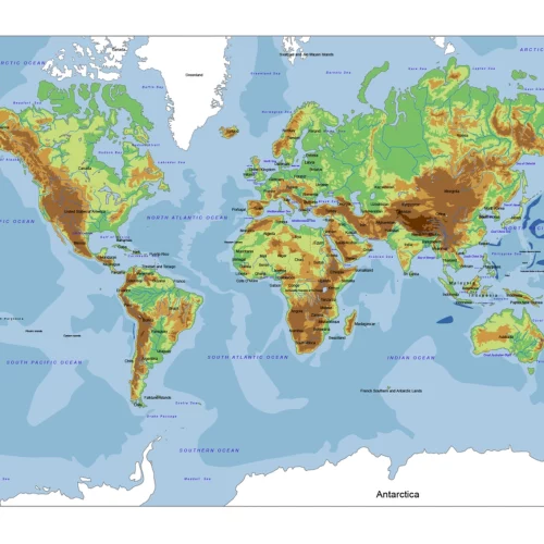
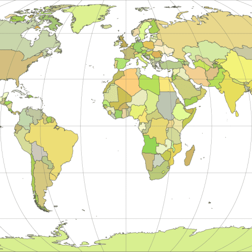
World Relief Vector Map
Price range: 14,50 $ through 15,00 $
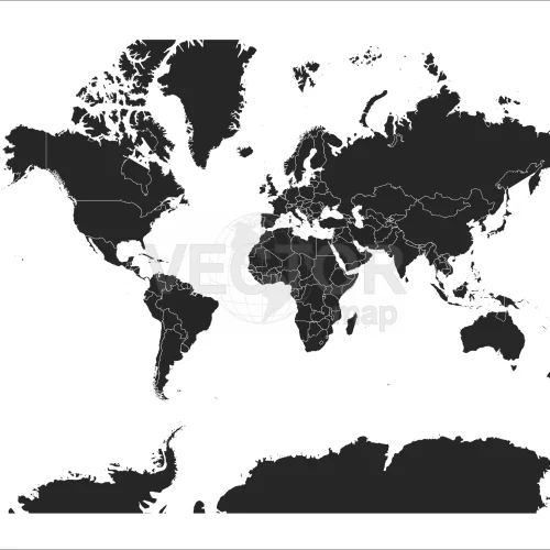
Black-filled-world-vector-map
Price range: 9,80 $ through 9,90 $
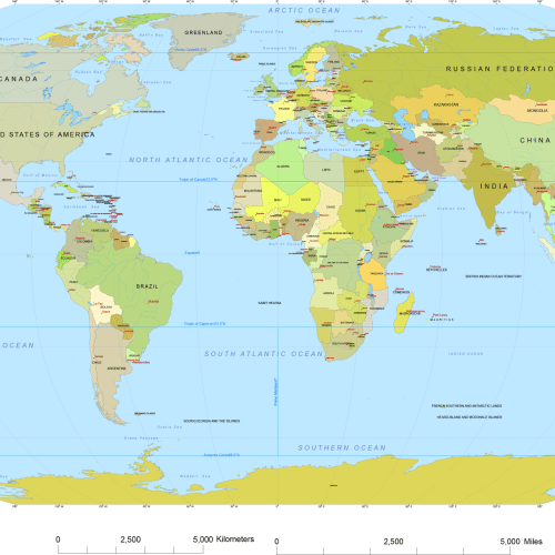
Vector World Map With Names
Price range: 19,70 $ through 19,90 $
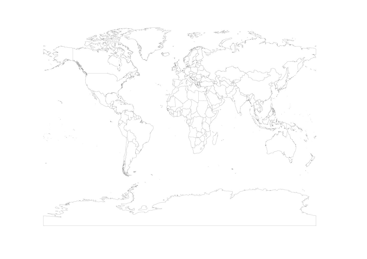
Vector-world-map-Robinson-projection
Price range: 9,70 $ through 9,90 $
Wgs1984-vector-world-map
Price range: 9,60 $ through 9,90 $
Reviews
There are no reviews yet.