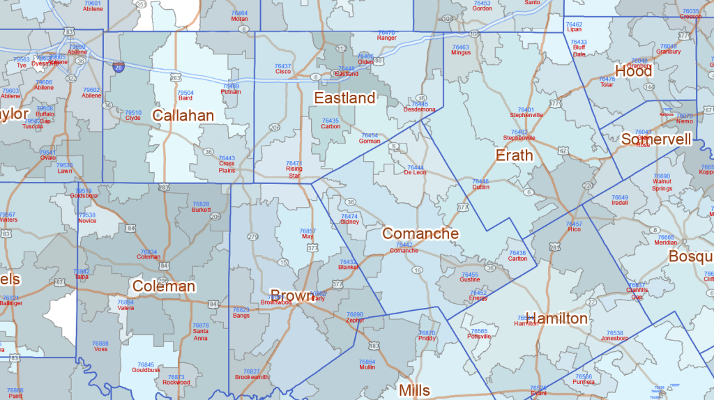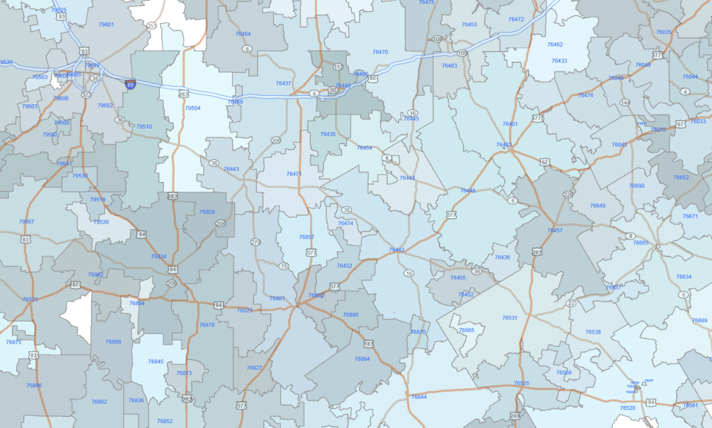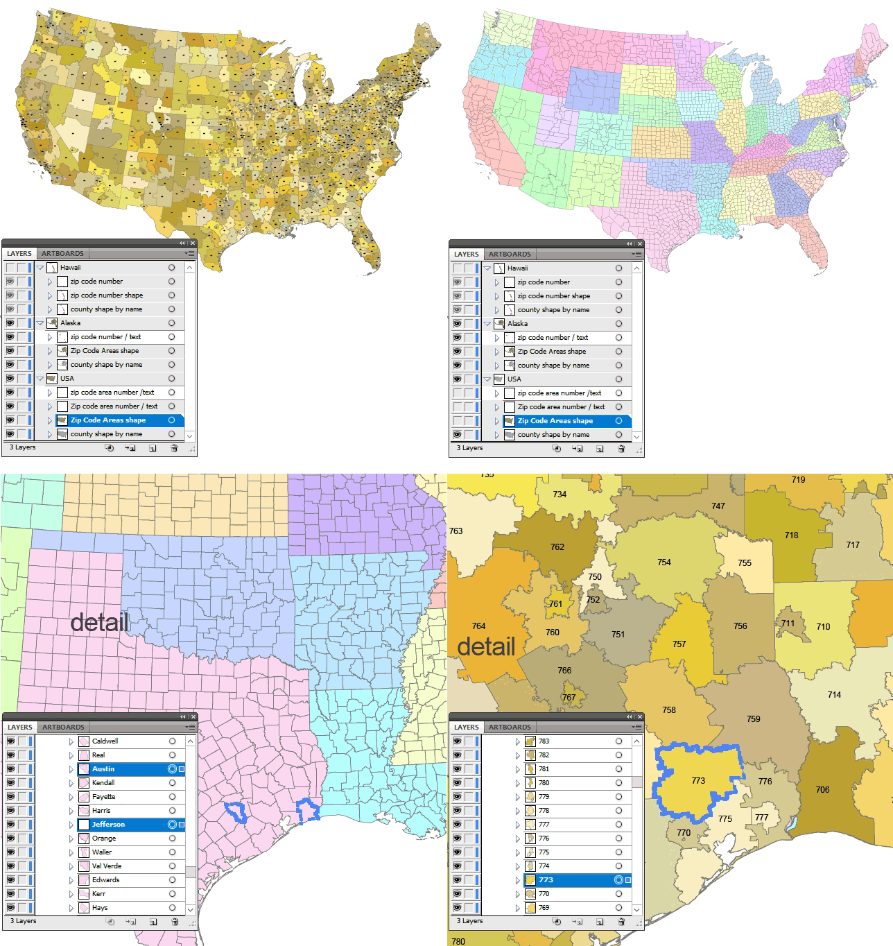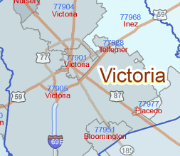
Texas ZIP Codes and Road Maps represent a highly detailed and intricate collection, featuring shades of blue for visual clarity. The five-digit ZIP codes and primary city names are placed on separate, editable layers. The background includes 50% transparency, highlighting three main types of routes—Interstate highways, State highways, and State Routes—each marked with their respective numbers. Additionally, the map includes county borders and names for a complete geographical overview.
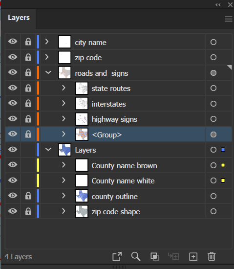
Layers:
– Location name
– Postcode Number
– State Route Signs
– Interstate Highway Signs
– Highway Signs
– Road Lines
– County name
– County borderlines
– ZIP Code Shapes
Instant Download File Size: 21.3 MB”
