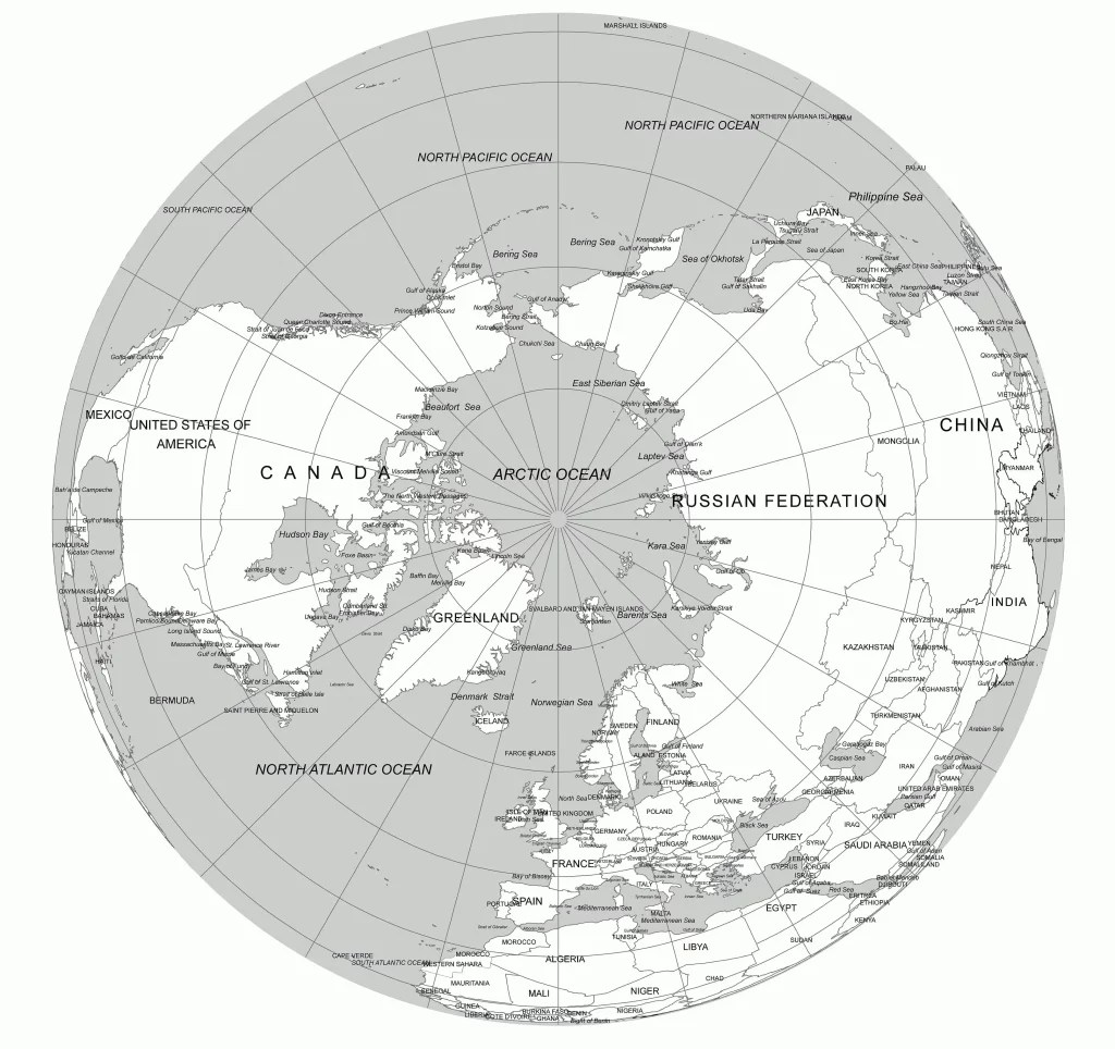
Northern Hemisphere with Countries. Data from NaturalEarthData.com. Projection: North Pole from Space. (Azimuthal equidistant projection.) Outline map with country and ocean names. Adobe Illustrator map. File formats: AI, PDF, JPG. Scalable map. Instant download.
Northern Hemisphere with Countries is an engaging and informative map that showcases the beauty and diversity of the Northern Hemisphere. This map features detailed country and ocean names, allowing you to explore the various countries that make up this part of the world.
Created using data from NaturalEarthData.com and projected in an awe-inspiring North Pole from Space (Azimuthal equidistant) projection, this map offers a unique perspective. Whether you’re a geography enthusiast, a student, or a traveler, this map provides an excellent reference tool to learn about the countries and their locations in the Northern Hemisphere.
The map is designed in Adobe Illustrator, ensuring high quality and clarity. It is available in multiple file formats, including AI, PDF, and JPG, making it versatile and compatible with various platforms.
One of the standout features of this map is its scalability – you can easily zoom in or out without compromising the map’s quality. Additionally, this map is available as an instant download, allowing you to access it immediately after purchase.
Perfect for educational purposes, presentations, or simply as a beautiful addition to your collection, this map is a must-have for anyone interested in exploring the Northern Hemisphere.

