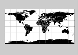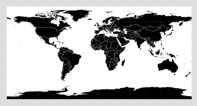
WGS1984 projection
Black filled world outline vector map often used by designers to create schematic maps or for PowerPoint presentations and stock illustrations. Available in all standard vector formats. AI, EPS, SVG, CDR, PDF, WMF.
You simply have to add it to the cart, and it can be downloaded immediately with an email address of your choice without registration. World map silhouette images in 6 vector format. Each country can be edited separately.
Seven continents Africa, Antarctica, Asia, Australia, Europe, North America, and South America.
Black filled world outline vector map
PDF, EPS, JPG, SVG, WMF, AI format (see download link)

Show some love… for your free map
Black filled world outline vector map
Antique world map
