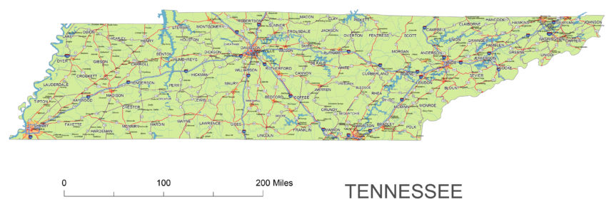
Tennessee road map includes interstates, US Highways and State routes
300 dpi jpg: 4561 x 1038 px = 15,20 x 3,46 inches
The main roads, highways and state roads, the numbering of the roads, the names of the most important settlements, about 200 names, the border lines of the counties, the most important rivers and lakes.
Main cities: Nashcille, Jakson, Clarksville, Lewisbourg, Memphis, Cookeville, Tullahoma, Petersburg, Ardmore, Loretto, Decturville, Mount Pleasant, Centerville, Elkton, Hohenwald, Iron City, Waverly,
Roads: Highway 65, 24, 40, 155
 |
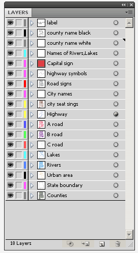
Layers_county name black of state Tennessee |
|||||||
Other Tennessee map: Zip code map, County map

