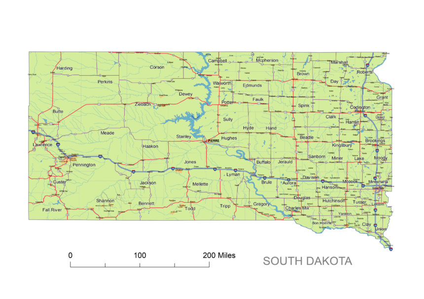
South Dakota printable map includes interstates, US Highways and State routes
JPG ready for print. Size: 4354 x 1468 px at 300 dpi
 |
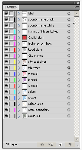
Layers
|
| _county name black of state South Dakota |
| _country name white of state South Dakota |
| _names of rivers, lakes of state South Dakota |
| _capital sign of state South Dakota |
| _highway symbols of state South Dakota |
| _road singns state South Dakota |
| _city names of state South Dakota |
| _highway – lines of state South Dakota |
| _A road lines of state South Dakota |
| _B road lines of state South Dakota |
| _C road lines of state South Dakota |
| _lakes of state South Dakota |
| _rivers of state South Dakota |
| _urban areas of state South Dakota |
| _state border os state South Dakota |
| _counties of state South Dakota |
|

South Dakota Printable Map Of Highways, State Roads, Rivers, Main Cities, Locations, Counties.
Sout Dakota 3-digit-zip-code-map, County seats ND&SD, South Dakota 5-digit-zip-code map, Subdivision map of South dakota, 7 county map of West-North-Central, County map of South Dakota,


