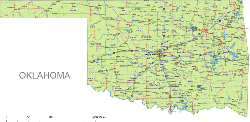
Oklahoma state vector road map includes interstates, US Highways and State routes
|
| Layers |
| _county name black of state Oklahoma |
| _country name white of state Oklahoma |
| _names of rivers, lakes of state Oklahoma |
| _capital sign of state Oklahoma |
| _highway symbols of state Oklahoma |
| _road singns state Oklahoma |
| _city names of state Oklahoma |
| _highway – lines of state Oklahoma |
| _A road lines of state Oklahoma |
| _B road lines of state Oklahoma |
| _C road lines of state Oklahoma |
| _lakes of state Oklahoma |
| _rivers of state Oklahoma |
| _urban areas of state Oklahoma |
| _state border os state Oklahoma |
| _counties of state Oklahoma |
|

Oklahoma Highways, State Roads, Rivers, Main Cities, Locations, Counties.printable Map.
Other map of the state:
Oklahoma zip code vector map
Preview of Counties and municipalities of Oklahoma state

