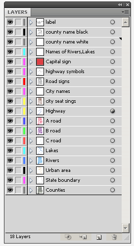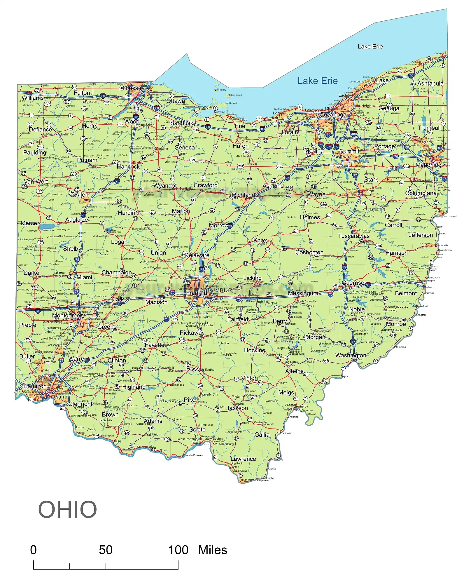
Files of Ohio State vector road map for printing. Fourteen self-explanatory layers make up the vector map of the state of Ohio. Individual files were created from each of them, which edit turned off and arranged in any order you like. In the basic layout, the areas of theFiles of Ohio State vector road map. are green, but it is a matter of individual taste to change the colours of the road map to whatever you like.
Ohio State vector road map major roads are classified as first, second, and third grade and are marked with red, purple, and brown colours.
 |
||||||||
Layers
_county name black of state Ohio
_country name white of state Ohio
_names of rivers, and lakes of state Ohio
_capital sign of state Ohio
_highway symbols of the state of Ohio
_road signs state Ohio
_city names of state Ohio_highway
– lines of state Ohio
_A road line of the state of Ohio
_B road lines of the state of Ohio
_C road lines of the state of Ohio
_lakes of the state of Ohio
_rivers of the state of Ohio
_urban areas of the state of Ohio
_state border of state Ohio
_counties of the state of Ohio

