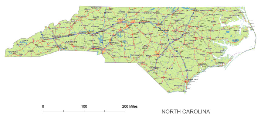
North Carolina State National and State Highways map.
A map of Texas includes interstates, US Highways and State routes
JPG is 4843 x 2244 pixel at 300 dpi
 |
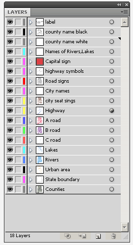
Layers -county name black of state North Carolina -country name white of state North Carolina -names of rivers, lakes of state North Carolina -capital sign of state North Carolina -highway symbols of state North Carolina -road signs state North Carolina -city names of state North Carolina -highway – lines of state North Carolina -A road lines of state North Carolina -B road lines of state North Carolina -C road lines of state North Carolina -lakes of state North Carolina -rivers of state North Carolina -urban areas of state North Carolina -state border os state North Carolina -counties of state North Carolina |

