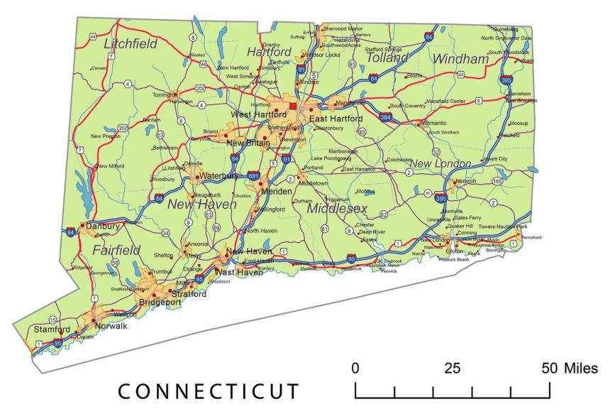
Connecticut State National and State Higways map
 |
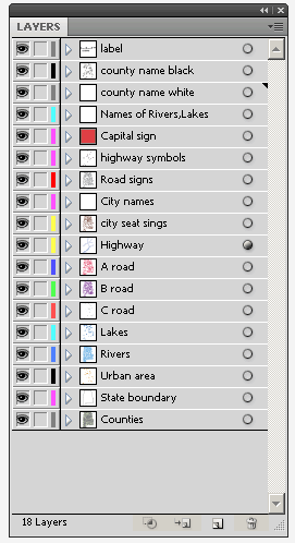
Layers -county name black of state Connecticut -country name white of state Connecticut -names of rivers, lakes of state Connecticut -capital sign of state Connecticut -highway symbols of state Connecticut -road signs state Connecticut -city names of state Connecticut -highway – lines of state Connecticut -A road lines of state Connecticut -B road lines of state Connecticut -C road lines of state Connecticut -lakes of state Connecticut -rivers of state Connecticut -urban areas of state Connecticut -state border os state Connecticut -counties of state Connecticut |
Metro Areas:
Major Cities:
Major Place:
Connecticut Interstates:
North-South interstates include: Interstate 91, Interstate 95 and Interstate 395. East-West interstates include: Interstate 84.
Connecticut Routes:
US Highways and State Routes include: Route 1, Route 5, Route 6, Route 7, Route 44 and Route 202.

