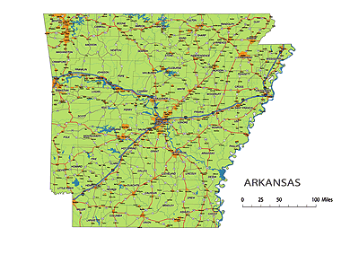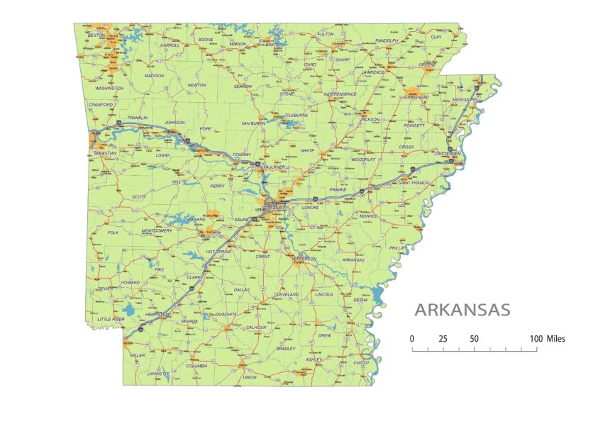
Arkansas State vector road map
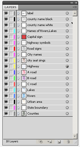
 Image Shows Layers Of Adobew Illustrator File |
Layers-county name black of state Arkansas -country name white of state Arkansas -names of rivers, lakes of state Arkansas -capital sign of state Arkansas -highway symbols of state Arkansas -road singns state Arkansas -city names of state Arkansas -highway – lines of state Arkansas -A road lines of state Arkansas -B road lines of state Arkansas -C road lines of state Arkansas -lakes of state Arkansas -rivers of state Arkansas -urban areas of state Arkansas -state border os state Arkansas -counties of state Arkansas |
Counties:
Arkansas, Ashley, Baxter, Benton, Boone, Bradley, Calhoun, Carroll, Chicot, Clark, Clay, Cleburne, Cleveland, Columbia, Conway, Craighead, Crawford, Crittenden, Cross, Dallas, Desha, Drew, Faulkner, Franklin, Fulton, Garland, Grant, Greene, Hempstead, Hot Spring, Howard, Independence, Izard, Jackson, Jefferson, Johnson, Lafayette, Lawrence, Lee, Lincoln, Little River, Logan, Lonoke, Madison, Marion, Miller, Mississippi, Monroe, Montgomery, Nevada, Newton, Ouachita, Perry, Phillips, Pike, Poinsett, Polk, Pope, Prairie, Pulaski, Randolph, Saline, Scott, Searcy, Sebastian, Sevier, Sharp, St. Francis, Stone, Union, Van Buren, Washington, White, Woodruff, Yell
Metro Areas:
Arkadelphia Area, Batesville Area, Blytheville Area, Camden Area, El Dorado Area, Fayetteville Area, Forrest City Area, Fort Smith Area, Harrison Area, Helena Area, Hot Springs Area, Jonesboro Area, Little Rock Area, Magnolia Area, Malvern Area, Memphis Area, Mountain Home Area, Paragould Area, Pine Bluff Area, Russellville Area, Searcy Area, Texarkana Area
Major Cities:
Arkadelphia, Batesville, Beebe, Benton, Bentonville, Blytheville, Bryant, Cabot, Camden, Centerton, Clarksville, Conway, El Dorado, Fayetteville, Forrest City, Fort Smith, Greenwood, Harrison, Helena-West Helena, Hope, Hot Springs, Jacksonville, Jonesboro, Little Rock, Lowell, Magnolia, Malvern, Marion, Maumelle, Monticello, Mountain Home, Newport, North Little Rock, Osceola, Paragould, Pine Bluff, Rogers, Russellville, Searcy, Sherwood, Siloam Springs, Springdale, Stuttgart, Texarkana, Trumann, Van Buren, West Memphis, Wynne
Arkansas Interstates on map:
North-South interstates include: Interstate 55. East-West interstates include: Interstate 30 and Interstate 40.Arkansas Routes on map:
US Highways and State Routes include: Route 49, Route 62, Route 63, Route 64, Route 65, Route 67, Route 70, Route 71, Route 79, Route 82, Route 165, Route 167, Route 270, Route 412 and Route 425.
Preview of Arkansas State vector road map: The Arkansas State vector road map showcases the geography features of the state, including the road network, urban areas, cities, rivers, state highways, highway symbols, and road shields. It provides a comprehensive overview of the transportation infrastructure in Arkansas. With a friendly tone and a length of 3-4 sentences, this text serves as an introduction to the map and highlights the key elements it showcases.
Other Arkansas map: Arkansas 5 digit zip code map Detail of Arkansas civil township vector map, county seats of AR

