Description
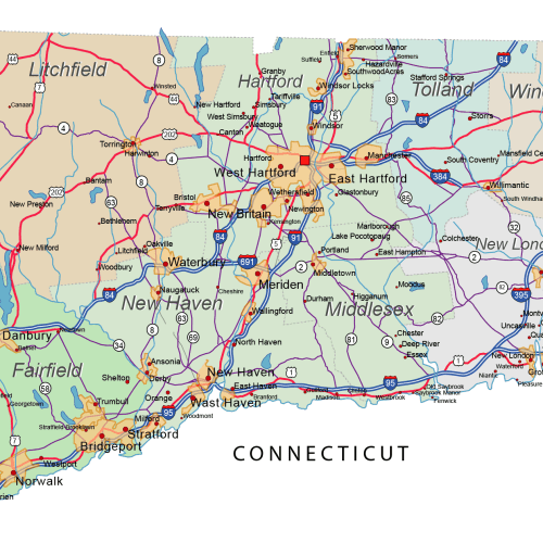
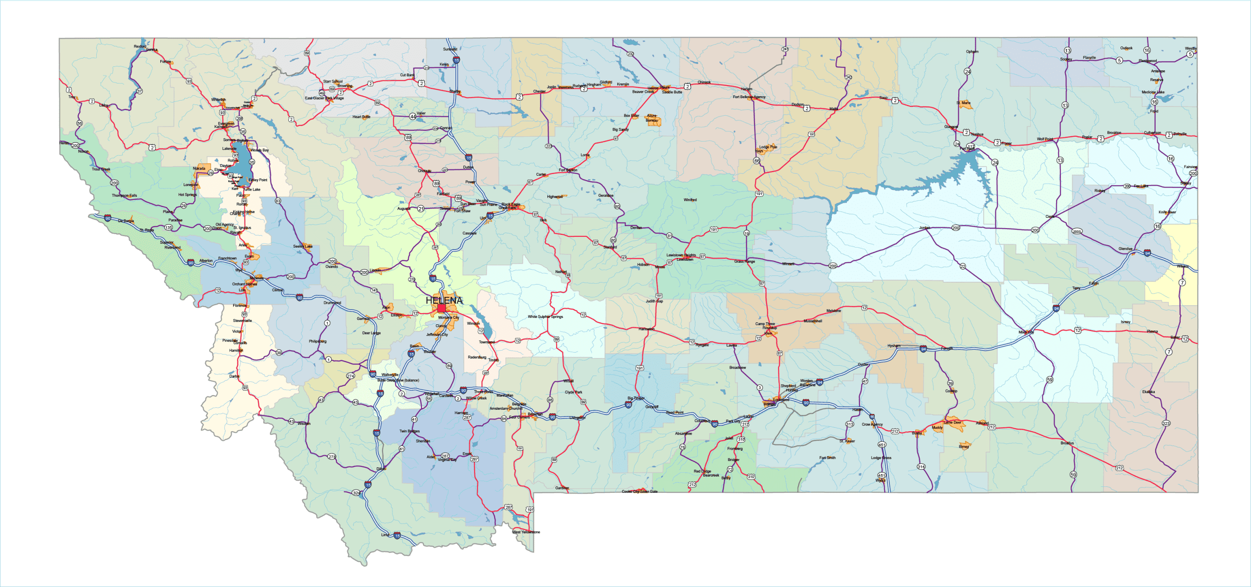
The most detailed map of Montana includes a vast array of elements:
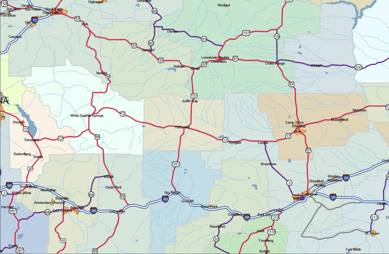
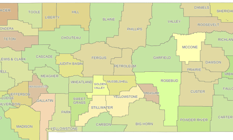
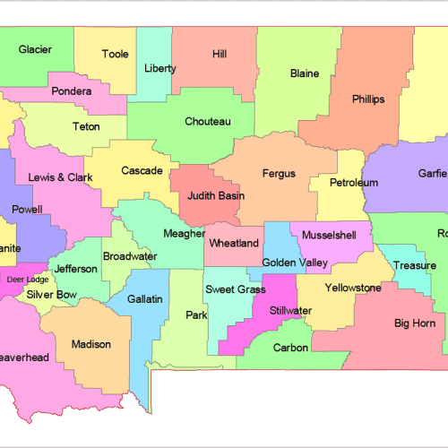
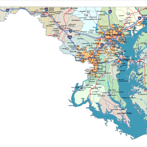
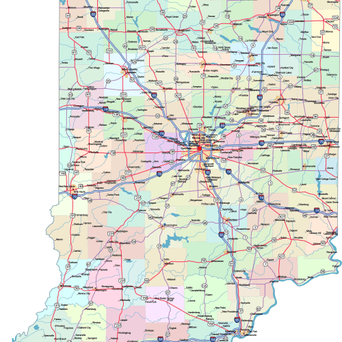
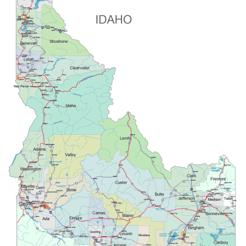
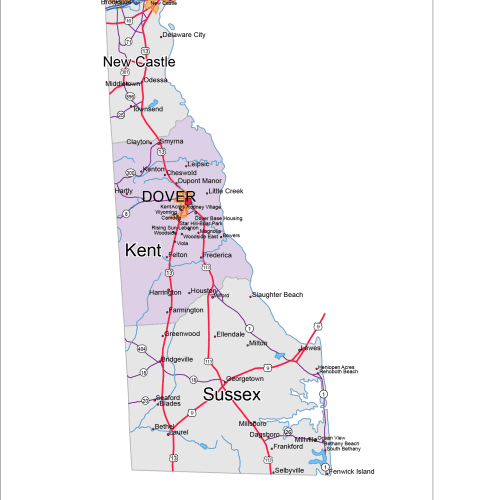
This comprehensive map of Montana road and city map displays a wide range of features, including major roads, cities, and larger settlements, sometimes over a hundred names. It also highlights key water bodies such as rivers and lakes, as well as international roads and signage. Major motorways and state routes are shown with their respective route shields. County boundaries and names are included as well.
Due to the sheer volume of information, not all features can be displayed simultaneously. Instead, specific layers are toggled on or off to achieve the desired appearance.
Available Map Layers
• Scalable base
• County names
• Names of rivers and lakes
• Capital city marker
• Highway symbols
• Road signs
• City names
• County seat markers (dots)
• Highway lines
• Motorway lines
• State highway lines
• State routes
• Lakes
• Rivers
• Urban areas
• State boundary
• County shapes
Only logged in customers who have purchased this product may leave a review.


Reviews
There are no reviews yet.